| Memorials | : | 0 |
| Location | : | McKinley, St. Louis County, USA |
| Coordinate | : | 47.5057200, -92.4122300 |
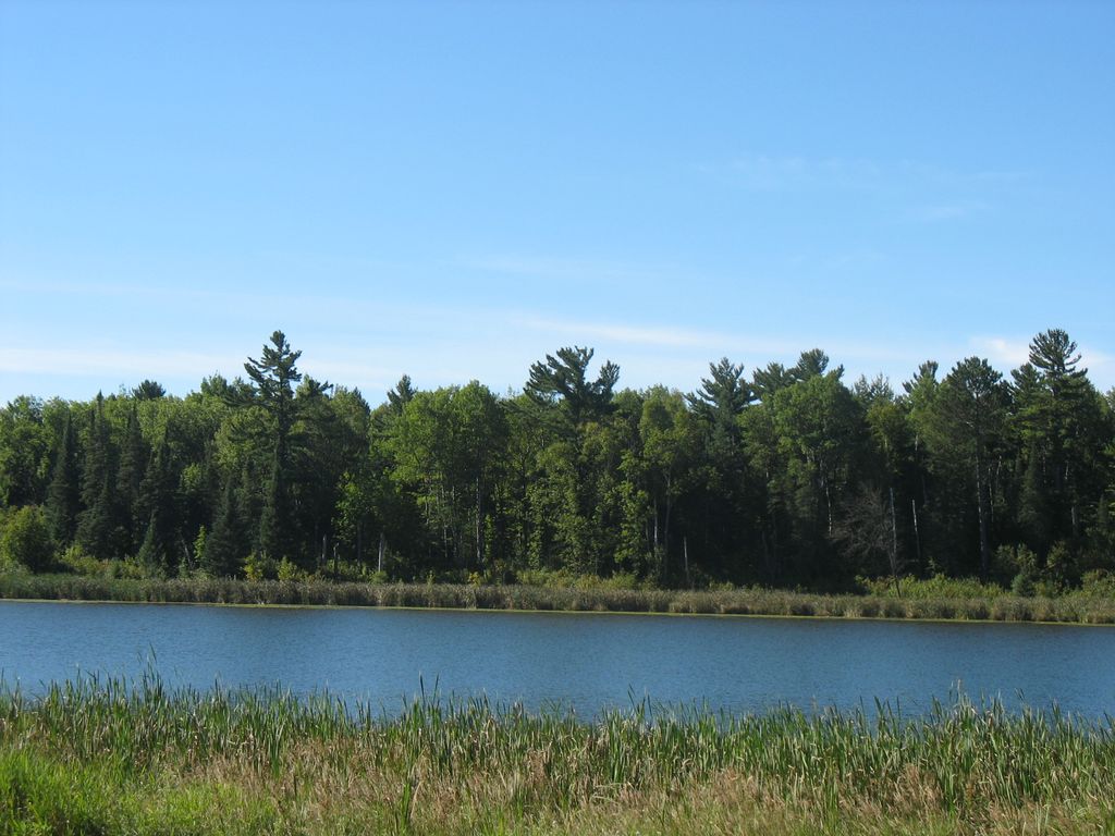
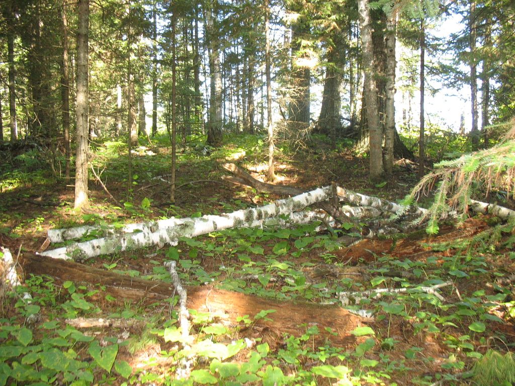
| Description | : | This cemetery has no signs or grave markers. There are only about 5-6 people buried here, including twin girls whose names will be added as soon as verified. There is no marked trail to the cemetery, however you might be able follow a four-wheeler trail in from County Rd 20 at the south end of McKinley Lake if it has been recently used. The picture including the McKinley Lake shows where the cemetery is on the far side of the lake toward the right where you can see the tall White Pine trees. The other picture shows... Read More |
frequently asked questions (FAQ):
-
Where is McKinley Cemetery?
McKinley Cemetery is located at McKinley, St. Louis County ,Minnesota ,USA.
-
McKinley Cemetery cemetery's updated grave count on graveviews.com?
0 memorials
-
Where are the coordinates of the McKinley Cemetery?
Latitude: 47.5057200
Longitude: -92.4122300
Nearby Cemetories:
1. Biwabik Township Cemetery
Gilbert, St. Louis County, USA
Coordinate: 47.4763600, -92.3692320
2. Gilbert Cemetery
Gilbert, St. Louis County, USA
Coordinate: 47.4808006, -92.4785995
3. Lakeside Cemetery
Biwabik, St. Louis County, USA
Coordinate: 47.5250000, -92.3290000
4. Eveleth Cemetery
Eveleth, St. Louis County, USA
Coordinate: 47.4775505, -92.5340805
5. Calvary Cemetery
Virginia, St. Louis County, USA
Coordinate: 47.5305100, -92.5538700
6. Greenwood Cemetery
Virginia, St. Louis County, USA
Coordinate: 47.5292015, -92.5552979
7. Range Hebrew Cemetery
Virginia, St. Louis County, USA
Coordinate: 47.5269600, -92.5562690
8. Florenton Cemetery
St. Louis County, USA
Coordinate: 47.6122017, -92.4738998
9. Forest Hill Cemetery
Aurora, St. Louis County, USA
Coordinate: 47.5181007, -92.2356033
10. Rauha Cemetery
St. Louis County, USA
Coordinate: 47.4183000, -92.2878000
11. Old Pioneer Cemetery
Mountain Iron, St. Louis County, USA
Coordinate: 47.5312561, -92.6146764
12. West Pike Cemetery
St. Louis County, USA
Coordinate: 47.6458015, -92.4274979
13. Freedoms Palace Cemetery
Mountain Iron, St. Louis County, USA
Coordinate: 47.5385510, -92.6221880
14. South Sandy Cemetery
Britt, St. Louis County, USA
Coordinate: 47.6441690, -92.4923520
15. Pike Evangelical Lutheran Church Cemetery
Embarrass, St. Louis County, USA
Coordinate: 47.6551220, -92.3681280
16. Colby Memorial Cemetery
Colby, St. Louis County, USA
Coordinate: 47.5419884, -92.1659088
17. North Sandy Cemetery
Britt, St. Louis County, USA
Coordinate: 47.6660340, -92.4998998
18. Hoyt Lakes Memorial Cemetery
Hoyt Lakes, St. Louis County, USA
Coordinate: 47.5161110, -92.1447220
19. East Pike Cemetery
Embarrass, St. Louis County, USA
Coordinate: 47.6635930, -92.2578710
20. Embarrass Cemetery
St. Louis County, USA
Coordinate: 47.6643982, -92.2574997
21. Forbes Cemetery
Forbes, St. Louis County, USA
Coordinate: 47.3605995, -92.5991974
22. Old Mesaba Cemetery
Aurora, St. Louis County, USA
Coordinate: 47.5832890, -92.1345430
23. Cherry-Clinton Cemetery
Cherry, St. Louis County, USA
Coordinate: 47.4221992, -92.6860962
24. Old Vermilion Lake Cemetery
St. Louis County, USA
Coordinate: 47.7252998, -92.3569031


