
| Memorials | : | 0 |
| Location | : | Schlater, Leflore County, USA |
| Coordinate | : | 33.6459390, -90.3765220 |
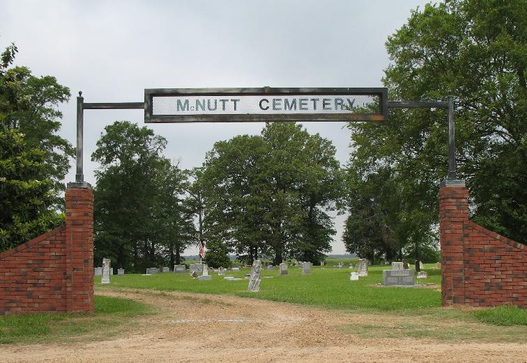
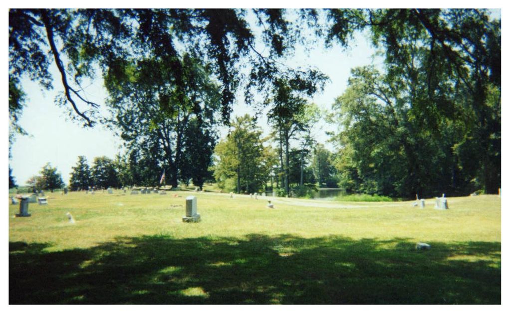
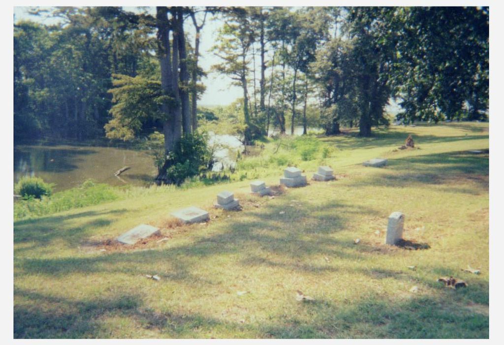
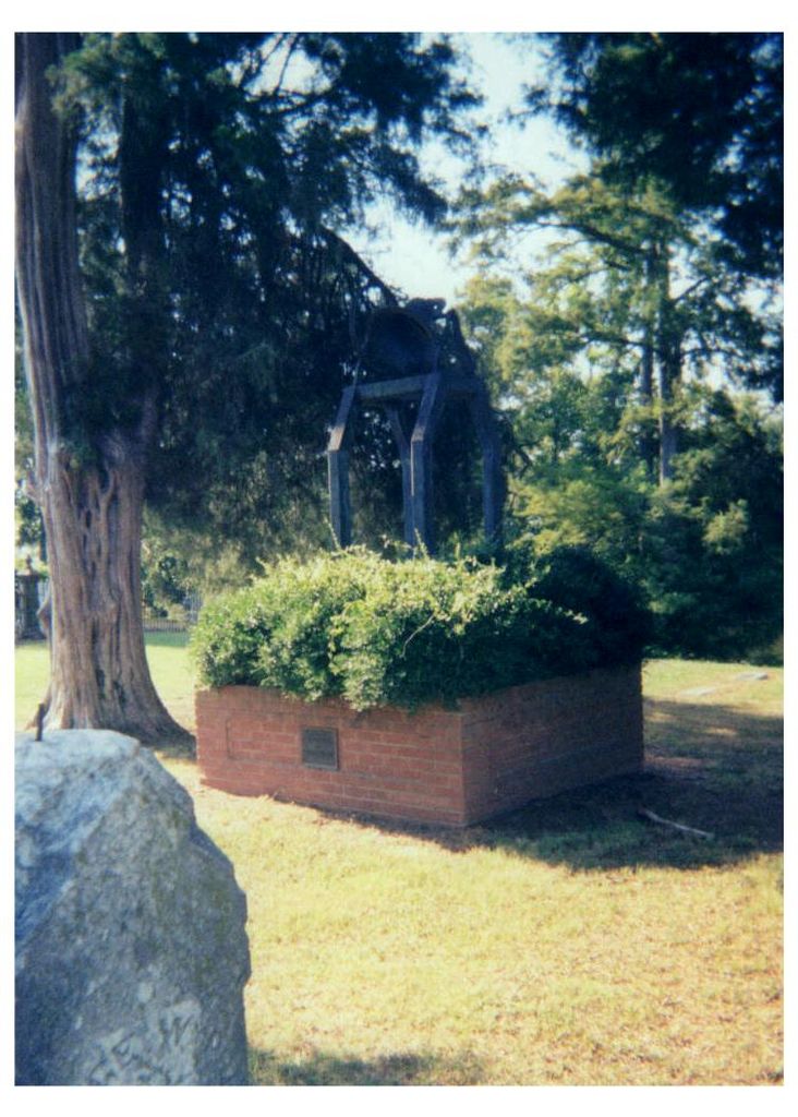
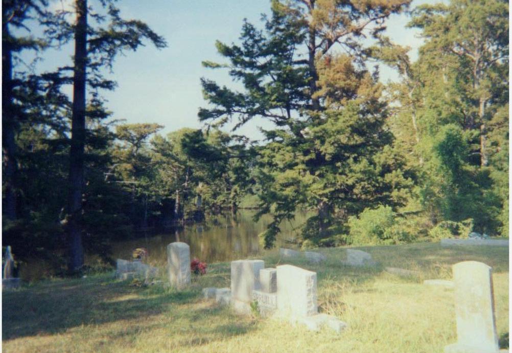
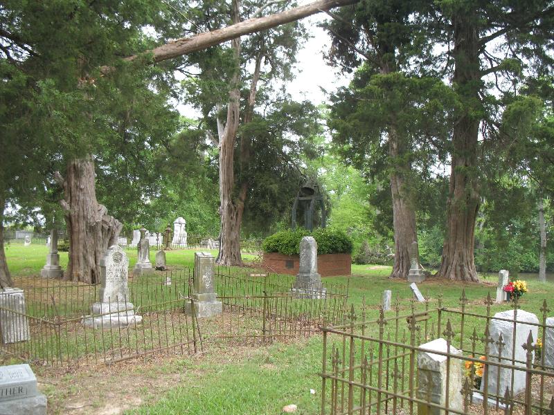
| Description | : | Starting at the intersection of HWY 8 & 49W in Ruleville, MS turn right on 49W and travel 5.4 miles. Turn left onto Hwy 442E and travel 8.5 miles. Turn left onto gravel road and travel .3 miles then turn left and travel .1 mile to entrance of cemetery. This is a well kept Caucasian cemetery that was established in 1851. There is a wrought iron fenced in a section under a large tree next to the creek bank which has no markers. Also note: McNutt Cemetery was formerly in Sunflower County, MS (per R. Wicks, 8/11/12) |
frequently asked questions (FAQ):
-
Where is McNutt Cemetery?
McNutt Cemetery is located at Schlater, Leflore County ,Mississippi ,USA.
-
McNutt Cemetery cemetery's updated grave count on graveviews.com?
0 memorials
-
Where are the coordinates of the McNutt Cemetery?
Latitude: 33.6459390
Longitude: -90.3765220
Nearby Cemetories:
1. Buckhorn Cemetery
Schlater, Leflore County, USA
Coordinate: 33.6531600, -90.3662100
2. Holmes Chapel Cemetery
Schlater, Leflore County, USA
Coordinate: 33.6212400, -90.3784760
3. Pleasant Valley Cemetery
Leflore County, USA
Coordinate: 33.6143990, -90.4060974
4. Walker Cemetery
Highlandale, Leflore County, USA
Coordinate: 33.6861900, -90.3526200
5. Humphrey Cemetery
Leflore County, USA
Coordinate: 33.6864014, -90.3527985
6. Mount Zion Church Cemetery
Schlater, Leflore County, USA
Coordinate: 33.5987230, -90.3255240
7. Sunnyside Chapel CME Church Cemetery
Sunnyside, Leflore County, USA
Coordinate: 33.6931070, -90.3146870
8. West Family Cemetery
Doddsville, Sunflower County, USA
Coordinate: 33.6690200, -90.4707400
9. I John Cemetery
Doddsville, Sunflower County, USA
Coordinate: 33.6480200, -90.4748500
10. Watkins Cemetery
Leflore County, USA
Coordinate: 33.7202988, -90.3321991
11. Joiner Family Cemetery
Sunnyside, Leflore County, USA
Coordinate: 33.6964740, -90.2955180
12. Saint Pauls Cemetery
Leflore County, USA
Coordinate: 33.6041985, -90.2855988
13. New Enna Missionary Baptist Cemetery
Schlater, Leflore County, USA
Coordinate: 33.5688800, -90.3258000
14. Marsh Prairie Church Cemetery
Minter City, Leflore County, USA
Coordinate: 33.7229900, -90.3229000
15. New Foundation Church Cemetery
Leflore County, USA
Coordinate: 33.5533940, -90.3648660
16. Bell Grove Church Cemetery
Shellmound, Leflore County, USA
Coordinate: 33.6093030, -90.2640740
17. Brown Cemetery
Minter City, Leflore County, USA
Coordinate: 33.7461100, -90.3534500
18. Smith Chapel Cemetery
Minter City, Leflore County, USA
Coordinate: 33.7563060, -90.3561970
19. Johnson Chapel Church Cemetery
Greenwood, Leflore County, USA
Coordinate: 33.6951000, -90.2540800
20. Sixteenth Section Cemetery
Sunflower County, USA
Coordinate: 33.6077995, -90.5046997
21. Lanes Cemetery
Leflore County, USA
Coordinate: 33.6758003, -90.2410965
22. Saint Marys Cemetery
Leflore County, USA
Coordinate: 33.7655983, -90.3775024
23. Goldbell Missionary Baptist Church Cemetery
Itta Bena, Leflore County, USA
Coordinate: 33.5452700, -90.2952700
24. Shiloh Cemetery
Tallahatchie County, USA
Coordinate: 33.7247009, -90.2593994