
| Memorials | : | 0 |
| Location | : | Mechelen, Arrondissement Mechelen, Belgium |
| Coordinate | : | 51.0399200, 4.4879600 |
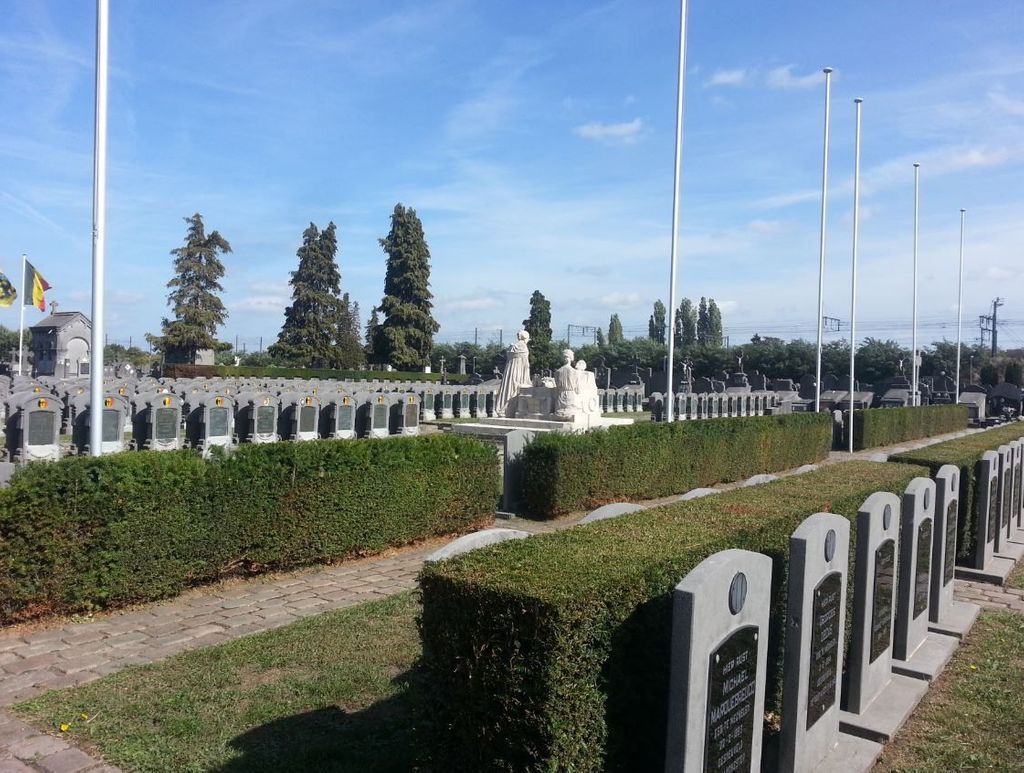
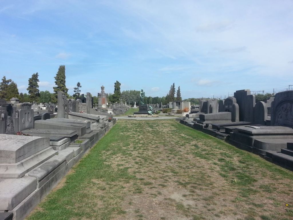
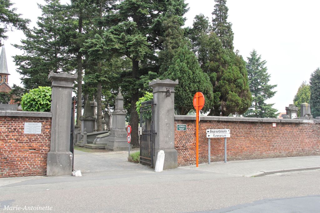
| Description | : | Location Information: The Cemetery is located north-east of the town off the N14 which runs between Mechelen and Lier. Driving out of Mechelen follow the N14 over the river to the 1st junction on the right, Caputsteenstraat. Turn right here past the prison and take the 1st turning on the left, Ziekebeemdenstraat, then take the 1st turning on the left into Kleine Nieuwedijkstraat. Walk into the entrance in Kleine Nieuwendijkstraat and follow the centre path, take the 4th path on the left and the graves are a short way along on the right, in plot H. Historical Information: The British Expeditionary... Read More |
frequently asked questions (FAQ):
-
Where is Mechelen Communal Cemetery?
Mechelen Communal Cemetery is located at Mechelen, Arrondissement Mechelen ,Antwerp (Antwerpen) ,Belgium.
-
Mechelen Communal Cemetery cemetery's updated grave count on graveviews.com?
0 memorials
-
Where are the coordinates of the Mechelen Communal Cemetery?
Latitude: 51.0399200
Longitude: 4.4879600
Nearby Cemetories:
1. Sint-Romboutskathedraal
Mechelen, Arrondissement Mechelen, Belgium
Coordinate: 51.0288540, 4.4792040
2. Mechelen Pasbrug-Nieuwendijk Graveyard
Sint-Katelijne-Waver, Arrondissement Mechelen, Belgium
Coordinate: 51.0389703, 4.5092488
3. Elzestraat Begraafplaats
Sint-Katelijne-Waver, Arrondissement Mechelen, Belgium
Coordinate: 51.0605500, 4.4796700
4. Hombeek Cemetery
Mechelen, Arrondissement Mechelen, Belgium
Coordinate: 51.0176800, 4.4413600
5. Bonheiden Communal Cemetery
Bonheiden, Arrondissement Mechelen, Belgium
Coordinate: 51.0237500, 4.5419100
6. Sint-Katelijne-Waver Cemetery
Sint-Katelijne-Waver, Arrondissement Mechelen, Belgium
Coordinate: 51.0713600, 4.5223200
7. Rumst cemetery
Rumst, Arrondissement Antwerpen, Belgium
Coordinate: 51.0829772, 4.4319681
8. Duffel Cemetery
Duffel, Arrondissement Mechelen, Belgium
Coordinate: 51.0982130, 4.5011330
9. Onze-Lieve-Vrouw Waver Communal Cemetery
Sint-Katelijne-Waver, Arrondissement Mechelen, Belgium
Coordinate: 51.0646300, 4.5730800
10. Weerde Cemetery
Zemst, Arrondissement Halle-Vilvoorde, Belgium
Coordinate: 50.9744200, 4.4796900
11. Schiplaken Churchyard
Boortmeerbeek, Arrondissement Leuven, Belgium
Coordinate: 50.9797700, 4.5301900
12. Reet Cemetery
Rumst, Arrondissement Antwerpen, Belgium
Coordinate: 51.0966400, 4.4174900
13. Rijmenam Cemetery
Bonheiden, Arrondissement Mechelen, Belgium
Coordinate: 51.0189100, 4.6010200
14. Blaasveld Churchyard
Willebroek, Arrondissement Mechelen, Belgium
Coordinate: 51.0566600, 4.3718100
15. Eppegem Belgian Military Cemetery
Zemst, Arrondissement Halle-Vilvoorde, Belgium
Coordinate: 50.9669100, 4.4555800
16. Boortmeerbeek Communal Cemetery
Boortmeerbeek, Arrondissement Leuven, Belgium
Coordinate: 50.9879700, 4.5774100
17. Tisselt Cemetery
Willebroek, Arrondissement Mechelen, Belgium
Coordinate: 51.0330400, 4.3636600
18. Lint Cemetery
Lint, Arrondissement Antwerpen, Belgium
Coordinate: 51.1223680, 4.5061110
19. Kapelle-op-den-Bos Communal Cemetery
Kapelle-op-den-Bos, Arrondissement Halle-Vilvoorde, Belgium
Coordinate: 51.0150800, 4.3569700
20. Boom Cemetery
Boom, Arrondissement Antwerpen, Belgium
Coordinate: 51.0957870, 4.3825040
21. Kontich Doodenhof Cemetery
Kontich, Arrondissement Antwerpen, Belgium
Coordinate: 51.1288450, 4.4512220
22. Willebroek Communal Cemetery
Willebroek, Arrondissement Mechelen, Belgium
Coordinate: 51.0589300, 4.3448600
23. Lier Belgian Military Cemetery
Lier, Arrondissement Mechelen, Belgium
Coordinate: 51.1239400, 4.5493700
24. Koningshooikt Cemetery
Lier, Arrondissement Mechelen, Belgium
Coordinate: 51.0990500, 4.6049200