
| Memorials | : | 0 |
| Location | : | Ingleside, Franklin County, USA |
| Coordinate | : | 36.1778260, -78.2792830 |
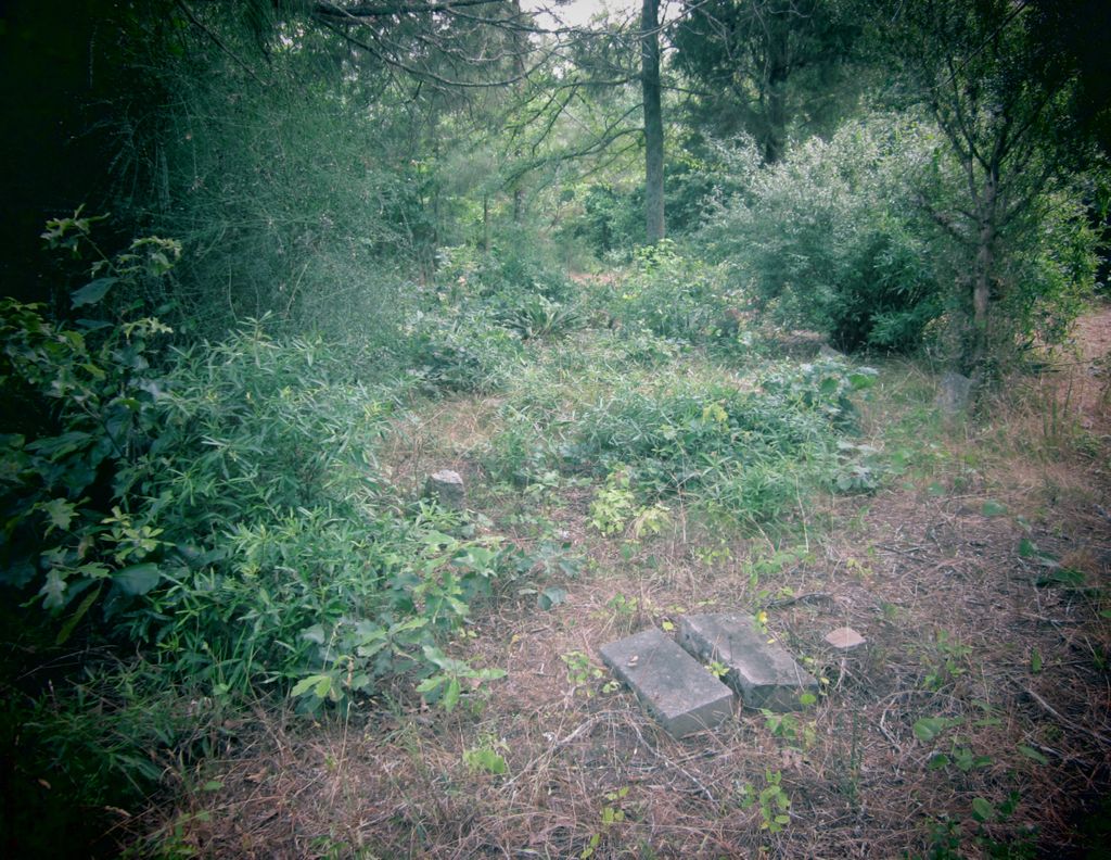
| Description | : | The Merritt Cemetery is located down a dirt path about 2 miles off of US 401 North about a mile north of Ingleside. It is on private property. This property was once part of the Peter Foster plantation. The Foster homeplace is nearby. |
frequently asked questions (FAQ):
-
Where is Merritt Cemetery?
Merritt Cemetery is located at Ingleside, Franklin County ,North Carolina ,USA.
-
Merritt Cemetery cemetery's updated grave count on graveviews.com?
0 memorials
-
Where are the coordinates of the Merritt Cemetery?
Latitude: 36.1778260
Longitude: -78.2792830
Nearby Cemetories:
1. Trinity United Methodist Church Cemetery
Ingleside, Franklin County, USA
Coordinate: 36.1879269, -78.2805498
2. Locust Grove Plantation Cemetery
Louisburg, Franklin County, USA
Coordinate: 36.1756100, -78.2918600
3. Locust Grove Plantation Slave Cemetery
Ingleside, Franklin County, USA
Coordinate: 36.1748000, -78.2920900
4. Hargrove Family Cemetery
Moulton, Franklin County, USA
Coordinate: 36.1732500, -78.2593800
5. Haywood Baptist Church Cemetery
Louisburg, Franklin County, USA
Coordinate: 36.1801730, -78.3000110
6. Corinth Baptist Church Cemetery
Louisburg, Franklin County, USA
Coordinate: 36.1962960, -78.2802330
7. Edwards Family Cemetery
Ingleside, Franklin County, USA
Coordinate: 36.2054440, -78.2712830
8. Long Family Cemetery
Kearney, Franklin County, USA
Coordinate: 36.2026980, -78.2612180
9. Joseph C Tharrington Family Cemetery
Moulton, Franklin County, USA
Coordinate: 36.1844550, -78.2441280
10. Macon Family Cemetery
Franklin County, USA
Coordinate: 36.1867130, -78.3151570
11. Gill Family Cemetery
Moulton, Franklin County, USA
Coordinate: 36.1468300, -78.2807700
12. Kearney Family Cemetery
Moulton, Franklin County, USA
Coordinate: 36.1596000, -78.2457500
13. Eaves Cemetery
Ingleside, Franklin County, USA
Coordinate: 36.2094700, -78.2973000
14. Pinnell Family Cemetery
Moulton, Franklin County, USA
Coordinate: 36.1779400, -78.2316300
15. Harris Farms Cemetery
Moulton, Franklin County, USA
Coordinate: 36.1778500, -78.2309300
16. Rowe Family Cemetery
Moulton, Franklin County, USA
Coordinate: 36.1500190, -78.2402850
17. Nelms Family Cemetery
Louisburg, Franklin County, USA
Coordinate: 36.1469210, -78.2438130
18. Mary Helen Jones Cemetery
Louisburg, Franklin County, USA
Coordinate: 36.1377900, -78.2627100
19. Allen Chapel Church Cemetery
Louisburg, Franklin County, USA
Coordinate: 36.1375970, -78.2617310
20. Ball Cemetery
Louisburg, Franklin County, USA
Coordinate: 36.1345100, -78.2817100
21. Mitchell Baptist Church Cemetery
Louisburg, Franklin County, USA
Coordinate: 36.2220100, -78.2911700
22. Ball Family Cemetery
Louisburg, Franklin County, USA
Coordinate: 36.1298100, -78.2835900
23. Moore Family Cemetery
Moulton, Franklin County, USA
Coordinate: 36.1579600, -78.2190600
24. White Hall Baptist Church Cemetery
Franklinton, Franklin County, USA
Coordinate: 36.1959500, -78.3408300