| Memorials | : | 0 |
| Location | : | Mertert, Canton de Grevenmacher, Luxembourg |
| Coordinate | : | 49.7030700, 6.4858900 |
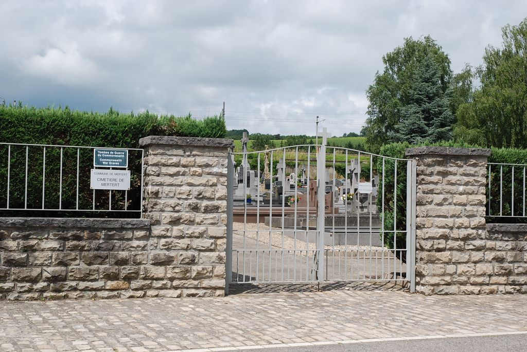
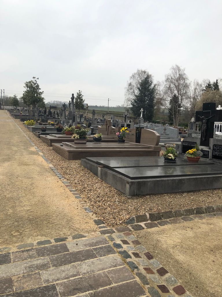
| Description | : | Mertert is a village on the west bank of the river Moselle. It lies 32 kilometres east-north-east of Luxembourg, the capital of the Grand Duchy, on the road to Treves (Germany). The cemetery is in the north-eastern outskirts of the village in the Rue Basse, the lower (river) road to Wasserbillig. The Commonwealth burials are in the south-east part of the cemetery. GPS Co-ordinates: Longitude 06°29'08", Latitude 49°42'09" Historical Information: Merteret Communal Cemetery contains the graves of two airmen of the Second World War. In 1926 about a hundred White émigré families, mostly former officers, came over Bulgaria to Luxembourg... Read More |
frequently asked questions (FAQ):
-
Where is Mertert Communal Cemetery?
Mertert Communal Cemetery is located at Mertert, Canton de Grevenmacher ,Grevenmacher ,Luxembourg.
-
Mertert Communal Cemetery cemetery's updated grave count on graveviews.com?
0 memorials
-
Where are the coordinates of the Mertert Communal Cemetery?
Latitude: 49.7030700
Longitude: 6.4858900
Nearby Cemetories:
1. Temmels Cemetery
Temmels, Landkreis Trier-Saarburg, Germany
Coordinate: 49.6833300, 6.4666700
2. Friedhof Igel
Igel, Landkreis Trier-Saarburg, Germany
Coordinate: 49.7099790, 6.5498247
3. Friedhof Konz-Könen
Konz, Landkreis Trier-Saarburg, Germany
Coordinate: 49.6790267, 6.5581043
4. Friedhof Konz
Konz, Landkreis Trier-Saarburg, Germany
Coordinate: 49.6943269, 6.5731801
5. Friedhof Kommlingen
Kommlingen, Landkreis Trier-Saarburg, Germany
Coordinate: 49.6809407, 6.6090089
6. Friedhof Euren
Euren, Stadtkreis Trier, Germany
Coordinate: 49.7385172, 6.6060628
7. Friedhof Oberemmel
Oberemmel, Landkreis Trier-Saarburg, Germany
Coordinate: 49.6648958, 6.6278963
8. Benediktinerabtei St. Matthias
Trier, Stadtkreis Trier, Germany
Coordinate: 49.7381990, 6.6323590
9. Friedhof Krettnach
Krettnach, Landkreis Trier-Saarburg, Germany
Coordinate: 49.6809506, 6.6417204
10. Friedhof Saarburg
Landkreis Trier-Saarburg, Germany
Coordinate: 49.6055160, 6.5472080
11. Friedhof Saarburg
Saarburg, Landkreis Trier-Saarburg, Germany
Coordinate: 49.6052699, 6.5472953
12. Wormeldange-Haut Cemetery
Wormeldange, Canton de Grevenmacher, Luxembourg
Coordinate: 49.6092890, 6.4005640
13. Wormeldange Cemetery
Wormeldange, Canton de Grevenmacher, Luxembourg
Coordinate: 49.6092810, 6.4005140
14. Hohe Domkirche St. Peter zu Trier
Trier, Stadtkreis Trier, Germany
Coordinate: 49.7561110, 6.6430560
15. Gostingen Cemetery
Gostingen, Canton de Grevenmacher, Luxembourg
Coordinate: 49.6228330, 6.3551590
16. Cimetiere d'Echternach
Echternach, Canton d'Echternach, Luxembourg
Coordinate: 49.8117738, 6.4148465
17. Ehnen Cemetery
Ehnen, Canton de Grevenmacher, Luxembourg
Coordinate: 49.6040420, 6.3864750
18. Saint Willibrord's Basilica
Echternach, Canton d'Echternach, Luxembourg
Coordinate: 49.8138890, 6.4225000
19. Friedhof Olewig
Olewig, Stadtkreis Trier, Germany
Coordinate: 49.7425513, 6.6621206
20. Friedhof Irsch
Irsch, Landkreis Trier-Saarburg, Germany
Coordinate: 49.6026445, 6.5926681
21. Friedhof Pellingen
Pellingen, Landkreis Trier-Saarburg, Germany
Coordinate: 49.6769496, 6.6733180
22. Hauptfriedhof
Trier, Stadtkreis Trier, Germany
Coordinate: 49.7665490, 6.6543280
23. Friedhof Trassem
Trassem, Landkreis Trier-Saarburg, Germany
Coordinate: 49.5748940, 6.5232660
24. Alter Irscher Friedhof
Trier, Stadtkreis Trier, Germany
Coordinate: 49.7243238, 6.6993536


