
| Memorials | : | 0 |
| Location | : | Carbon County, USA |
| Coordinate | : | 40.9721000, -75.7595000 |
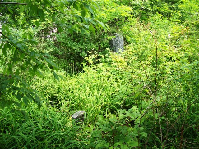
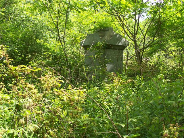
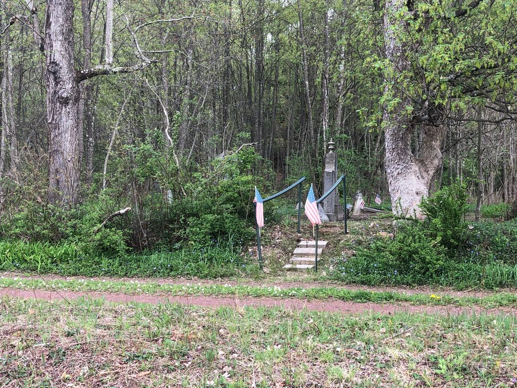
| Description | : | Cemetery is located near Rockport on Laureytown Road between Weatherly and White Haven, Pennsylvania. |
frequently asked questions (FAQ):
-
Where is Methodist Episcopal Cemetery?
Methodist Episcopal Cemetery is located at Carbon County ,Pennsylvania ,USA.
-
Methodist Episcopal Cemetery cemetery's updated grave count on graveviews.com?
0 memorials
-
Where are the coordinates of the Methodist Episcopal Cemetery?
Latitude: 40.9721000
Longitude: -75.7595000
Nearby Cemetories:
1. Saint Joseph's Roman Catholic Church Cemetery
Weatherly, Carbon County, USA
Coordinate: 40.9780000, -75.7741000
2. Laurytown Road Cemetery
Weatherly, Carbon County, USA
Coordinate: 40.9857300, -75.7460760
3. Union Cemetery
Weatherly, Carbon County, USA
Coordinate: 40.9430008, -75.8254013
4. Saint Nicholas Cemetery
Weatherly, Carbon County, USA
Coordinate: 40.9433363, -75.8361885
5. Hickory Run Cemetery
Albrightsville, Carbon County, USA
Coordinate: 41.0253540, -75.7088070
6. Saints Cyril and Methodius Postupack Cemetery
Weatherly, Carbon County, USA
Coordinate: 40.9290600, -75.8467700
7. Eckley Cemetery
Eckley, Luzerne County, USA
Coordinate: 40.9888820, -75.8630500
8. Christ Lutheran Church Cemetery
Christmans, Carbon County, USA
Coordinate: 40.9522000, -75.6532000
9. Jim Thorpe Memorial
Jim Thorpe, Carbon County, USA
Coordinate: 40.8846550, -75.7254870
10. Evergreen Cemetery
Jim Thorpe, Carbon County, USA
Coordinate: 40.8800011, -75.7391968
11. Saint Joseph's Catholic Cemetery
Jim Thorpe, Carbon County, USA
Coordinate: 40.8797200, -75.7367860
12. Immaculate Conception Cemetery
Jim Thorpe, Carbon County, USA
Coordinate: 40.8767014, -75.7427979
13. Saint Johns Orthodox Cemetery
Nesquehoning, Carbon County, USA
Coordinate: 40.8698000, -75.7798000
14. Saints Cyril and Methodius Parish Cemetery
Nesquehoning, Carbon County, USA
Coordinate: 40.8693000, -75.7832000
15. Saint Mary's Byzantine Catholic Church Cemetery
Nesquehoning, Carbon County, USA
Coordinate: 40.8688370, -75.7879370
16. Saint John's Memorial Prayer Garden
Jim Thorpe, Carbon County, USA
Coordinate: 40.8661380, -75.7427770
17. Mauch Chunk Cemetery
Jim Thorpe, Carbon County, USA
Coordinate: 40.8658000, -75.7404000
18. Gates of Heaven Cemetery
Nesquehoning, Carbon County, USA
Coordinate: 40.8708000, -75.8099976
19. Sacred Heart Cemetery
Nesquehoning, Carbon County, USA
Coordinate: 40.8651190, -75.8040360
20. Protestant Cemetery
Nesquehoning, Carbon County, USA
Coordinate: 40.8649000, -75.8052000
21. Saint Lukes Evangelical Lutheran Church Columbarium
Freeland, Luzerne County, USA
Coordinate: 41.0176080, -75.8960190
22. Freeland Cemetery
Freeland, Luzerne County, USA
Coordinate: 41.0212000, -75.8949000
23. Saint James Episcopal Churchyard
Drifton, Luzerne County, USA
Coordinate: 41.0014880, -75.9062660
24. Saint Ann's Parish Cemetery
Freeland, Luzerne County, USA
Coordinate: 41.0097008, -75.9067001