
| Memorials | : | 2 |
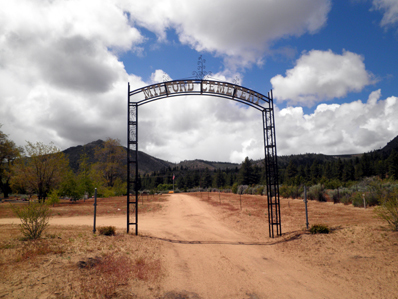
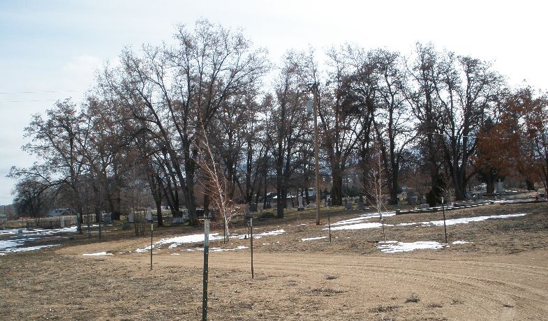
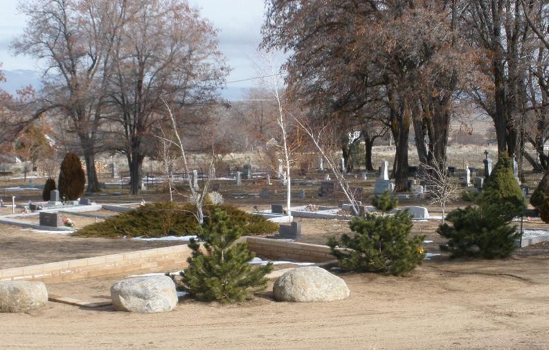
| Location | : | Milford, Lassen County, USA |
| Coordinate | : | 40.1712500, -120.3758500 |
| Description | : | The town of Milford is located approximately 25 miles southwest of Susanville on the west side of the Honey Lake Valley. |
frequently asked questions (FAQ):
-
Where is Milford Cemetery?
Milford Cemetery is located at Milford, Lassen County ,California ,USA.
-
Milford Cemetery cemetery's updated grave count on graveviews.com?
2 memorials
-
Where are the coordinates of the Milford Cemetery?
Latitude: 40.1712500
Longitude: -120.3758500
Nearby Cemetories:
1. Lake Cemetery
Janesville, Lassen County, USA
Coordinate: 40.2643800, -120.4734500
2. Janesville Cemetery
Janesville, Lassen County, USA
Coordinate: 40.3025017, -120.5255966
3. Amedee Cemetery
Susanville, Lassen County, USA
Coordinate: 40.3035650, -120.1923480
4. Standish Cemetery
Standish, Lassen County, USA
Coordinate: 40.3615200, -120.4180900
5. McKissick Family Cemetery
Susanville, Lassen County, USA
Coordinate: 40.3768100, -120.5503100
6. Long Valley Cemetery
Doyle, Lassen County, USA
Coordinate: 40.0268400, -120.1087300
7. Diamond Crest Cemetery
Johnstonville, Lassen County, USA
Coordinate: 40.3755989, -120.5868988
8. Davis Family Cemetery
Genesee, Plumas County, USA
Coordinate: 40.0648010, -120.6877290
9. Wetajam
Susanville, Lassen County, USA
Coordinate: 40.3502700, -120.6292600
10. Honey Lake Cemetery
Lassen County, USA
Coordinate: 40.2228012, -120.0363998
11. Wilderness Burial Ground
Honey Lake Valley, Lassen County, USA
Coordinate: 40.3508930, -120.6398310
12. Lassen Cemetery
Susanville, Lassen County, USA
Coordinate: 40.4249992, -120.6500015
13. Susanville Cemetery
Susanville, Lassen County, USA
Coordinate: 40.4157982, -120.6641998
14. Shims Flat Indian Burial Ground
Taylorsville, Plumas County, USA
Coordinate: 40.0499992, -120.7780991
15. Indian Cemetery
Susanville, Lassen County, USA
Coordinate: 40.4291992, -120.6583023
16. Whispering Pines Cemetery
Beckworth, Plumas County, USA
Coordinate: 39.8252983, -120.4180984
17. Taylorsville Indian Burial Grounds
Taylorsville, Plumas County, USA
Coordinate: 40.0748050, -120.8359420
18. Taylorsville District Cemetery
Taylorsville, Plumas County, USA
Coordinate: 40.0740820, -120.8367200
19. Flanigan Cemetery
Flanigan, Washoe County, USA
Coordinate: 40.1717600, -119.8933800
20. Shady Grove Cemetery
Portola, Plumas County, USA
Coordinate: 39.8072014, -120.4593964
21. North Valley Indian Burial Grounds
Greenville, Plumas County, USA
Coordinate: 40.1455200, -120.8695700
22. Gorbet Ranch Cemetery
Greenville, Plumas County, USA
Coordinate: 40.1179100, -120.8909300
23. Cromberg Cemetery
Cromberg, Plumas County, USA
Coordinate: 39.8535995, -120.6947021
24. Vinton Cemetery
Vinton, Plumas County, USA
Coordinate: 39.8011017, -120.1592026