
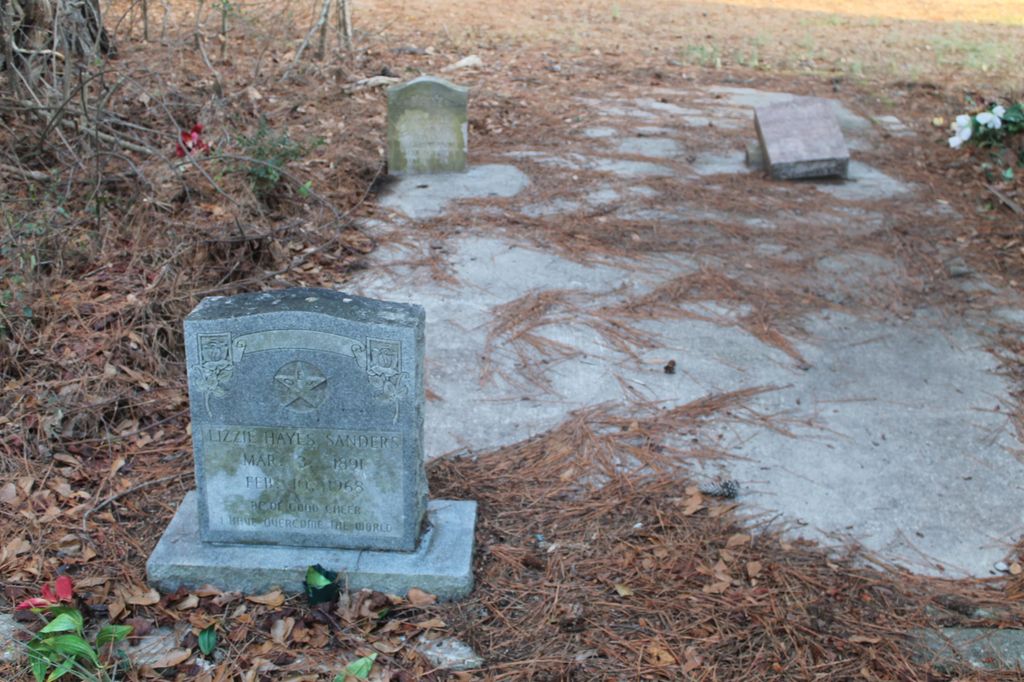
| Memorials | : | 0 |
| Location | : | Oak Grove, Dillon County, USA |
| Coordinate | : | 34.3407160, -79.5315500 |
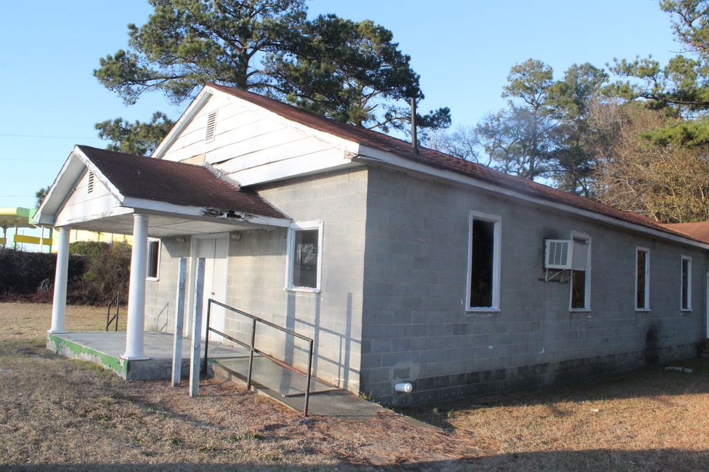
| Description | : | Located right across the road from the Flying J Travel Plaza. |
frequently asked questions (FAQ):
-
Where is Mill Branch Baptist Church Cemetery?
Mill Branch Baptist Church Cemetery is located at Highway 38 Oak Grove, Dillon County ,South Carolina ,USA.
-
Mill Branch Baptist Church Cemetery cemetery's updated grave count on graveviews.com?
0 memorials
-
Where are the coordinates of the Mill Branch Baptist Church Cemetery?
Latitude: 34.3407160
Longitude: -79.5315500

Nearby Cemetories:
1. Little Bless Holiness Church Cemetery
Oak Grove, Dillon County, USA
Coordinate: 34.3515930, -79.5420761
2. Bethesda Southern Methodist Church Cemetery
Oak Grove, Dillon County, USA
Coordinate: 34.3520279, -79.5437164
3. Shiloh Chapel Cemetery
Oak Grove, Dillon County, USA
Coordinate: 34.3574140, -79.5474310
4. Tart Cemetery
Dillon County, USA
Coordinate: 34.3537000, -79.5582000
5. Oak Grove Church of God Cemetery
Oak Grove, Dillon County, USA
Coordinate: 34.3629760, -79.5539220
6. Union Cemetery
Latta, Dillon County, USA
Coordinate: 34.3167000, -79.5014038
7. Mallory Church Of God
Mallory, Dillon County, USA
Coordinate: 34.3801180, -79.5201940
8. Catfish Creek Baptist Church Cemetery
Latta, Dillon County, USA
Coordinate: 34.3652000, -79.4918976
9. Smith Hayes Cemetery
Latta, Dillon County, USA
Coordinate: 34.3560000, -79.5775000
10. Bethea Cemetery
Dillon County, USA
Coordinate: 34.3377991, -79.4732971
11. Trinity Holiness Church Cemetery
Latta, Dillon County, USA
Coordinate: 34.3646049, -79.4764709
12. Timothy Rogers Cemetery
Dillon County, USA
Coordinate: 34.4008000, -79.5516000
13. Cain Cemetery
Mallory, Dillon County, USA
Coordinate: 34.4009960, -79.5519800
14. Mace Cemetery
Dillon County, USA
Coordinate: 34.2924995, -79.4803009
15. Haselden Cemetery
Dillon County, USA
Coordinate: 34.2743800, -79.5234000
16. Lane Cemetery
Latta, Dillon County, USA
Coordinate: 34.3292007, -79.4514008
17. Bethea Cemetery
Latta, Dillon County, USA
Coordinate: 34.3851000, -79.4678500
18. East Marlboro Baptist Church Cemetery
Brownsville, Marlboro County, USA
Coordinate: 34.3889430, -79.5913500
19. McDowell Memorial Cemetery
Marlboro County, USA
Coordinate: 34.3956800, -79.5823200
20. Sweat Cemetery
Dillon County, USA
Coordinate: 34.3181000, -79.4499969
21. Sweat Cemetery
Latta, Dillon County, USA
Coordinate: 34.3178800, -79.4489400
22. Piney Grove Holiness Church Cemetery
Latta, Dillon County, USA
Coordinate: 34.3079500, -79.4523310
23. Bethlehem Methodist Cemetery
Brownsville, Marlboro County, USA
Coordinate: 34.3910500, -79.5981090
24. Bethel Hill Cemetery
Latta, Dillon County, USA
Coordinate: 34.3741989, -79.4471970