
| Memorials | : | 0 |
| Location | : | Bureau, Bureau County, USA |
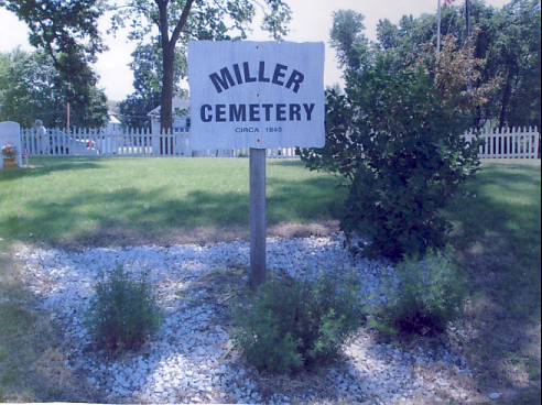
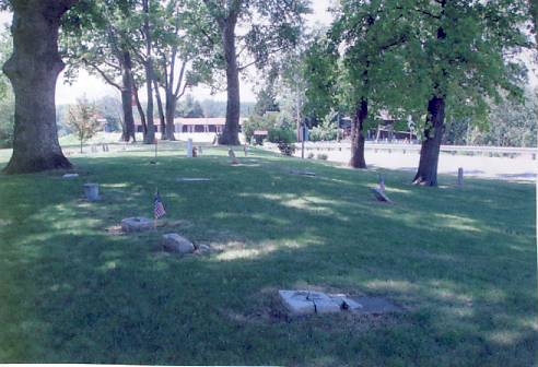
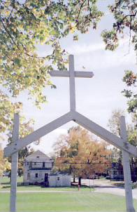
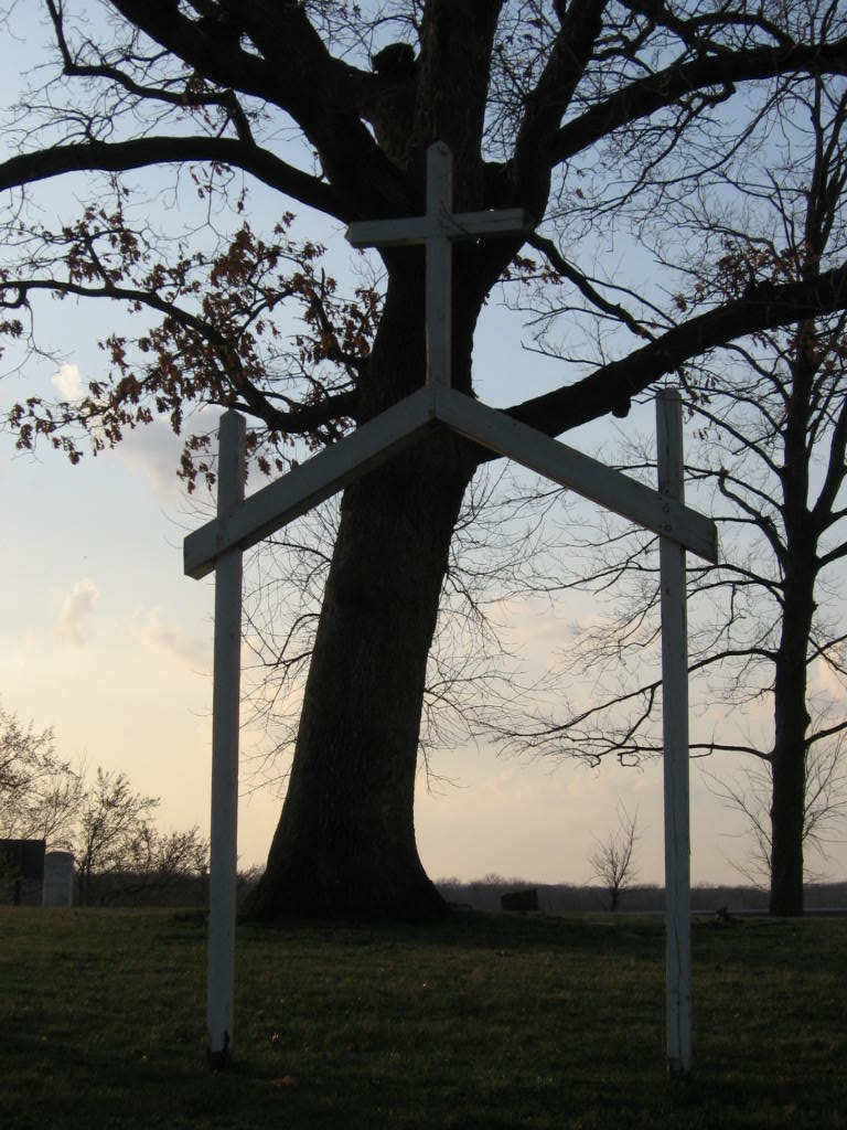
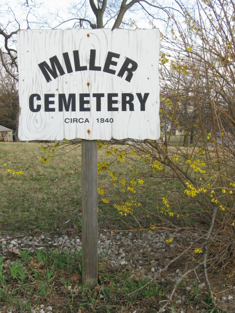
| Description | : | NOT TO BE CONFUSED WITH MILLER CEMETERY IN SPRING VALLEY, BUREAU CO., IL!! The land belonged to David Searl Miller and was used for burial purposes from about 1840 to 1894. There were as many as 100 graves. When highway 29 was being constructed in 1918, flat gravestones were used as a flooring for the cook's tent. The cemetery was literally pushed back to it's present position and in the process many graves lost. In 1959 the cemetery was used as a sheep pasture. The cemetery was rededicated after a clean-up project in May 2000. |
frequently asked questions (FAQ):
-
Where is Miller Cemetery?
Miller Cemetery is located at Bureau, Bureau County, USA.
-
Miller Cemetery cemetery's updated grave count on graveviews.com?
0 memorials
Nearby Cemetories:
1. Albrecht Family Cemetery
Bureau County, USA
Coordinate: 41.2924995, -89.8178024
2. Anderson-Jonasson Family Cemetery
Bureau County, USA
3. Calvary Cemetery
Arlington, Bureau County, USA
Coordinate: 41.5725870, -89.8502200
4. Lost Grove Cemetery
Arlington, Bureau County, USA
Coordinate: 41.4081001, -89.2621994
5. Dover Cemetery
Dover, Bureau County, USA
Coordinate: 41.4233017, -89.2185974
6. Pioneer Cemetery
Dover, Bureau County, USA
Coordinate: 41.1958360, -89.5196490
7. Prairie Repose Cemetery
Dover, Bureau County, USA
8. Brush Creek Cemetery
Hollowayville, Bureau County, USA
9. German Evangelical Cemetery
Hollowayville, Bureau County, USA
Coordinate: 41.5102997, -89.2746964
10. Hollowayville United Church of Christ Cemetery
Hollowayville, Bureau County, USA
Coordinate: 41.5287080, -89.2772730
11. Saint John Evangelical Lutheran Church Cemetery
Hollowayville, Bureau County, USA
Coordinate: 41.5532990, -89.2469025
12. Floral Hill Cemetery
Neponset, Bureau County, USA
Coordinate: 41.5849070, -89.2103790
13. Neponset Cemetery
Neponset, Bureau County, USA
Coordinate: 41.2924995, -89.8178024
14. Thomas Cemetery
Thomas, Bureau County, USA
15. Yorktown Cemetery
Yorktown, Bureau County, USA
Coordinate: 41.5725870, -89.8502200
16. Berean Cemetery
Cherry, Bureau County, USA
Coordinate: 41.4081001, -89.2621994
17. Miners Memorial Cemetery
Cherry, Bureau County, USA
Coordinate: 41.4233017, -89.2185974
18. Hunter Cemetery
Bureau County, USA
Coordinate: 41.1958360, -89.5196490
19. Kennedy Family Cemetery
Bureau County, USA
20. Knox Cemetery
Bureau County, USA
21. Cyrus Hills Cemetery
La Moille, Bureau County, USA
Coordinate: 41.5102997, -89.2746964
22. Greenfield Cemetery
La Moille, Bureau County, USA
Coordinate: 41.5287080, -89.2772730
23. Hetzler Cemetery
La Moille, Bureau County, USA
Coordinate: 41.5532990, -89.2469025
24. Saint Pauls Evangelical Church Cemetery
La Moille, Bureau County, USA
Coordinate: 41.5849070, -89.2103790