
| Memorials | : | 0 |
| Location | : | Millersburg, Holmes County, USA |
| Coordinate | : | 40.5508080, -81.9171400 |
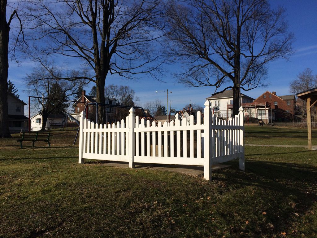
| Description | : | Head south out of downtown Millersburg on Clay Street on any given day, especially sunny ones after school or during summer, and you’re likely to see activity at the Clay Street Park just south of the Faith Lutheran Church. There’s normally a few teenagers playing basketball there or some kids hanging out on the swings. Every once in a while, a church group will gather to host a party for anyone who happens by, offering free pizza or grilled hot dogs. And, sometimes, you’ll see area youth groups milling around picking up trash. But, no matter the season, day or time,... Read More |
frequently asked questions (FAQ):
-
Where is Millersburg City Park Cemetery?
Millersburg City Park Cemetery is located at S Clay Street / Amish Country Byway (US 62) Millersburg, Holmes County ,Ohio , 44654USA.
-
Millersburg City Park Cemetery cemetery's updated grave count on graveviews.com?
0 memorials
-
Where are the coordinates of the Millersburg City Park Cemetery?
Latitude: 40.5508080
Longitude: -81.9171400
Nearby Cemetories:
1. Oak Hill Cemetery
Millersburg, Holmes County, USA
Coordinate: 40.5517980, -81.9103720
2. Roman Raber Farm Cemetery
Millersburg, Holmes County, USA
Coordinate: 40.5658900, -81.9102400
3. Uhl Family Cemetery
Millersburg, Holmes County, USA
Coordinate: 40.5304260, -81.9338940
4. Old Crawford Cemetery
Holmesville, Holmes County, USA
Coordinate: 40.5902280, -81.9299470
5. Ira Kline Farm Cemetery
Benton, Holmes County, USA
Coordinate: 40.5727290, -81.8616310
6. Gindlesberger Cemetery
Millersburg, Holmes County, USA
Coordinate: 40.5884900, -81.8780600
7. Anna Miller Farm Cemetery
Millersburg, Holmes County, USA
Coordinate: 40.5883660, -81.9591550
8. Baker Ridge Cemetery
Killbuck, Holmes County, USA
Coordinate: 40.5164250, -81.9644700
9. Henry Hershberger Farm Cemetery
Saltillo, Holmes County, USA
Coordinate: 40.5399450, -81.8505690
10. Gray Ridge Community Fellowship Church Cemetery
Millersburg, Holmes County, USA
Coordinate: 40.5009600, -81.8956630
11. Jonas W Miller Farm Cemetery
Benton, Holmes County, USA
Coordinate: 40.5840640, -81.8588500
12. Moses Coblentz Farm Cemetery
Millersburg, Holmes County, USA
Coordinate: 40.5535590, -81.8435420
13. Monroe Lutheran Cemetery
Millersburg, Holmes County, USA
Coordinate: 40.5484070, -81.9929190
14. Abraham Mast Cemetery
Berlin, Holmes County, USA
Coordinate: 40.5907570, -81.8611370
15. Christy Chapel Cemetery
Holmes County, USA
Coordinate: 40.5423200, -81.9936100
16. Ivan D Troyer Farm Cemetery
Saltillo, Holmes County, USA
Coordinate: 40.5257790, -81.8461930
17. Martins Creek Mennonite Church Cemetery
Holmes County, USA
Coordinate: 40.5730705, -81.8411255
18. Holmes County Home Cemetery
Holmesville, Holmes County, USA
Coordinate: 40.6127370, -81.9152900
19. Pleasant Grove Cemetery
Killbuck, Holmes County, USA
Coordinate: 40.4933900, -81.9495843
20. Samuel Hershberger Cemetery
Mount Hope, Holmes County, USA
Coordinate: 40.5959130, -81.8576400
21. Levi Hochstetler Farm Cemetery
Benton, Holmes County, USA
Coordinate: 40.5850182, -81.8442154
22. Andy D Miller Farm Cemetery
Berlin, Holmes County, USA
Coordinate: 40.5681390, -81.8303030
23. Salem Reformed Cemetery
Saltillo, Holmes County, USA
Coordinate: 40.5133970, -81.8412480
24. Adam H Miller Farm Cemetery
Saltillo, Holmes County, USA
Coordinate: 40.5214640, -81.8332920