
| Memorials | : | 41 |
| Location | : | Prescott, Ogemaw County, USA |
| Coordinate | : | 44.2222760, -84.0355610 |
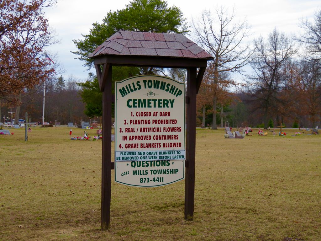
| Description | : | Section 11, off of Elbow Lake Road, north of F20/Mills Road. |
frequently asked questions (FAQ):
-
Where is Mills Township Cemetery?
Mills Township Cemetery is located at Prescott, Ogemaw County ,Michigan ,USA.
-
Mills Township Cemetery cemetery's updated grave count on graveviews.com?
32 memorials
-
Where are the coordinates of the Mills Township Cemetery?
Latitude: 44.2222760
Longitude: -84.0355610

Nearby Cemetories:
1. Churchill Township Cemetery
Selkirk, Ogemaw County, USA
Coordinate: 44.3132700, -84.0642930
2. Richland Township Cemetery
Prescott, Ogemaw County, USA
Coordinate: 44.1758003, -83.8874969
3. Campbell Hills Cemetery
West Branch Township, Ogemaw County, USA
Coordinate: 44.3086014, -84.1464005
4. Logan Township Cemetery
Logan Township, Ogemaw County, USA
Coordinate: 44.3139000, -83.9244003
5. Alger Cemetery
Moffatt Township, Arenac County, USA
Coordinate: 44.1152992, -84.1177979
6. Clayton Cemetery
Melita, Arenac County, USA
Coordinate: 44.1161003, -83.9467010
7. Holy Family Catholic Cemetery
West Branch, Ogemaw County, USA
Coordinate: 44.3309320, -84.1469910
8. Burleigh Cemetery
Whittemore, Iosco County, USA
Coordinate: 44.2019005, -83.8427963
9. Brookside Cemetery
West Branch, Ogemaw County, USA
Coordinate: 44.2750015, -84.2260971
10. Bourret Township Cemetery
Bourret Township, Gladwin County, USA
Coordinate: 44.1543999, -84.2197037
11. Saint Josephs Cemetery
West Branch, Ogemaw County, USA
Coordinate: 44.2719500, -84.2316200
12. Cedar Valley Cemetery
Twining, Arenac County, USA
Coordinate: 44.1411018, -83.8563995
13. Amish Cemetery
Edwards, Ogemaw County, USA
Coordinate: 44.2334130, -84.2565800
14. Plains Cemetery (Defunct)
Omer, Arenac County, USA
Coordinate: 44.0696983, -83.9574966
15. Calvary Baptist Church Cemetery
West Branch, Ogemaw County, USA
Coordinate: 44.2748510, -84.2517260
16. Saint James Catholic Cemetery
Whittemore, Iosco County, USA
Coordinate: 44.2035890, -83.8037320
17. Johnson Creek Cemetery
Whittemore, Iosco County, USA
Coordinate: 44.2047470, -83.8034160
18. Saint Johns Byzantine Cemetery
Sterling, Arenac County, USA
Coordinate: 44.0430110, -84.0281370
19. Sterling Cemetery
Sterling, Arenac County, USA
Coordinate: 44.0407982, -84.0297012
20. Edwards Township Cemetery
West Branch, Ogemaw County, USA
Coordinate: 44.1767006, -84.2827988
21. Reno Cemetery
Whittemore, Iosco County, USA
Coordinate: 44.2627983, -83.7838974
22. Hill Township Cemetery
Lupton, Ogemaw County, USA
Coordinate: 44.3819100, -83.8945200
23. Saint Edwards Catholic Cemetery
Omer, Arenac County, USA
Coordinate: 44.0567200, -83.8752500
24. Evergreen Cemetery
Omer, Arenac County, USA
Coordinate: 44.0560989, -83.8764038