| Memorials | : | 0 |
| Location | : | Statham, Barrow County, USA |
| Coordinate | : | 33.9393430, -83.6081950 |
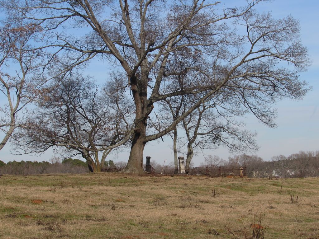
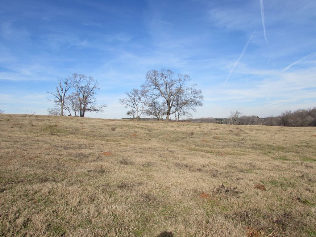
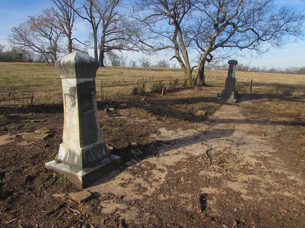
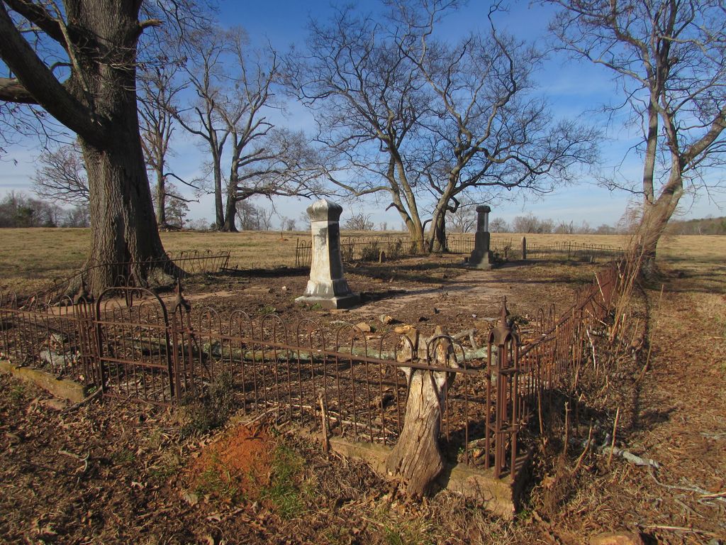
| Description | : | It is 0.94 miles down this dirt road from Doc McLocklin Rd to the gate on the left side of the road. It is then 0.2 miles through that gate to the cemetery, out in the middle of the active cow pasture. At least a dozen small headstones and smaller footstones, almost all broken and scattered around the cemetery, none of them have any visible markings. Part of the small wrought iron fence is down, so it could be due to cows wandering in and not vandalism. |
frequently asked questions (FAQ):
-
Where is Millsaps Cemetery?
Millsaps Cemetery is located at Robertson Bridge Rd Statham, Barrow County ,Georgia , 30666USA.
-
Millsaps Cemetery cemetery's updated grave count on graveviews.com?
0 memorials
-
Where are the coordinates of the Millsaps Cemetery?
Latitude: 33.9393430
Longitude: -83.6081950
Nearby Cemetories:
1. Barbers Creek Baptist Church Cemetery
Statham, Barrow County, USA
Coordinate: 33.9485780, -83.5898790
2. Old Barber's Creek Baptist Church Cemetery
Statham, Barrow County, USA
Coordinate: 33.9475050, -83.5865120
3. Peppers Family Cemetery
Statham, Barrow County, USA
Coordinate: 33.9622002, -83.6025009
4. Ferguson Family Cemetery
Statham, Barrow County, USA
Coordinate: 33.9567750, -83.5820630
5. Midway Christian Church Cemetery
Winder, Barrow County, USA
Coordinate: 33.9420730, -83.6415770
6. John Millsaps Family Cemetery
Statham, Barrow County, USA
Coordinate: 33.9627210, -83.6287960
7. Statham City Cemetery
Statham, Barrow County, USA
Coordinate: 33.9679100, -83.5944270
8. McLocklin Cemetery
Statham, Barrow County, USA
Coordinate: 33.9684570, -83.5938530
9. Delay Family Cemetery
Statham, Barrow County, USA
Coordinate: 33.9545050, -83.5746780
10. Dial Family Cemetery
Statham, Barrow County, USA
Coordinate: 33.9489520, -83.5715120
11. Treadwell Burial Grounds
Barrow County, USA
Coordinate: 33.9178500, -83.6380200
12. Jefferson Smith Family Cemetery
Barrow County, USA
Coordinate: 33.9421810, -83.6579870
13. Pleasant Hill Presbyterian Church Cemetery
Statham, Barrow County, USA
Coordinate: 33.9825100, -83.6178700
14. Clack Family Cemetery
Winder, Barrow County, USA
Coordinate: 33.9347350, -83.6641060
15. Jackson Park Cemetery
Winder, Barrow County, USA
Coordinate: 33.9265560, -83.6628400
16. Cosby-Hardigree Family Cemetery
Winder, Barrow County, USA
Coordinate: 33.9784480, -83.6424970
17. Smith Chapel Baptist Church Cemetery
Bethlehem, Barrow County, USA
Coordinate: 33.9093400, -83.6542000
18. David Smith Family Cemetery
Russell, Barrow County, USA
Coordinate: 33.9603004, -83.6639023
19. Greater Barber Creek Missionary Baptist Church Cem
Statham, Barrow County, USA
Coordinate: 33.9787480, -83.5618960
20. Bethlehem AME Zion Church Cemetery
Bethlehem, Barrow County, USA
Coordinate: 33.9453890, -83.6838110
21. Grady Segars Family Cemetery
Winder, Barrow County, USA
Coordinate: 33.9960000, -83.6478300
22. Providence Methodist Church Cemetery
Barrow County, USA
Coordinate: 33.9855280, -83.5518770
23. Andrew Wages Family Cemetery
Barrow County, USA
Coordinate: 33.9715630, -83.6778480
24. Pentecost United Methodist Church Cemetery
Winder, Barrow County, USA
Coordinate: 33.9966800, -83.6482100


