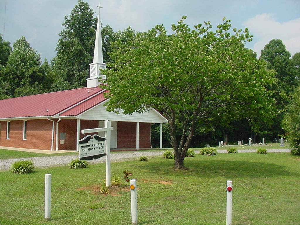
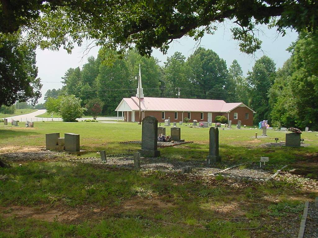
| Memorials | : | 197 |
| Location | : | Cleveland, Rowan County, USA |
| Coordinate | : | 35.8256760, -80.7012787 |
frequently asked questions (FAQ):
-
Where is Moore's Chapel AME Zion Church Cemetery?
Moore's Chapel AME Zion Church Cemetery is located at Cleveland, Rowan County ,North Carolina ,USA.
-
Moore's Chapel AME Zion Church Cemetery cemetery's updated grave count on graveviews.com?
197 memorials
-
Where are the coordinates of the Moore's Chapel AME Zion Church Cemetery?
Latitude: 35.8256760
Longitude: -80.7012787
Nearby Cemetories:
1. Old Providence Presbyterian Church Cemetery
Cleveland, Rowan County, USA
Coordinate: 35.8269440, -80.6905560
2. Rock Hill Church of Christ Cemetery
Cleveland, Rowan County, USA
Coordinate: 35.8175520, -80.6626270
3. New Jerusalem Holiness Cemetery
Cleveland, Rowan County, USA
Coordinate: 35.8170730, -80.6545130
4. South River United Methodist Church Cemetery
Woodleaf, Rowan County, USA
Coordinate: 35.8349400, -80.6538480
5. Fifth Creek Presbyterian Cemetery
Statesville, Iredell County, USA
Coordinate: 35.8298550, -80.7511620
6. Church of Christ at South River Cemetery
Cleveland, Rowan County, USA
Coordinate: 35.8313230, -80.6491700
7. Faith Baptist Church Cemetery
Statesville, Iredell County, USA
Coordinate: 35.8065440, -80.7538357
8. Corinth Church of Christ Cemetery
Rowan County, USA
Coordinate: 35.8101360, -80.6346300
9. Society Baptist Church Cemetery
Statesville, Iredell County, USA
Coordinate: 35.8830280, -80.7069780
10. Countryside Baptist Church Cemetery
Statesville, Iredell County, USA
Coordinate: 35.8541200, -80.7668200
11. Union Chapel Baptist Church Cemetery
Statesville, Iredell County, USA
Coordinate: 35.8019409, -80.7712021
12. Chestnut Grove Baptist Church Cemetery
Statesville, Iredell County, USA
Coordinate: 35.8575600, -80.7676716
13. Third Creek Presbyterian Church Cemetery
Cleveland, Rowan County, USA
Coordinate: 35.7607420, -80.6841160
14. Byerlys Chapel Methodist Church Cemetery
Davie County, USA
Coordinate: 35.8587340, -80.6292060
15. Salem United Methodist Church Cemetery
Mocksville, Davie County, USA
Coordinate: 35.8863480, -80.6654630
16. Turner Family Cemetery
Turnersburg Township, Iredell County, USA
Coordinate: 35.8886367, -80.7347086
17. Turner's Grove A.M.E. Zion Church Cemetery
Davie County, USA
Coordinate: 35.8917800, -80.6787700
18. New Salem United Methodist Church Cemetery
Statesville, Iredell County, USA
Coordinate: 35.8051796, -80.7824936
19. Knox Grove Baptist Church
Cleveland, Rowan County, USA
Coordinate: 35.7557070, -80.7115100
20. New Hope Baptist Church Cemetery
Statesville, Iredell County, USA
Coordinate: 35.8809704, -80.7659020
21. Grace Alliance Fellowship Cemetery
Statesville, Iredell County, USA
Coordinate: 35.8087980, -80.7954830
22. Emanuel Pentecostal Church
Woodleaf, Rowan County, USA
Coordinate: 35.7965180, -80.6037410
23. Abilene Church of Christ Cemetery
Statesville, Iredell County, USA
Coordinate: 35.8052390, -80.8055170
24. Mount Vernon Presbyterian Church
Cleveland, Rowan County, USA
Coordinate: 35.7653590, -80.6231360


