
| Memorials | : | 7 |
| Location | : | Bath, Summit County, USA |
| Coordinate | : | 41.1819000, -81.6658020 |
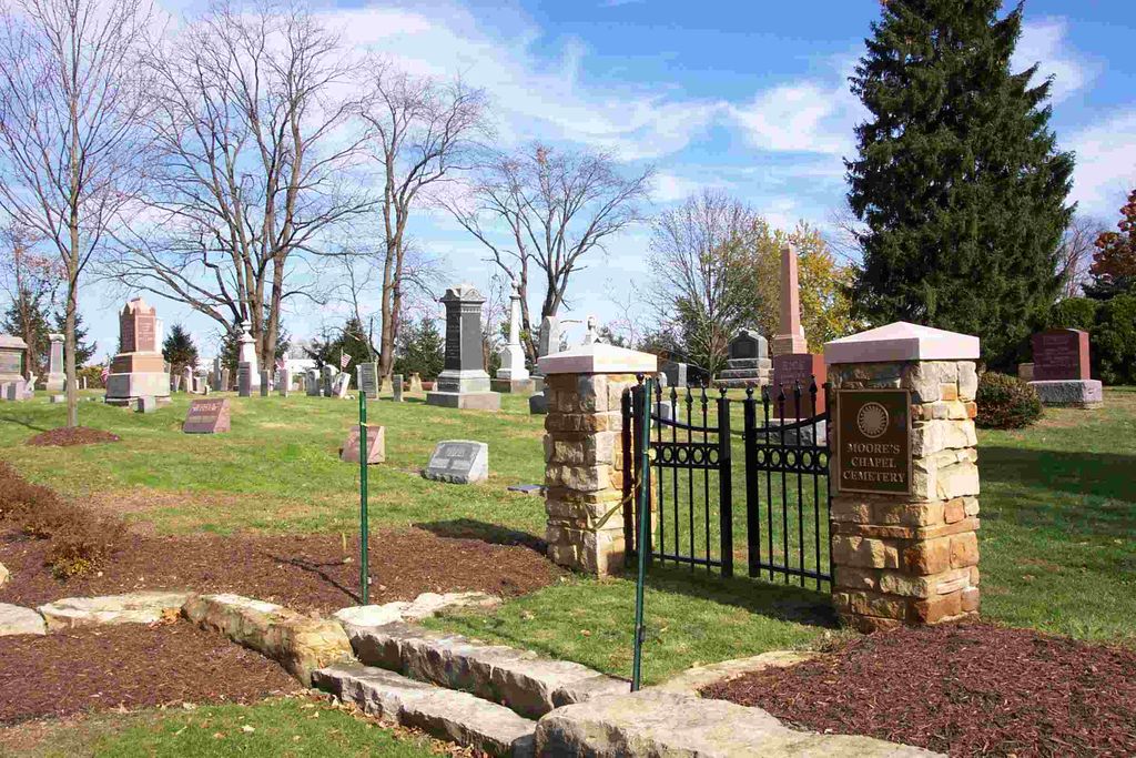
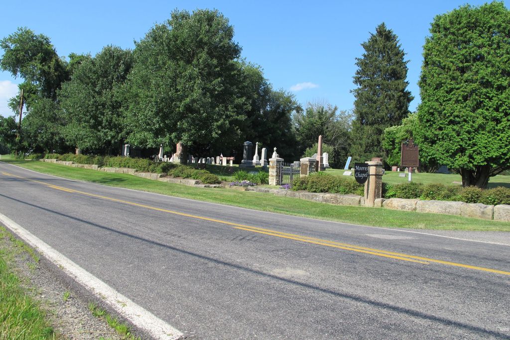
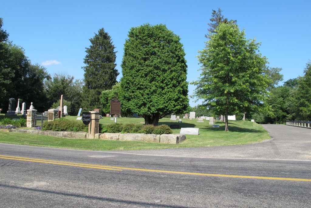
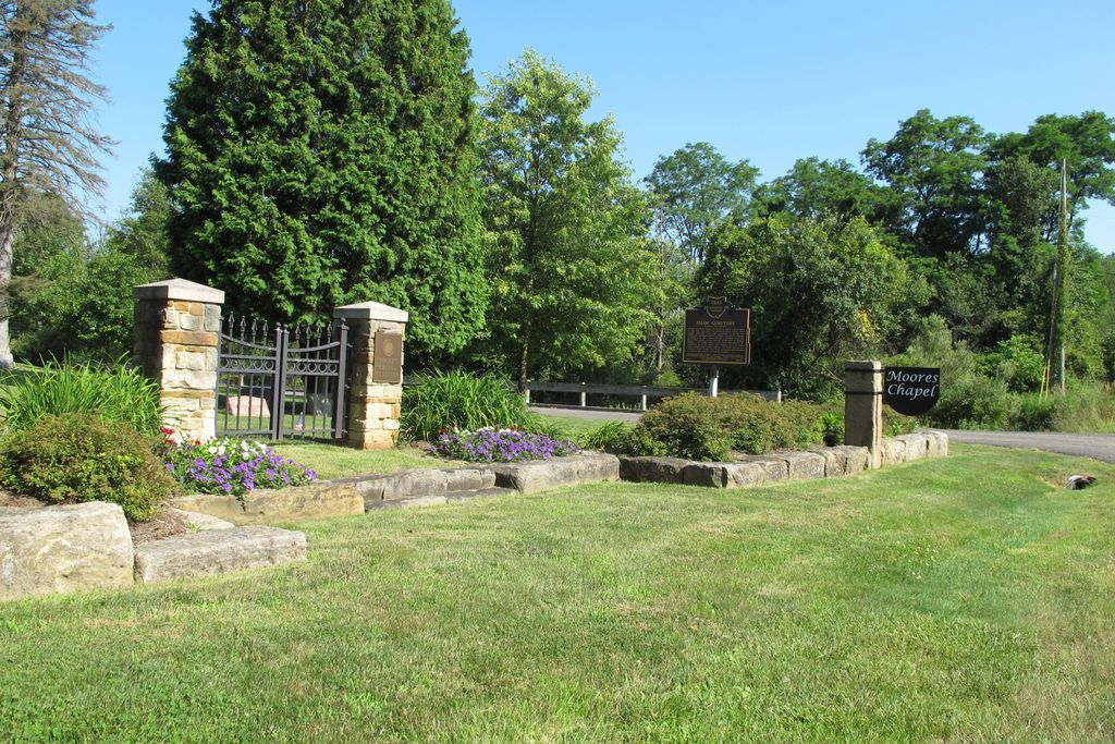
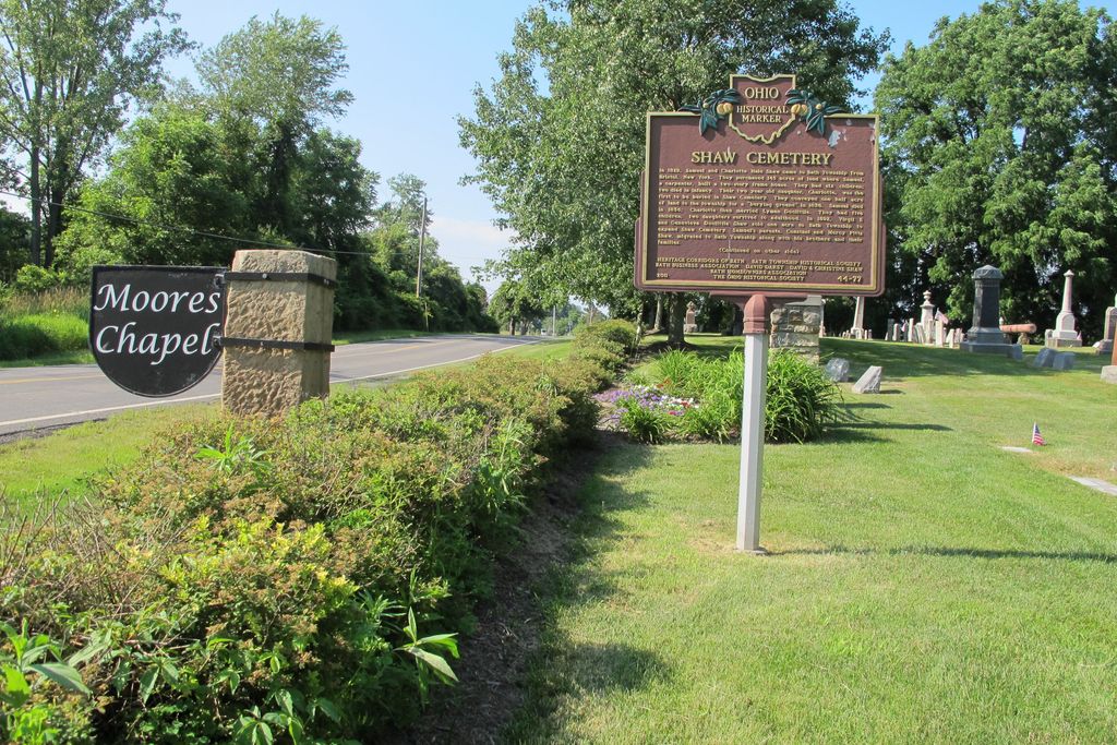
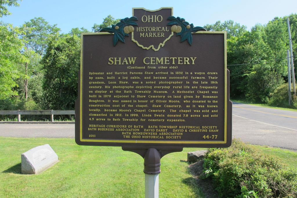
| Description | : | Located on the east side of North Hametown Road, south of Ira Road. The cemetery is located in Bath Township, Summit County, Ohio, and is # 11470 (Moores Chapel Cemetery / Shaws Cemetery / Morris Chapel Cemetery) in “Ohio Cemeteries 1803-2003”, compiled by the Ohio Genealogical Society. The cemetery is registered with the Ohio Division of Real Estate and Professional Licensing (ODRE) as Moore’s Chapel Cemetery with registration license number CGR.0000982261. The U.S. Geological Survey (USGS) Geographic Names Information System (GNIS) feature ID for the cemetery is 1061159 (Morris Chapel Cemetery / Moore’s Chapel Cemetery / Moores Chapel Cemetery / Shaw’s Cemetery). |
frequently asked questions (FAQ):
-
Where is Moore's Chapel Cemetery?
Moore's Chapel Cemetery is located at North Hametown Road Bath, Summit County ,Ohio , 44210USA.
-
Moore's Chapel Cemetery cemetery's updated grave count on graveviews.com?
7 memorials
-
Where are the coordinates of the Moore's Chapel Cemetery?
Latitude: 41.1819000
Longitude: -81.6658020
Nearby Cemetories:
1. Osborn Corners Cemetery
Richfield, Summit County, USA
Coordinate: 41.2023010, -81.6791992
2. Bath Center Cemetery
Bath Center, Summit County, USA
Coordinate: 41.1689987, -81.6359024
3. East Granger Cemetery
Granger, Medina County, USA
Coordinate: 41.1556000, -81.6876000
4. Reid Hill Cemetery
Granger Township, Medina County, USA
Coordinate: 41.1636009, -81.7071991
5. East Bath Cemetery
Bath, Summit County, USA
Coordinate: 41.1753006, -81.6097031
6. Wheatley Cemetery
Richfield, Summit County, USA
Coordinate: 41.2202988, -81.6369019
7. Hershey Cemetery
Richfield, Summit County, USA
Coordinate: 41.2030983, -81.6138992
8. Stony Hill Cemetery
Bath, Summit County, USA
Coordinate: 41.1359406, -81.6780777
9. Coddingville Cemetery
Coddingville, Medina County, USA
Coordinate: 41.1422005, -81.7063980
10. Sylvester Farm Cemetery (Defunct)
Granger, Medina County, USA
Coordinate: 41.1714600, -81.7333000
11. Montrose Cemetery
Copley, Summit County, USA
Coordinate: 41.1334000, -81.6372986
12. Rose Hill Burial Park
Fairlawn, Summit County, USA
Coordinate: 41.1361300, -81.6283600
13. Beach Cemetery
Hinckley, Medina County, USA
Coordinate: 41.2030983, -81.7347031
14. Ira Cemetery
Ira, Summit County, USA
Coordinate: 41.1892014, -81.5919037
15. Ganyard Cemetery
Granger, Medina County, USA
Coordinate: 41.1596985, -81.7391968
16. Granger Fairview Cemetery
Granger, Medina County, USA
Coordinate: 41.1692009, -81.7466965
17. West Richfield Cemetery
Richfield, Summit County, USA
Coordinate: 41.2463989, -81.6594009
18. Fairview Cemetery
Richfield, Summit County, USA
Coordinate: 41.2442017, -81.6406021
19. Chamberlain Cemetery
Everett, Summit County, USA
Coordinate: 41.2047005, -81.5839615
20. Hinckley Ridge Cemetery
Hinckley, Medina County, USA
Coordinate: 41.2400017, -81.7067032
21. Botzum Cemetery
Cuyahoga Falls, Summit County, USA
Coordinate: 41.1618200, -81.5825200
22. Brown Cemetery
Hinckley, Medina County, USA
Coordinate: 41.2302490, -81.7460020
23. Copley Cemetery
Copley, Summit County, USA
Coordinate: 41.0984001, -81.6517029
24. Monastery Marcha Serbian Orthodox Cemetery
Richfield, Summit County, USA
Coordinate: 41.2664520, -81.6723930