
| Memorials | : | 3 |
| Location | : | Currie, Pender County, USA |
| Coordinate | : | 34.4554024, -78.1086273 |
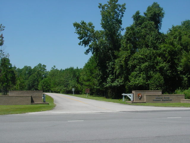
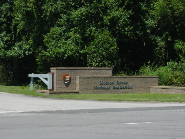
| Description | : | Throughout the park, remnants remain of the 1776 road traveled by patriot and loyalist forces. A .7-mile trail with wayside exhibits leads through the battlefield and across Moores Creek. The historic bridge site is located along the trail. The park offers a visitor center with exhibits, lighted troop movement maps and film; a .3 mile colonial forest trail, and a picnic area. Moores Creek National Military Park, along with other battlefields, was administered by the War Department until 1933 when President Franklin Roosevelt transferred them to the National Park Service within the Department of Interior. |
frequently asked questions (FAQ):
-
Where is Moores Creek National Battlefield?
Moores Creek National Battlefield is located at Currie, Pender County ,North Carolina ,USA.
-
Moores Creek National Battlefield cemetery's updated grave count on graveviews.com?
3 memorials
-
Where are the coordinates of the Moores Creek National Battlefield?
Latitude: 34.4554024
Longitude: -78.1086273
Nearby Cemetories:
1. Faircloth Cemetery
Malpass Corner, Pender County, USA
Coordinate: 34.4622680, -78.1004330
2. Walker Cemetery
Currie, Pender County, USA
Coordinate: 34.4678001, -78.0952988
3. Malpass Cemetery
Currie, Pender County, USA
Coordinate: 34.4364014, -78.1091995
4. Moore Cemetery
Currie, Pender County, USA
Coordinate: 34.4748001, -78.0986099
5. Lewis Cemetery
Currie, Pender County, USA
Coordinate: 34.4672012, -78.0868988
6. Wilton Cemetery
Currie, Pender County, USA
Coordinate: 34.4393997, -78.0860977
7. John Horrell Cemetery
Point Caswell, Pender County, USA
Coordinate: 34.4498138, -78.1380692
8. Bear Branch Baptist Church Cemetery
Currie, Pender County, USA
Coordinate: 34.4310875, -78.0831604
9. Brinson Cemetery
Montague, Pender County, USA
Coordinate: 34.4268990, -78.0896988
10. White Cemetery
Montague, Pender County, USA
Coordinate: 34.4255981, -78.0847015
11. Hollis-Anderson Cemetery
Point Caswell, Pender County, USA
Coordinate: 34.4608002, -78.1521454
12. Nunalee Cemetery
Yamacraw, Pender County, USA
Coordinate: 34.4946365, -78.1095276
13. Porter Cemetery
Yamacraw, Pender County, USA
Coordinate: 34.4943886, -78.1006012
14. Browning Cemetery
Currie, Pender County, USA
Coordinate: 34.4486008, -78.0594025
15. Lamb Cemetery
Pender County, USA
Coordinate: 34.4906006, -78.0808029
16. Long Bluff Cemetery
Long Bluff Landing, Pender County, USA
Coordinate: 34.4199982, -78.1367035
17. Chadwick Cemetery
Currie, Pender County, USA
Coordinate: 34.4986000, -78.1097031
18. Point Caswell Cemetery
Pender County, USA
Coordinate: 34.4706000, -78.1588600
19. Sherman Cemetery
Atkinson, Pender County, USA
Coordinate: 34.4372139, -78.1587982
20. Smith Cemetery
Rocky Point, Pender County, USA
Coordinate: 34.4597015, -78.0539017
21. Point Caswell Baptist Church Cemetery
Atkinson, Pender County, USA
Coordinate: 34.4896507, -78.1470795
22. Montague Cemetery
Montague, Pender County, USA
Coordinate: 34.4407158, -78.0536346
23. Moores Creek Baptist Church Cemetery
Yamacraw, Pender County, USA
Coordinate: 34.5036926, -78.1103897
24. Woodcock-Croom Graveyard
Wards Corner, Pender County, USA
Coordinate: 34.5042229, -78.1141663