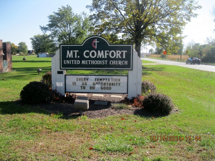
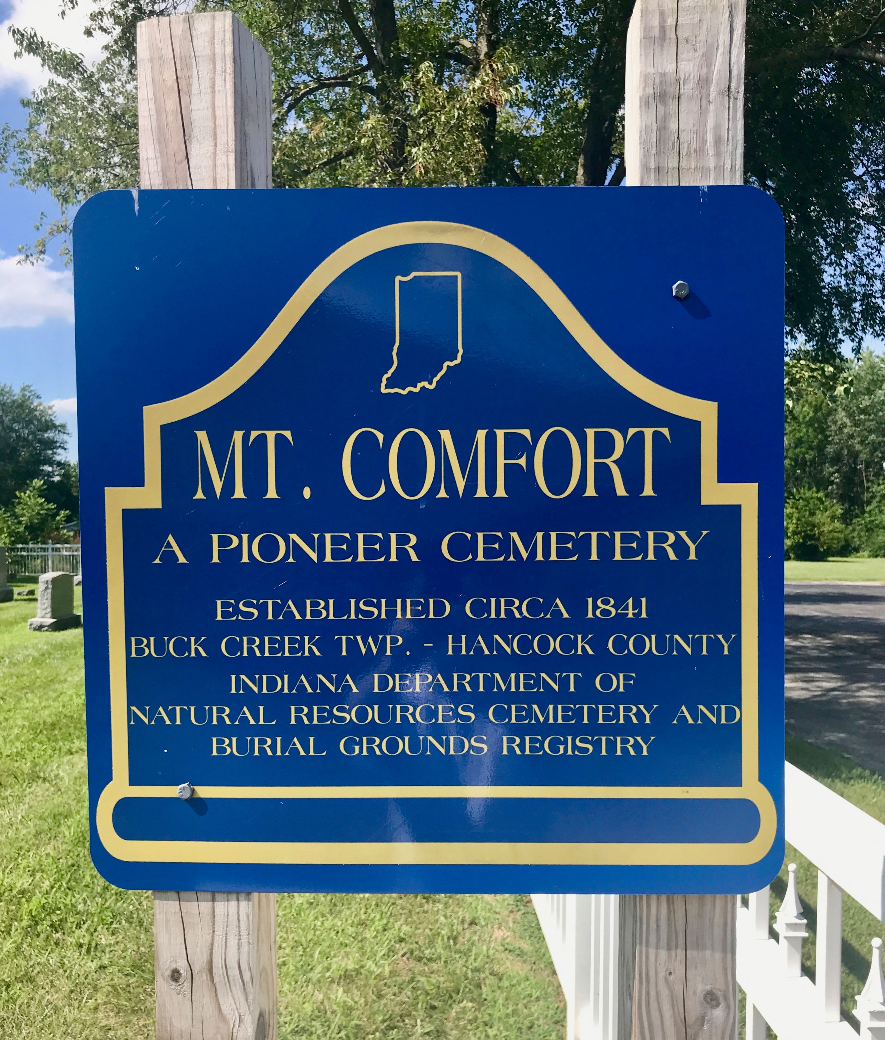
| Memorials | : | 127 |
| Location | : | Mount Comfort, Hancock County, USA |
| Coordinate | : | 39.8297462, -85.9148865 |
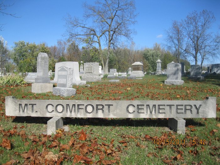
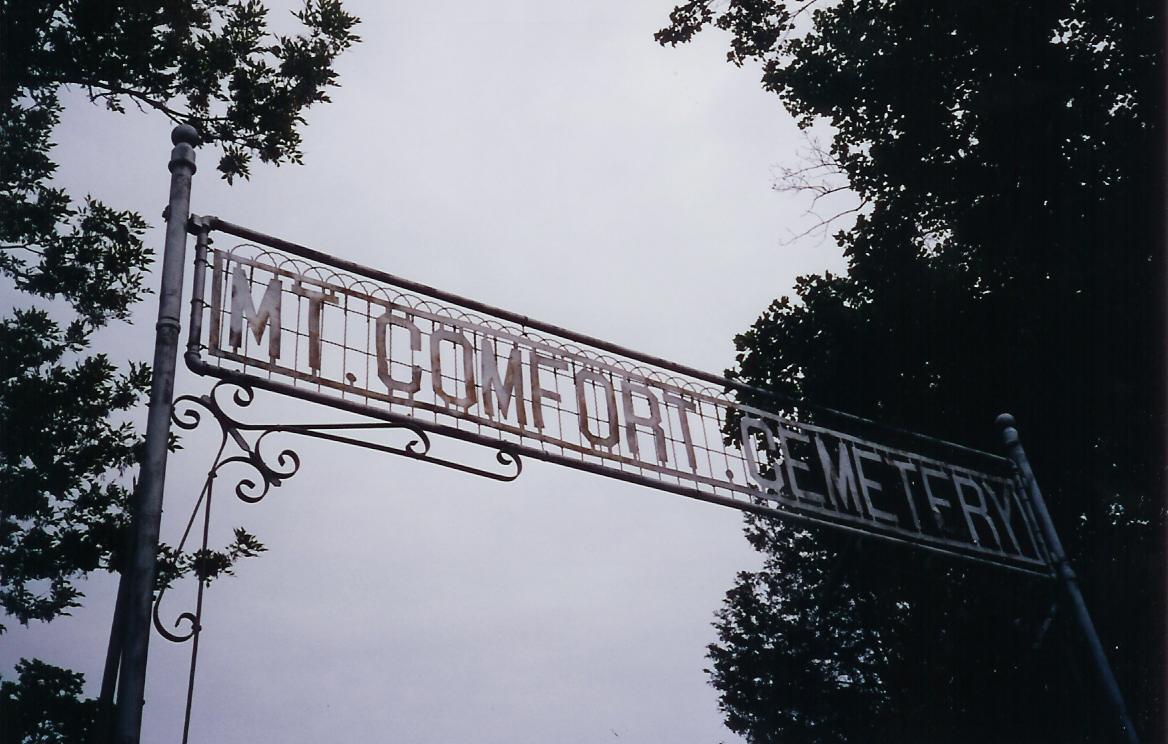
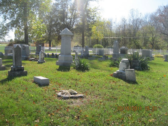
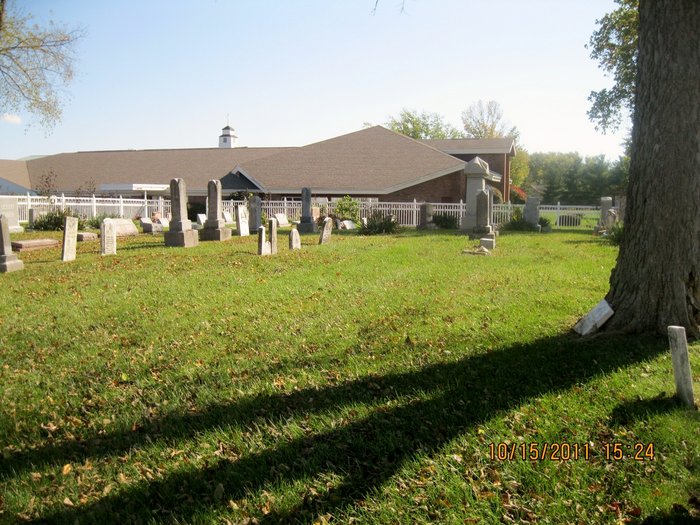
| Description | : | The cemetery is located in Buck Creek Township (NW quadrant of the SW quadrant of the SW quadrant of Section 18 Township 16N Range 6E) on the east side of Mount Comfort Road (N County Road 600 W) about 0.1 miles south of its intersection with Station Way. Indiana Cemetery Locations, Volume 2, published by the Indiana Genealogical Society (01 April 2006), gives the primary cemetery name as Mount Comfort Cemetery with alternate names of Hodges Cemetery and Millard Cemetery. The cemetery is listed in the Cemetery and Burial Grounds Registry of the Indiana Department of Natural Resources... Read More |
frequently asked questions (FAQ):
-
Where is Mount Comfort Cemetery?
Mount Comfort Cemetery is located at Mount Comfort Road (N County Road 600 W) Mount Comfort, Hancock County ,Indiana , 46140USA.
-
Mount Comfort Cemetery cemetery's updated grave count on graveviews.com?
0 memorials
-
Where are the coordinates of the Mount Comfort Cemetery?
Latitude: 39.8297462
Longitude: -85.9148865
Nearby Cemetories:
1. Eastes Cemetery
Mount Comfort, Hancock County, USA
Coordinate: 39.8213660, -85.9065170
2. Arnett Cemetery
Mount Comfort, Hancock County, USA
Coordinate: 39.8273190, -85.8968100
3. Scotten Cemetery
Hancock County, USA
Coordinate: 39.8107986, -85.9266968
4. Burris Cemetery
Mount Comfort, Hancock County, USA
Coordinate: 39.8050003, -85.9197006
5. Dunn Cemetery
Mohawk, Hancock County, USA
Coordinate: 39.8355408, -85.8818893
6. Steele Cemetery
Hancock County, USA
Coordinate: 39.8425370, -85.8848640
7. Snider Cemetery
Hancock County, USA
Coordinate: 39.8072014, -85.9431000
8. Pet Cemetery
Hancock County, USA
Coordinate: 39.7985992, -85.9257965
9. Pleasant Grove Cemetery
Pleasant Acres, Hancock County, USA
Coordinate: 39.8619003, -85.8983002
10. Wesley Chapel Cemetery
Oaklandon, Marion County, USA
Coordinate: 39.8408550, -85.9727920
11. McConnell Cemetery
Indianapolis, Marion County, USA
Coordinate: 39.8471030, -85.9742570
12. Fish Cemetery
Buck Creek Township, Hancock County, USA
Coordinate: 39.7844009, -85.9460983
13. Mock Cemetery
Oaklandon, Marion County, USA
Coordinate: 39.8671989, -85.9661026
14. Denney Corner Cemetery
Fortville, Hancock County, USA
Coordinate: 39.8859000, -85.9218000
15. Hoss Cemetery
Marion County, USA
Coordinate: 39.8608017, -85.9766998
16. McCord Cemetery
Oaklandon, Marion County, USA
Coordinate: 39.8842010, -85.9477997
17. Griffith Cemetery
Hancock County, USA
Coordinate: 39.7952995, -85.8507996
18. McCordsville Cemetery
McCordsville, Hancock County, USA
Coordinate: 39.8919983, -85.9188995
19. Old Oaklandon Cemetery
Oaklandon, Marion County, USA
Coordinate: 39.8849500, -85.9556900
20. Cumberland Cemetery
Cumberland, Marion County, USA
Coordinate: 39.7748566, -85.9582672
21. Saint John United Church of Christ Cemetery
Cumberland, Marion County, USA
Coordinate: 39.7775192, -85.9699097
22. Gillium Chapel Cemetery
McCordsville, Hancock County, USA
Coordinate: 39.8969440, -85.9200280
23. Philadelphia Church Cemetery
Greenfield, Hancock County, USA
Coordinate: 39.7811500, -85.8542100
24. Dye Cemetery
Spring Lake, Hancock County, USA
Coordinate: 39.7778015, -85.8589020

