
| Memorials | : | 2 |
| Location | : | Bedford, Bedford County, USA |
| Phone | : | 434-401-4501 |
| Coordinate | : | 37.4196820, -79.4429850 |
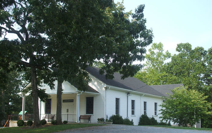
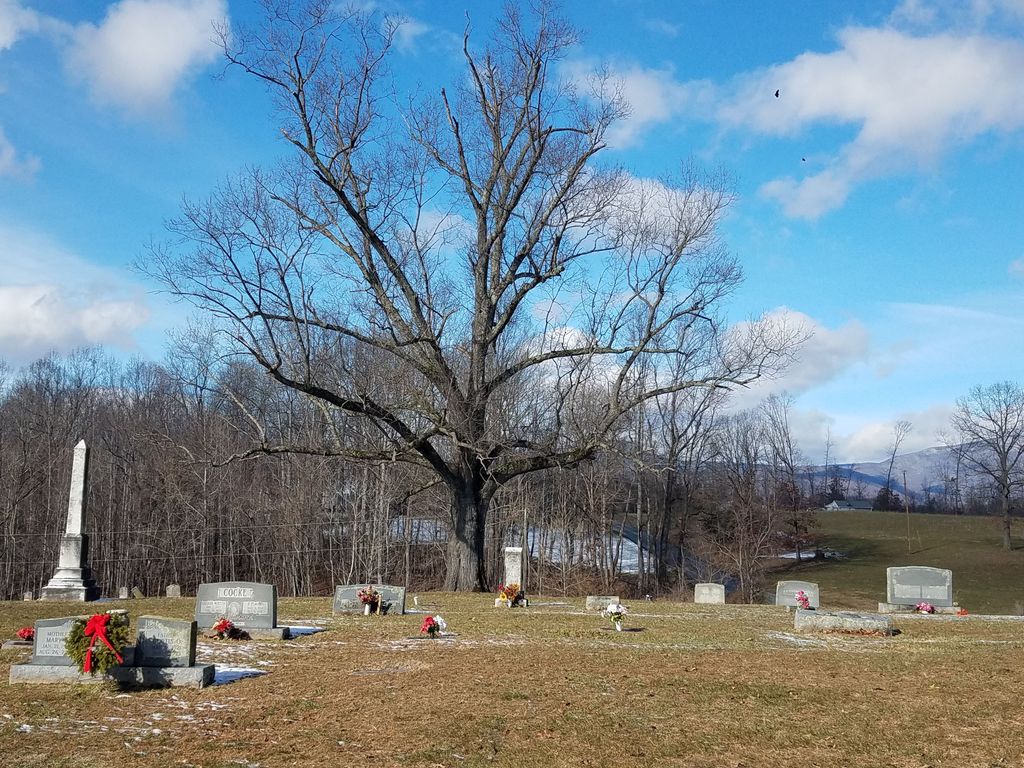
| Description | : | The church was established in 1787 and is located halfway between Otterville and Cifax on Otterville Road (SR643). The cemetery is 700 feet southeast of the church on Otterville Road. Mount Hermon Baptist Church 3805 Otterville Road Bedford, Virginia 24523 |
frequently asked questions (FAQ):
-
Where is Mount Hermon Baptist Church Cemetery?
Mount Hermon Baptist Church Cemetery is located at Otterville Road (Rt. 643) Bedford, Bedford County ,Virginia , 24523USA.
-
Mount Hermon Baptist Church Cemetery cemetery's updated grave count on graveviews.com?
1 memorials
-
Where are the coordinates of the Mount Hermon Baptist Church Cemetery?
Latitude: 37.4196820
Longitude: -79.4429850
Nearby Cemetories:
1. Poplar Springs Baptist Church Cemetery
Goode, Bedford County, USA
Coordinate: 37.4177330, -79.4209400
2. Nazareth Church Cemetery
Bellevue, Bedford County, USA
Coordinate: 37.4070500, -79.4147700
3. Coffee Cemetery
Goode, Bedford County, USA
Coordinate: 37.4057999, -79.4143982
4. Beard Family Cemetery
Goode, Bedford County, USA
Coordinate: 37.3849339, -79.4205552
5. Arrenah Redman Cemetery
Bedford County, USA
Coordinate: 37.4215100, -79.4933900
6. Garland H. Freeman Cemetery
Goode, Bedford County, USA
Coordinate: 37.4380000, -79.3917000
7. Anderson Family Cemetery
Goode, Bedford County, USA
Coordinate: 37.3897000, -79.3904500
8. Mount Rock Baptist Church Cemetery
Goode, Bedford County, USA
Coordinate: 37.4246823, -79.3750462
9. Mount Cifax Cemetery
Bellevue, Bedford County, USA
Coordinate: 37.3842720, -79.3853040
10. Norwood Cemetery
Forest, Bedford County, USA
Coordinate: 37.3924799, -79.3736252
11. Harris Family Cemetery
Forest, Bedford County, USA
Coordinate: 37.3921005, -79.3733642
12. Massie Family Cemetery
Goode, Bedford County, USA
Coordinate: 37.3809720, -79.3793540
13. Ebenezer United Methodist Church Cemetery
Bedford, Bedford County, USA
Coordinate: 37.4764300, -79.4804920
14. Center Point United Methodist Church Cemetery
Bedford, Bedford County, USA
Coordinate: 37.3564980, -79.4592210
15. Old Ebenezer Church Cemetery
Bedford, Bedford County, USA
Coordinate: 37.4764300, -79.4881300
16. Oakland United Methodist Church Cemetery
Goode, Bedford County, USA
Coordinate: 37.3650920, -79.3924227
17. Suck Springs Baptist Church Cemetery
Bedford, Bedford County, USA
Coordinate: 37.4147520, -79.5293380
18. Zachariah Wheat Family Cemetery
Bedford, Bedford County, USA
Coordinate: 37.4713700, -79.5066700
19. Carnefix Family Cemetery
Bedford, Bedford County, USA
Coordinate: 37.4203977, -79.5350320
20. First Baptist Church of Goode Cemetery
Goode, Bedford County, USA
Coordinate: 37.3561429, -79.3905772
21. Mount Zion United Methodist Church Cemetery
Goode, Bedford County, USA
Coordinate: 37.3533510, -79.3921270
22. Mount Carmel United Methodist Church
Forest, Bedford County, USA
Coordinate: 37.4199530, -79.3448120
23. Elk Hill
Bedford County, USA
Coordinate: 37.4090150, -79.3435220
24. James Francis Stevens Cemetery
Bedford, Bedford County, USA
Coordinate: 37.3389268, -79.4538823