| Memorials | : | 13 |
| Location | : | Northfield, Washington County, USA |
| Coordinate | : | 44.1351051, -72.6601105 |
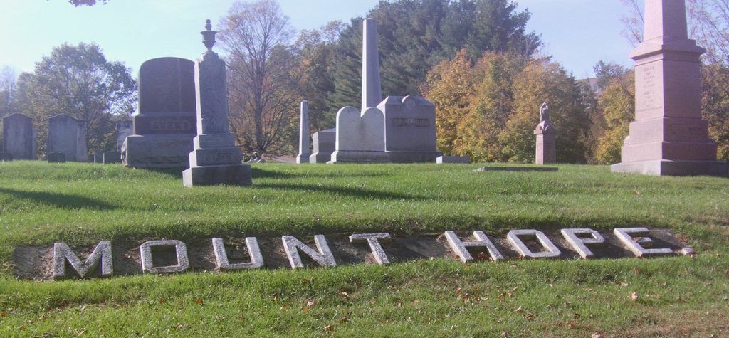
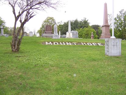
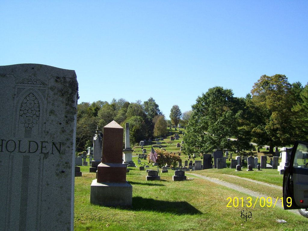
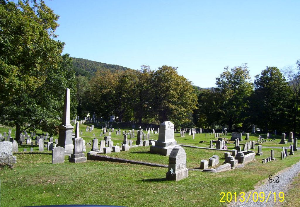
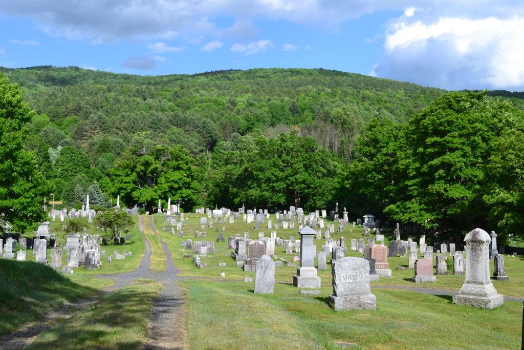
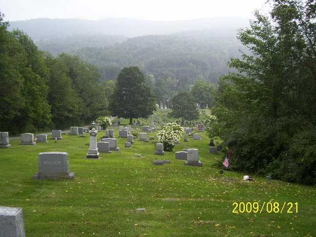
| Description | : | Coming North on Vt Route 12A, just outside of Northfield 12A joins with Vt Route 12/South Main Street. The cemetery is on Route 12/South Main Street on the left almost immediately, before you get to Norwich University. It is well marked. The Mount Hope Vault, as indicated on some death certificates or obituaries, was used as temporary storage during the Winter months while awaiting for burial in the Spring. Some remains were interred to other cemeteries such as Calvary (for Catholic parishioners) or Roxbury. |
frequently asked questions (FAQ):
-
Where is Mount Hope Cemetery?
Mount Hope Cemetery is located at Route 12/South Main Street Northfield, Washington County ,Vermont ,USA.
-
Mount Hope Cemetery cemetery's updated grave count on graveviews.com?
13 memorials
-
Where are the coordinates of the Mount Hope Cemetery?
Latitude: 44.1351051
Longitude: -72.6601105
Nearby Cemetories:
1. Richardson Cemetery
Northfield, Washington County, USA
Coordinate: 44.1414510, -72.6641270
2. Norwich University Cemetery
Northfield, Washington County, USA
Coordinate: 44.1351400, -72.6746900
3. Old Catholic Cemetery
Northfield, Washington County, USA
Coordinate: 44.1528015, -72.6514969
4. Elmwood Cemetery
Northfield, Washington County, USA
Coordinate: 44.1543200, -72.6596400
5. Calvary Cemetery
Northfield, Washington County, USA
Coordinate: 44.1626700, -72.6554000
6. Northfield Falls Cemetery
Northfield Falls, Washington County, USA
Coordinate: 44.1693800, -72.6511500
7. Aldrich Cemetery
Northfield, Washington County, USA
Coordinate: 44.1638000, -72.6880300
8. Robinson Cemetery
Northfield, Washington County, USA
Coordinate: 44.1128800, -72.6176600
9. Winch Hill Cemetery
Roxbury, Washington County, USA
Coordinate: 44.0953710, -72.6711990
10. Loomis Cemetery
Northfield, Washington County, USA
Coordinate: 44.1521500, -72.6008000
11. Cox Brook Cemetery
Northfield, Washington County, USA
Coordinate: 44.1879580, -72.6711590
12. Roxbury Cemetery
Roxbury, Washington County, USA
Coordinate: 44.1094400, -72.7267800
13. East Roxbury Cemetery
East Roxbury, Washington County, USA
Coordinate: 44.0798900, -72.6520200
14. Four Corners Cemetery
Northfield, Washington County, USA
Coordinate: 44.1810114, -72.7156091
15. West Berlin Cemetery
West Berlin, Washington County, USA
Coordinate: 44.2023600, -72.6362800
16. West Hill Cemetery
Williamstown, Orange County, USA
Coordinate: 44.1211200, -72.5654100
17. Orcutt Cemetery
Roxbury, Washington County, USA
Coordinate: 44.0746300, -72.7105000
18. West Hill-First Settlers Cemetery
Roxbury, Washington County, USA
Coordinate: 44.1039320, -72.7517600
19. Roxbury First Settler Cemetery East
East Roxbury, Washington County, USA
Coordinate: 44.0578410, -72.6620520
20. Samuel Adams Gravesite
Williamstown, Orange County, USA
Coordinate: 44.0923000, -72.5693200
21. Woodward Cemetery
Roxbury, Washington County, USA
Coordinate: 44.0864144, -72.7485008
22. Brook Lands Family Cemetery
Barre, Washington County, USA
Coordinate: 44.1869900, -72.5727700
23. Howard Cemetery
Berlin, Washington County, USA
Coordinate: 44.2125600, -72.6070600
24. Black Cemetery
Berlin, Washington County, USA
Coordinate: 44.2075600, -72.5917060

