
| Memorials | : | 0 |
| Location | : | Gas City, Grant County, USA |
| Coordinate | : | 40.5049591, -85.6156311 |
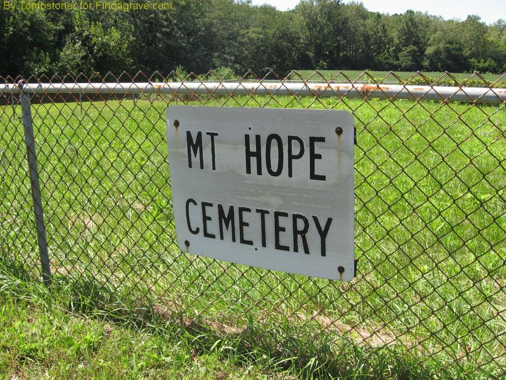
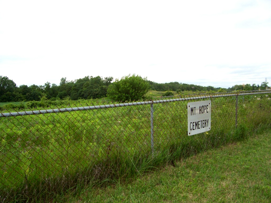
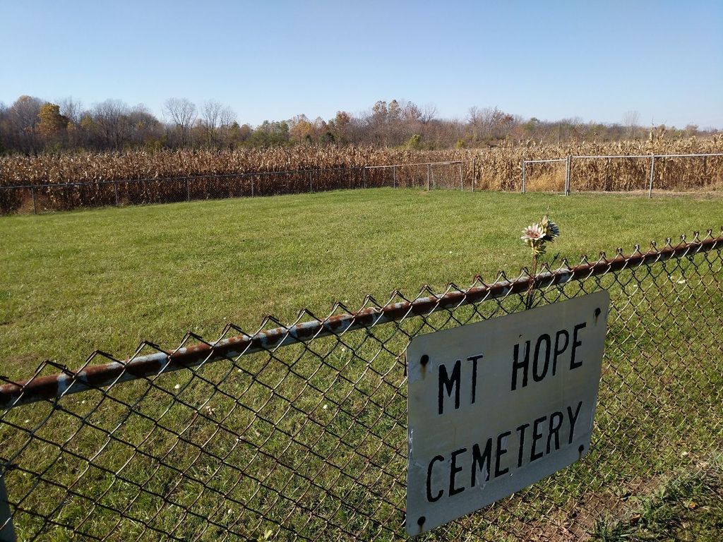
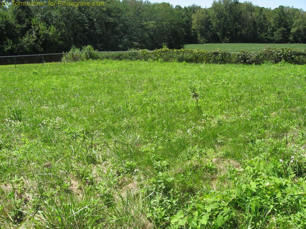
| Description | : | Also known as Potters Field Cemetery or Grant County Infirmary Mount Hope is on county land lying west of the new infirmary which is directly north of Gas City. It is an old potters field cemetery. The cemetery was plowed up and corn was planted on top of the graves. But renewed interest in the past of our county caused a public outcry about the condition of the cemetery known as Mount Hope. So the area was fenced in and grass was seeded. There is a sign at this location that only states the name of Mount Hope. No stones or... Read More |
frequently asked questions (FAQ):
-
Where is Mount Hope Cemetery?
Mount Hope Cemetery is located at S.Garthwaite Road Gas City, Grant County ,Indiana , 46933USA.
-
Mount Hope Cemetery cemetery's updated grave count on graveviews.com?
0 memorials
-
Where are the coordinates of the Mount Hope Cemetery?
Latitude: 40.5049591
Longitude: -85.6156311
Nearby Cemetories:
1. Walnut Creek Cemetery
Gas City, Grant County, USA
Coordinate: 40.4949570, -85.6062170
2. Griffin Cemetery
Home Corner, Grant County, USA
Coordinate: 40.5182037, -85.6174011
3. Riverside Cemetery
Gas City, Grant County, USA
Coordinate: 40.4858017, -85.6226807
4. Marion National Cemetery
Marion, Grant County, USA
Coordinate: 40.5237732, -85.6303406
5. Paxton Farm Cemetery
Grant County, USA
Coordinate: 40.5240288, -85.5993729
6. Gas City Cemetery
Gas City, Grant County, USA
Coordinate: 40.4803960, -85.6023840
7. Pet Rest Cemetery
Marion, Grant County, USA
Coordinate: 40.5314636, -85.6350555
8. Estates of Serenity
Marion, Grant County, USA
Coordinate: 40.5377500, -85.6396900
9. Puckett Cemetery
Marion, Grant County, USA
Coordinate: 40.5246544, -85.5733109
10. Deer Creek Cemetery
Marion, Grant County, USA
Coordinate: 40.4934769, -85.6685638
11. Branson Cemetery
Marion, Grant County, USA
Coordinate: 40.5434850, -85.6485360
12. Foster Cemetery
Marion, Grant County, USA
Coordinate: 40.5409310, -85.6557460
13. Bethel Cemetery
Jonesboro, Grant County, USA
Coordinate: 40.4557910, -85.5971240
14. McKinney Lugar Creek Cemetery
Marion, Grant County, USA
Coordinate: 40.5388680, -85.5644150
15. McCormick Cemetery
Jonesboro, Grant County, USA
Coordinate: 40.4546967, -85.5833054
16. Burson Cemetery
Marion, Grant County, USA
Coordinate: 40.5531006, -85.5774994
17. Grant Memorial Park
Marion, Grant County, USA
Coordinate: 40.5393982, -85.6757965
18. Gallatin Street Cemetery (Defunct)
Marion, Grant County, USA
Coordinate: 40.5567060, -85.6618150
19. Back Creek Friends Cemetery
Fairmount, Grant County, USA
Coordinate: 40.4450798, -85.6450119
20. Park Cemetery
Fairmount, Grant County, USA
Coordinate: 40.4346008, -85.6447372
21. Jefferson Cemetery
Upland, Grant County, USA
Coordinate: 40.4801941, -85.5239792
22. Ballinger Cemetery
Upland, Grant County, USA
Coordinate: 40.4774437, -85.5230713
23. Salem Cemetery
Marion, Grant County, USA
Coordinate: 40.5814018, -85.6369019
24. Fletcher Chapel Cemetery
Marion, Grant County, USA
Coordinate: 40.5834670, -85.5799450