| Memorials | : | 3 |
| Location | : | Murphy, Cherokee County, USA |
| Coordinate | : | 35.0015600, -84.2582850 |
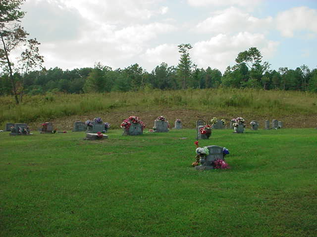
| Description | : | This cemetery is located on the corner of Johnsonville Road (NC-1107) & Marrestop Road (NC-1110) on the west side of Cherokee County, NC |
frequently asked questions (FAQ):
-
Where is Mount Moriah Baptist Church Cemetery?
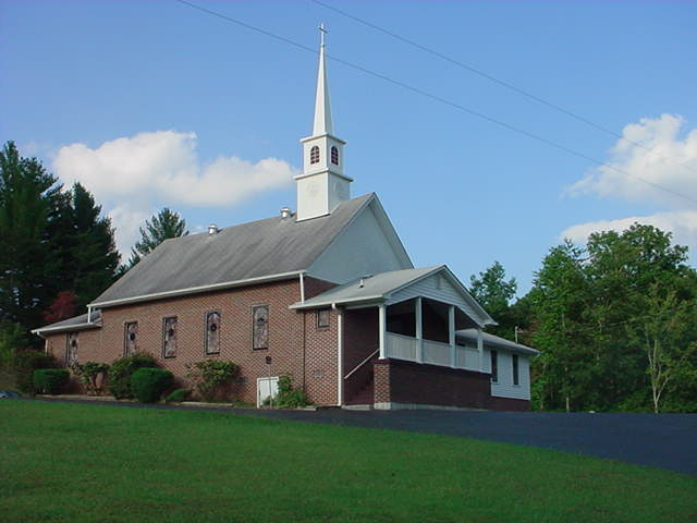
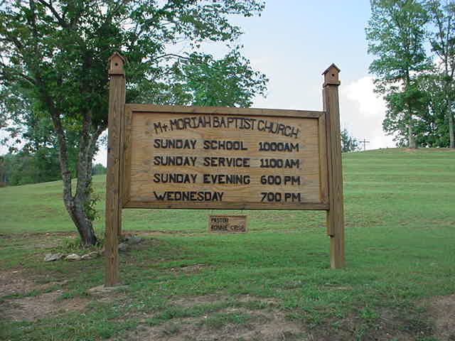
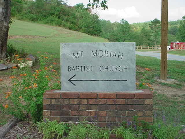
Mount Moriah Baptist Church Cemetery is located at Johnsonville Road (County Road 1107) and Marrestop Road (County Road 1110) Murphy, Cherokee County ,North Carolina , 28906USA.
-
Mount Moriah Baptist Church Cemetery cemetery's updated grave count on graveviews.com?
3 memorials
-
Where are the coordinates of the Mount Moriah Baptist Church Cemetery?
Latitude: 35.0015600
Longitude: -84.2582850
Nearby Cemetories:
1. Temple Baptist Church Cemetery
Murphy, Cherokee County, USA
Coordinate: 35.0188300, -84.2705200
2. Simonds Chapel Baptist Church Cemetery
Murphy, Cherokee County, USA
Coordinate: 35.0219600, -84.2738810
3. New Liberty Baptist Cemetery
Fannin County, USA
Coordinate: 34.9852100, -84.2323540
4. Hopewell Baptist Church Cemetery
Hothouse, Cherokee County, USA
Coordinate: 35.0212021, -84.2335434
5. Salem Missionary Baptist Church Cemetery #2
Mineral Bluff, Fannin County, USA
Coordinate: 34.9746600, -84.2761300
6. Macedonia Baptist Church Cemetery
Wolf Creek, Cherokee County, USA
Coordinate: 35.0113060, -84.3027470
7. Cornerstone Fellowship Baptist Church Cemetery
Mineral Bluff, Fannin County, USA
Coordinate: 34.9858500, -84.2163300
8. Mount Pleasant Baptist Church Cemetery
Murphy, Cherokee County, USA
Coordinate: 35.0067300, -84.2027400
9. New Prospect Baptist Church Cemetery
Fannin County, USA
Coordinate: 34.9526440, -84.2575430
10. Hensley Cemetery
Fannin County, USA
Coordinate: 34.9510994, -84.2830963
11. Dillard Family Cemetery
Mineral Bluff, Fannin County, USA
Coordinate: 34.9468400, -84.2675400
12. Sweetgum Cemetery
Sweet Gum, Fannin County, USA
Coordinate: 34.9794210, -84.1960460
13. Pleasant Hill Baptist Church Cemetery
Mineral Bluff, Fannin County, USA
Coordinate: 34.9468110, -84.2702830
14. Flax Creek Cemetery
Murphy, Cherokee County, USA
Coordinate: 35.0475760, -84.2098890
15. Pleasant Hill Baptist Church Cemetery
Copperhill, Polk County, USA
Coordinate: 34.9981000, -84.3336000
16. Amburn Cemetery
Polk County, USA
Coordinate: 35.0031013, -84.3339005
17. Anderson Cemetery
Fannin County, USA
Coordinate: 34.9514008, -84.3028030
18. Vanhook Cemetery
Mineral Bluff, Fannin County, USA
Coordinate: 34.9432040, -84.2275330
19. Friendship Baptist Church Cemetery #2
Fannin County, USA
Coordinate: 34.9871500, -84.1810300
20. Shady Grove Cemetery
Murphy, Cherokee County, USA
Coordinate: 35.0163760, -84.1783440
21. Kent-Panter Cemetery
Mineral Bluff, Fannin County, USA
Coordinate: 34.9522000, -84.3157340
22. Union Baptist Church Cemetery
Mineral Bluff, Fannin County, USA
Coordinate: 34.9526920, -84.3169070
23. Mount Hermon Baptist Church Cemetery
Fannin County, USA
Coordinate: 34.9696200, -84.1838310
24. Jerusalem Cemetery
Mineral Bluff, Fannin County, USA
Coordinate: 34.9322014, -84.2453003


