| Memorials | : | 0 |
| Location | : | Moatsville, Barbour County, USA |
| Coordinate | : | 39.2512380, -79.9088340 |
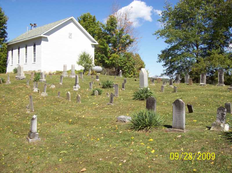
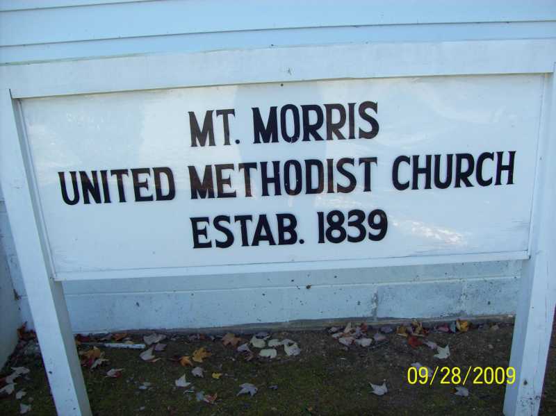
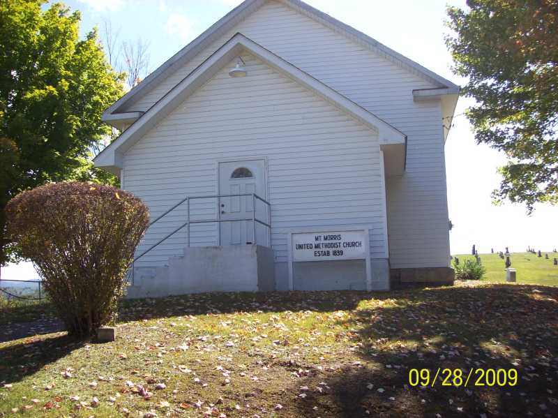
| Description | : | The Mount Morris Cemetery can be reached from Belington, WV. Leave Belington at the intersection of U.S Route 250 and state route 92, travel north on route 92 for about 17.9 miles; turn left on Route 1 (Claude Road) and proceed for approximately 1 mile to the Route 1/1 intersection. Turn left onto the Hiram-Mt. Morris Road (Route 1/1) and proceed 0.3 miles to the Mount Morris Cemetery and United Methodist Church on the left-hand side of the road. |
frequently asked questions (FAQ):
-
Where is Mount Morris Cemetery?
Mount Morris Cemetery is located at Moatsville, Barbour County ,West Virginia ,USA.
-
Mount Morris Cemetery cemetery's updated grave count on graveviews.com?
0 memorials
-
Where are the coordinates of the Mount Morris Cemetery?
Latitude: 39.2512380
Longitude: -79.9088340
Nearby Cemetories:
1. Locust Grove Cemetery
Kasson, Barbour County, USA
Coordinate: 39.2496796, -79.8742828
2. Armstrong Cemetery
Barbour County, USA
Coordinate: 39.2378807, -79.8649673
3. Pritchard Cemetery
Clemtown, Barbour County, USA
Coordinate: 39.2432020, -79.9599590
4. Moats-Ball Cemetery
Moatsville, Barbour County, USA
Coordinate: 39.2191100, -79.9510300
5. Old Dutch Cemetery
Nestorville, Barbour County, USA
Coordinate: 39.2069540, -79.8893020
6. Campbell Cemetery
Nestorville, Barbour County, USA
Coordinate: 39.2059960, -79.8860070
7. Otterbein Chapel Cemetery
Fellowsville, Preston County, USA
Coordinate: 39.2964040, -79.8749440
8. Shiloh Cemetery
Kasson, Barbour County, USA
Coordinate: 39.2172012, -79.8510971
9. Mariahs Chapel Cemetery
Barbour County, USA
Coordinate: 39.2340431, -79.9788132
10. Mount Pleasant United Methodist Church Cemetery
Thornton, Taylor County, USA
Coordinate: 39.3098450, -79.9056810
11. New Hope Cemetery
Valley Furnace, Barbour County, USA
Coordinate: 39.1966040, -79.8787540
12. Mount Castle Cemetery
Valley Furnace, Barbour County, USA
Coordinate: 39.2019870, -79.8629650
13. Mount View Cemetery
Clemtown, Barbour County, USA
Coordinate: 39.2589460, -79.9888340
14. Mount Zion Cemetery
Marquess, Preston County, USA
Coordinate: 39.2932014, -79.8473663
15. Nestorville Cemetery
Barbour County, USA
Coordinate: 39.1865020, -79.9111950
16. Old Sandy Church Cemetery
Evansville, Preston County, USA
Coordinate: 39.3147011, -79.8842010
17. Fairview Cemetery
Barbour County, USA
Coordinate: 39.1982994, -79.9608002
18. Saint John Cemetery
Barbour County, USA
Coordinate: 39.1850890, -79.9419250
19. Knottsville Cemetery
Knottsville, Taylor County, USA
Coordinate: 39.3125000, -79.9642029
20. Ebenezer Methodist Church Cemetery
Arden, Barbour County, USA
Coordinate: 39.2195150, -80.0010010
21. Wesley Chapel Cemetery
Grafton, Taylor County, USA
Coordinate: 39.3044014, -79.9922028
22. Arnold Cemetery
Grafton, Taylor County, USA
Coordinate: 39.2985115, -80.0014712
23. Mount Zion Church of The Brethren Cemetery
Meadowville, Barbour County, USA
Coordinate: 39.1720670, -79.8625520
24. Shahan Cemetery
Marquess, Preston County, USA
Coordinate: 39.2882450, -79.8064520


