
| Memorials | : | 7 |
| Location | : | Clearbranch, Unicoi County, USA |
| Coordinate | : | 36.0531900, -82.5169500 |
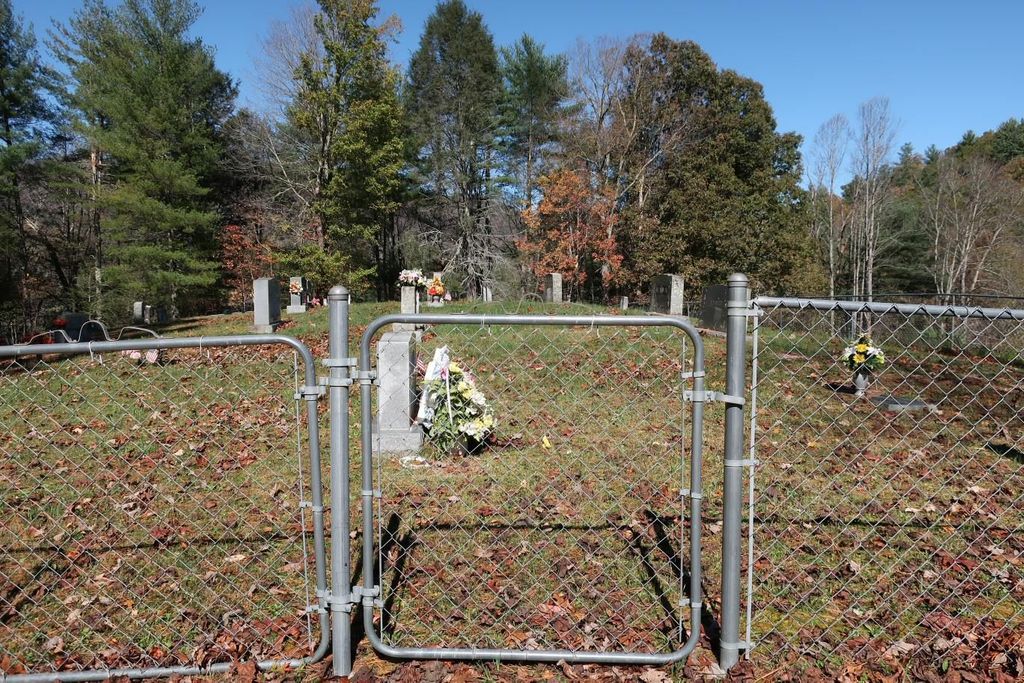
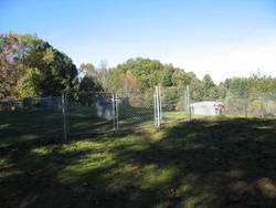
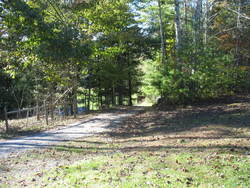
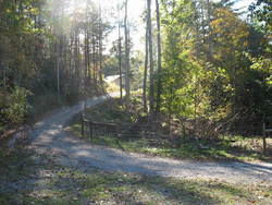
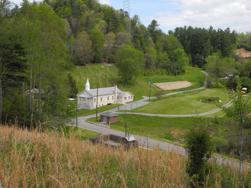
| Description | : | Up South Indian Creek past Rocky Fork Creek The cemetery lies just a few yards north of the location of the old Mount Pleasant Methodist church which burned several decades ago. Mount Pleasant overlooks Clear Branch Baptist church, located just to the northeast of Mount Pleasant. Many relatives of those buried at Mount Pleasant can be found behind Clear Branch Baptist church. |
frequently asked questions (FAQ):
-
Where is Mount Pleasant Cemetery?
Mount Pleasant Cemetery is located at Old Ridge Road Clearbranch, Unicoi County ,Tennessee ,USA.
-
Mount Pleasant Cemetery cemetery's updated grave count on graveviews.com?
7 memorials
-
Where are the coordinates of the Mount Pleasant Cemetery?
Latitude: 36.0531900
Longitude: -82.5169500
Nearby Cemetories:
1. Clear Branch Cemetery
Clearbranch, Unicoi County, USA
Coordinate: 36.0546300, -82.5156600
2. Kan Foster Cemetery
Coffee Ridge, Unicoi County, USA
Coordinate: 36.0450400, -82.5068400
3. Gillis Cemetery
Coffee Ridge, Unicoi County, USA
Coordinate: 36.0405200, -82.5151400
4. Hensley Cemetery #2
Unicoi County, USA
Coordinate: 36.0468800, -82.5017700
5. Clouse Cemetery
Flag Pond, Unicoi County, USA
Coordinate: 36.0485500, -82.5339500
6. Holcomb Cemetery
Clearbranch, Unicoi County, USA
Coordinate: 36.0614600, -82.5021900
7. Riddle Cemetery
Rocky Fork, Unicoi County, USA
Coordinate: 36.0674500, -82.5207100
8. Gillis Cemetery #2
Ernestville, Unicoi County, USA
Coordinate: 36.0665500, -82.5054100
9. Edwards Branch Cemetery
Flag Pond, Unicoi County, USA
Coordinate: 36.0677400, -82.5277100
10. Foster Cemetery #1
Erwin, Unicoi County, USA
Coordinate: 36.0446600, -82.4986000
11. Sams Cemetery
Unicoi County, USA
Coordinate: 36.0327988, -82.5105972
12. Willis Cemetery #1
Coffee Ridge, Unicoi County, USA
Coordinate: 36.0313390, -82.5069890
13. Tilson Cemetery
Clearbranch, Unicoi County, USA
Coordinate: 36.0299988, -82.5255966
14. Foster Cemetery
Unicoi County, USA
Coordinate: 36.0387800, -82.4926700
15. Sams Cemetery #1
Coffee Ridge, Unicoi County, USA
Coordinate: 36.0265700, -82.5107500
16. Tumbling Hill Cemetery
Coffee Ridge, Unicoi County, USA
Coordinate: 36.0385300, -82.4885800
17. Big Branch Cemetery
Rocky Fork, Unicoi County, USA
Coordinate: 36.0589700, -82.5506500
18. Foster Cemetery
Unicoi County, USA
Coordinate: 36.0429500, -82.4847100
19. Tinker Cemetery #2
Ernestville, Unicoi County, USA
Coordinate: 36.0798000, -82.5048900
20. Low Gap Cemetery
Unicoi County, USA
Coordinate: 36.0654800, -82.4846900
21. Willis Cemetery #3
Chestoa, Unicoi County, USA
Coordinate: 36.0319100, -82.4917500
22. Higgins Cemetery
Rocky Fork, Unicoi County, USA
Coordinate: 36.0553700, -82.5540200
23. Donna Sue Shelton Cemetery
Flag Pond, Unicoi County, USA
Coordinate: 36.0350200, -82.5476500
24. Lloyd Cemetery
Rocky Fork, Unicoi County, USA
Coordinate: 36.0537200, -82.5557600