
| Memorials | : | 0 |
| Location | : | Franklin County, USA |
| Coordinate | : | 38.0274730, -89.0166810 |
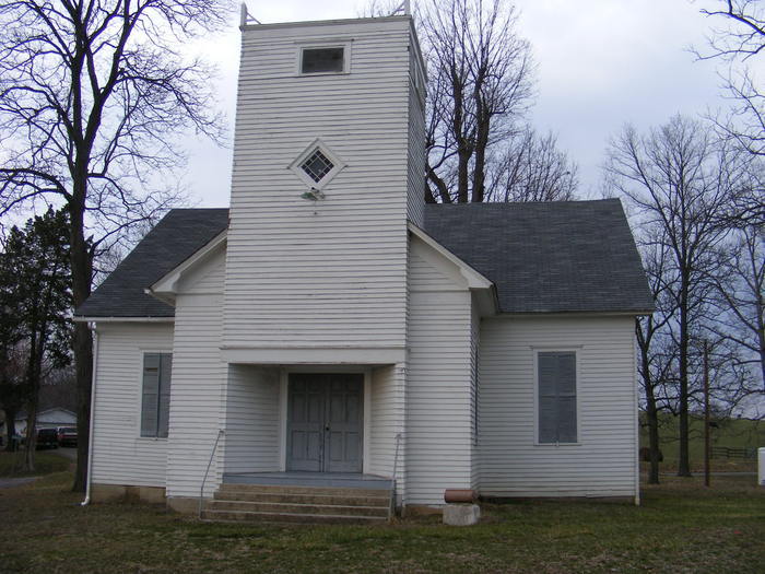
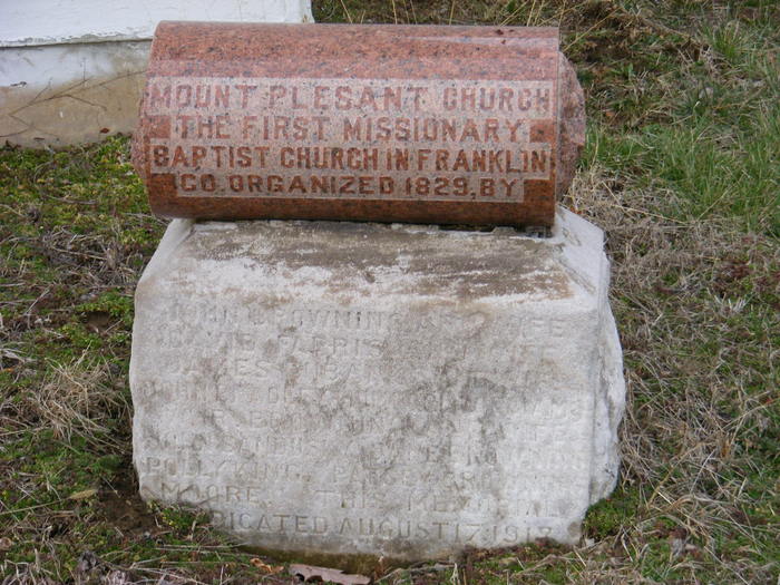
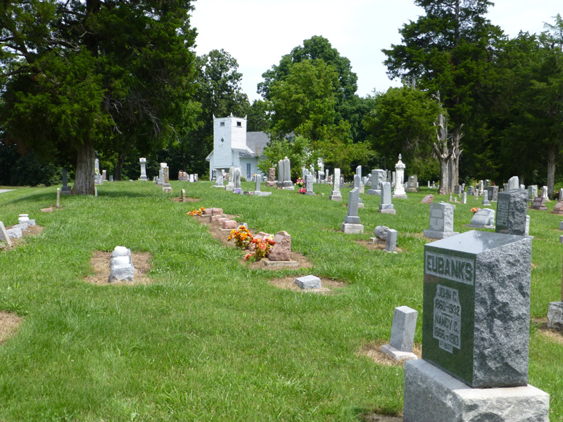
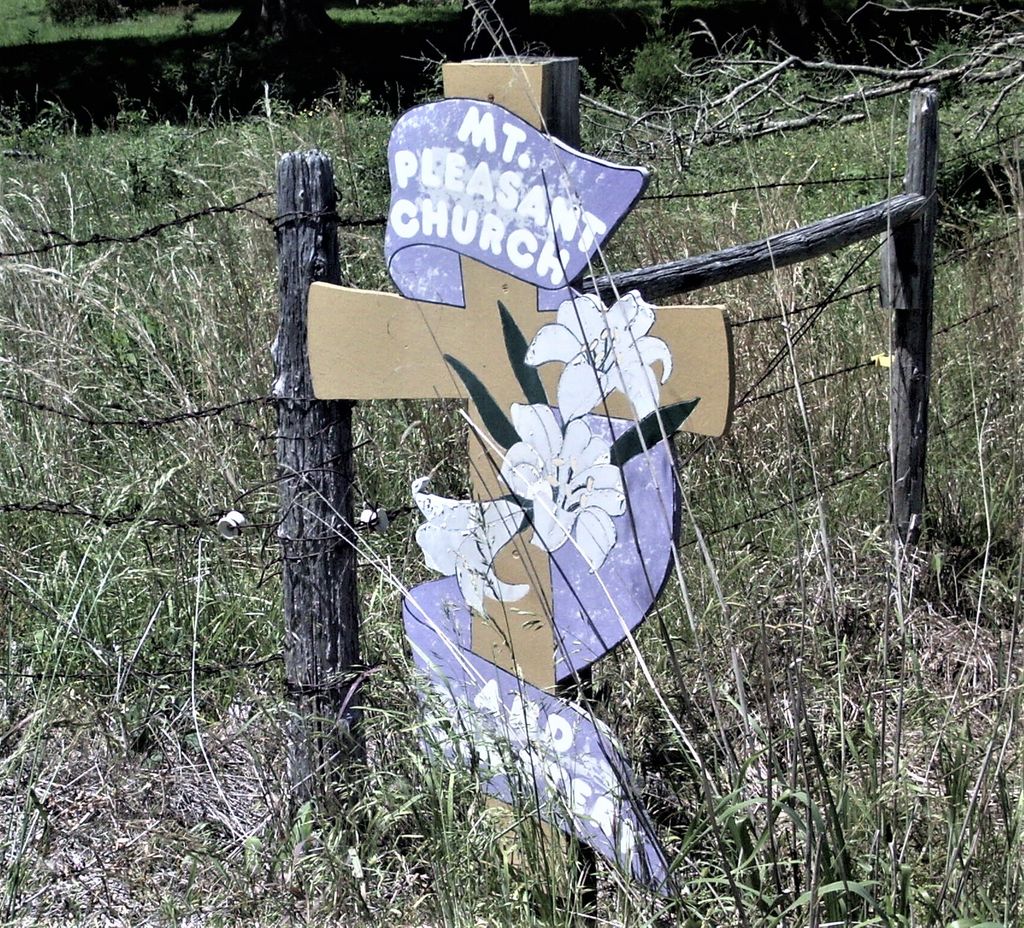
| Description | : | The cemetery is not located in either Valier or Rend City but has a mailing address, per Google maps, as Mount Pleasant Church, Benton, Illinois 62812, USA. This cemetery is in a rural location and the Church next to it is no longer in use so no mail is delivered there, and the city of Benton is actually further from the church than either Valier or Rend City. The actual location of the cemetery is in Browning Township, Franklin County. |
frequently asked questions (FAQ):
-
Where is Mount Pleasant Church Cemetery?
Mount Pleasant Church Cemetery is located at in Browning Township Franklin County ,Illinois , 62812USA.
-
Mount Pleasant Church Cemetery cemetery's updated grave count on graveviews.com?
0 memorials
-
Where are the coordinates of the Mount Pleasant Church Cemetery?
Latitude: 38.0274730
Longitude: -89.0166810
Nearby Cemetories:
1. Grammer Cemetery
Franklin County, USA
Coordinate: 38.0332985, -89.0143967
2. Browning Hill Cemetery
Benton, Franklin County, USA
Coordinate: 38.0225500, -88.9906271
3. Knight Cemetery
Buckner, Franklin County, USA
Coordinate: 37.9989014, -89.0205994
4. Russian Orthodox Cemetery
Buckner, Franklin County, USA
Coordinate: 37.9984627, -89.0037231
5. Hammond Cemetery
Sesser, Franklin County, USA
Coordinate: 38.0597000, -89.0152969
6. Hickory Corners Cemetery
Rend City, Franklin County, USA
Coordinate: 37.9942096, -89.0028444
7. Conner-Hammonds Cemetery
Buckner, Franklin County, USA
Coordinate: 37.9942790, -89.0022820
8. Smith Cemetery
Buckner, Franklin County, USA
Coordinate: 37.9911003, -89.0357971
9. Odum-Moser Cemetery
Franklin County, USA
Coordinate: 38.0189018, -88.9522018
10. Brown Cemetery
Sesser, Franklin County, USA
Coordinate: 38.0783870, -88.9905750
11. Harrison Cemetery
Buckner, Franklin County, USA
Coordinate: 37.9721985, -89.0246964
12. Mitchell Cemetery
Sesser, Franklin County, USA
Coordinate: 38.0741997, -89.0697021
13. Waymon Cemetery
Franklin County, USA
Coordinate: 38.0303001, -88.9338989
14. Ward Cemetery
Coello, Franklin County, USA
Coordinate: 38.0344009, -89.1044006
15. Youngblood Cemetery
Coello, Franklin County, USA
Coordinate: 38.0396996, -89.1042023
16. Saint Joseph Cemetery
West City, Franklin County, USA
Coordinate: 37.9869003, -88.9417038
17. Naylor Cemetery
Franklin County, USA
Coordinate: 37.9822006, -89.0967026
18. Greenwood Cemetery
Coello, Franklin County, USA
Coordinate: 38.0266991, -89.1156006
19. Bear Point Cemetery
Sesser, Franklin County, USA
Coordinate: 38.0856018, -89.0847015
20. Maple Hill Cemetery
Sesser, Franklin County, USA
Coordinate: 38.1039009, -89.0532990
21. Veterans Memorial Cemetery
Benton, Franklin County, USA
Coordinate: 37.9933014, -88.9218979
22. Saint Andrew Cemetery
Christopher, Franklin County, USA
Coordinate: 37.9491997, -89.0543976
23. Horse Prairie Cemetery
Sesser, Franklin County, USA
Coordinate: 38.1136800, -89.0350600
24. Masonic and Odd Fellows Cemetery
Benton, Franklin County, USA
Coordinate: 37.9781650, -88.9183380