
| Memorials | : | 65 |
| Location | : | Pilot Oak, Graves County, USA |
| Coordinate | : | 36.5761460, -88.7108660 |
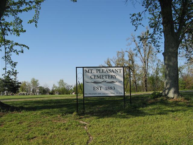
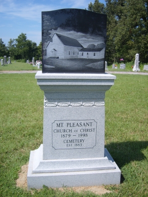
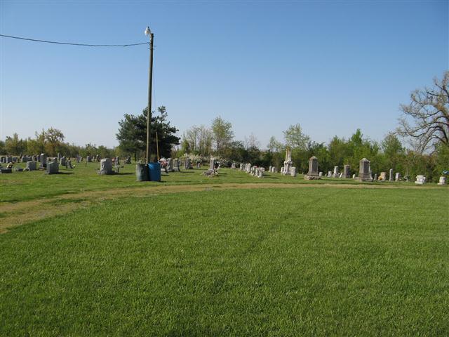
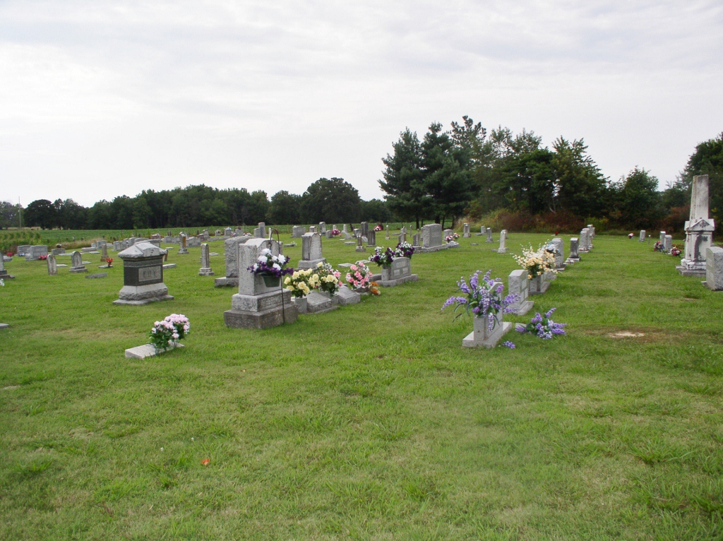
| Description | : | Mount Pleasant Cemetery is the official name of this cemetery. It's located in southern Graves County, Kentucky. Drive north from Pilot Oak on Highway 129 to Mount Pleasant Church Road turn east, cemetery on north side of road (or) drive east from Wingo on Highway 339 turn south on Highway 129, travel south to Mount Pleasant Church Road turn east, cemetery on north side of road. The first burial in this cemetery was Lena Pearl Thompson, born February 6, 1881 and died July 30, 1883. If you wish to manage a memorial in this cemetery make your request... Read More |
frequently asked questions (FAQ):
-
Where is Mount Pleasant Church of Christ Cemetery?
Mount Pleasant Church of Christ Cemetery is located at Pilot Oak, Graves County ,Kentucky ,USA.
-
Mount Pleasant Church of Christ Cemetery cemetery's updated grave count on graveviews.com?
49 memorials
-
Where are the coordinates of the Mount Pleasant Church of Christ Cemetery?
Latitude: 36.5761460
Longitude: -88.7108660
Nearby Cemetories:
1. Adams Cemetery
Graves County, USA
Coordinate: 36.5477982, -88.7110977
2. Powell Cemetery
Mayfield, Graves County, USA
Coordinate: 36.5477500, -88.6949170
3. Pilot Oak Baptist Church Cemetery
Graves County, USA
Coordinate: 36.5471520, -88.7271790
4. Morris Cemetery
Graves County, USA
Coordinate: 36.5461006, -88.7253036
5. New Bethlehem Cemetery
Pilot Oak, Graves County, USA
Coordinate: 36.5460200, -88.7343760
6. Dobson Cemetery
Graves County, USA
Coordinate: 36.5806007, -88.6641998
7. Old Bethlehem Cemetery
Graves County, USA
Coordinate: 36.5464483, -88.7408878
8. Hainline Cemetery
Graves County, USA
Coordinate: 36.5303001, -88.7130966
9. Neale Cemetery
Graves County, USA
Coordinate: 36.6185989, -88.6866989
10. Bowden Cemetery
Graves County, USA
Coordinate: 36.5549400, -88.6590000
11. Osborne Cemetery
Graves County, USA
Coordinate: 36.5231018, -88.7146988
12. Poyners Chapel Cemetery
Graves County, USA
Coordinate: 36.6193740, -88.6687130
13. Jones Cemetery
Graves County, USA
Coordinate: 36.6296997, -88.6856003
14. Old Bethel Cemetery
Dukedom, Graves County, USA
Coordinate: 36.5266340, -88.7496210
15. Motheral Family Cemetery
Cuba, Graves County, USA
Coordinate: 36.5542700, -88.6414500
16. Cuba Baptist Church Cemetery
Cuba, Graves County, USA
Coordinate: 36.5840150, -88.6305940
17. McGuire Cemetery
Graves County, USA
Coordinate: 36.5295280, -88.6488330
18. Cuba Church of Christ Cemetery
Cuba, Graves County, USA
Coordinate: 36.5832187, -88.6260332
19. Martin Cemetery
Graves County, USA
Coordinate: 36.5900002, -88.6264038
20. Williams Cemetery
Cuba, Graves County, USA
Coordinate: 36.6218060, -88.6435000
21. Colley Family Cemetery
Mayfield, Graves County, USA
Coordinate: 36.6117900, -88.6336300
22. Old Dukedom Cemetery
Dukedom, Graves County, USA
Coordinate: 36.5026420, -88.7184080
23. Freeman Cemetery
Dukedom, Weakley County, USA
Coordinate: 36.5019000, -88.7181000
24. Perry Cemetery
Graves County, USA
Coordinate: 36.6032982, -88.6231003