
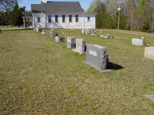
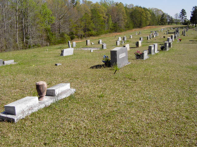
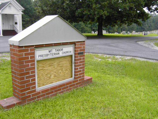
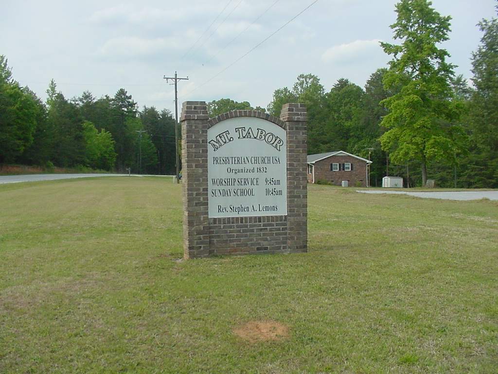
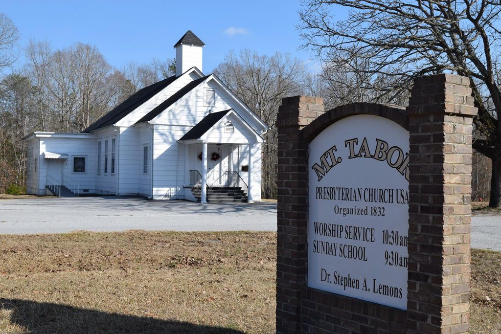
| Memorials | : | 219 |
| Location | : | Lockhart, Union County, USA |
| Coordinate | : | 34.8032990, -81.5018997 |
frequently asked questions (FAQ):
-
Where is Mount Tabor Presbyterian Church Cemetery?
Mount Tabor Presbyterian Church Cemetery is located at Lockhart, Union County ,South Carolina ,USA.
-
Mount Tabor Presbyterian Church Cemetery cemetery's updated grave count on graveviews.com?
219 memorials
-
Where are the coordinates of the Mount Tabor Presbyterian Church Cemetery?
Latitude: 34.8032990
Longitude: -81.5018997
Nearby Cemetories:
1. Mount Rowell Baptist Church Cemetery
Kelton, Union County, USA
Coordinate: 34.7981540, -81.5179320
2. Reidsville Cemetery
Union County, USA
Coordinate: 34.8217010, -81.5008011
3. Gist-Giles-Pinckneyville Cemetery
Union County, USA
Coordinate: 34.8361015, -81.4906006
4. Lockhart Chapel Baptist Church Cemetery
Union, Union County, USA
Coordinate: 34.7736670, -81.4736110
5. Emanuel Chapel Baptist Church Cemetery
Union, Union County, USA
Coordinate: 34.8407130, -81.4936770
6. New Emanuel Chapel Baptist Church Cemetery
Kelton, Union County, USA
Coordinate: 34.8408190, -81.4938140
7. Wesley Chapel Cemetery
Union, Union County, USA
Coordinate: 34.7686005, -81.5235977
8. Scales Cemetery
Union County, USA
Coordinate: 34.7738991, -81.5338974
9. Lockhart Cemetery
Lockhart, Union County, USA
Coordinate: 34.7780970, -81.4633520
10. Foster-Woolbright Cemetery
Union County, USA
Coordinate: 34.8403015, -81.5222015
11. Philippi Cemetery
Union, Union County, USA
Coordinate: 34.7661018, -81.5330963
12. Red Hill Baptist Church Cemetery
Union, Union County, USA
Coordinate: 34.7578500, -81.4965800
13. Pinckney Cemetery
Pinckneyville, Union County, USA
Coordinate: 34.8431015, -81.4685974
14. Irish Cemetery
Chester, Chester County, USA
Coordinate: 34.7719333, -81.4533333
15. Free Cemetery
Union County, USA
Coordinate: 34.7975006, -81.5681000
16. Ebenezer A.M.E. Church Cemetery
Jonesville, Union County, USA
Coordinate: 34.8267300, -81.5671600
17. Garner Cemetery
Union County, USA
Coordinate: 34.8574982, -81.5350037
18. McKissick Cemetery
Union County, USA
Coordinate: 34.8492012, -81.5516968
19. Bethel Baptist Church Cemetery
Union County, USA
Coordinate: 34.8346180, -81.5670930
20. Crossroads Baptist Church Cemetery
Union County, USA
Coordinate: 34.8030820, -81.4257470
21. Haney Cemetery
Union County, USA
Coordinate: 34.8018990, -81.5783005
22. Browns Creek Cemetery
Union, Union County, USA
Coordinate: 34.7528000, -81.5560989
23. Going Cemetery
Union County, USA
Coordinate: 34.8457985, -81.5655975
24. Mount Hopewell Baptist Church Cemetery
Chester County, USA
Coordinate: 34.8259300, -81.4229400