
| Memorials | : | 0 |
| Location | : | Mount Union, Franklin County, USA |
| Coordinate | : | 39.9055300, -77.5013420 |
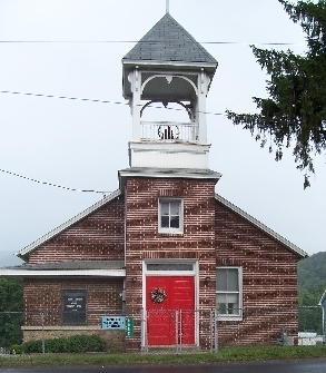
| Description | : | This Cemetery is located on the North side of U.S. Route number 30 (Lincoln HWY) on the east side of the little village of Black's Gap, Greene Township, Franklin Co., PA. The cemetery is behind and to the East side of the church building. 3/4 miles east of PA Route number 997 (Black Gap Road). It is enclosed on the east side. The North and South sides are not enclosed. It is bounded on the North by privately owned property, on the east by an alley, on the south by the church, and on the West by privately owned property. |
frequently asked questions (FAQ):
-
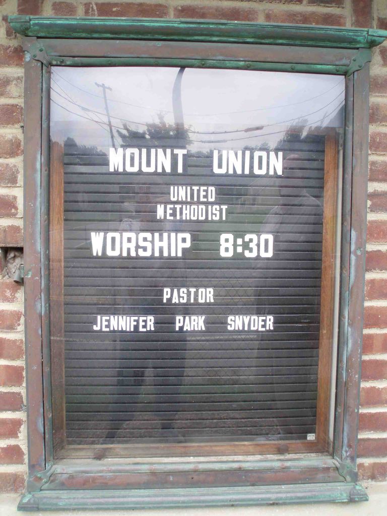
Where is Mount Union United Methodist Church Cemetery?
Mount Union United Methodist Church Cemetery is located at Mount Union, Franklin County ,Pennsylvania ,USA.
-
Mount Union United Methodist Church Cemetery cemetery's updated grave count on graveviews.com?
0 memorials
-
Where are the coordinates of the Mount Union United Methodist Church Cemetery?
Latitude: 39.9055300
Longitude: -77.5013420
Nearby Cemetories:
1. Brownsville Church of God Church Cemetery
Brownsville, Franklin County, USA
Coordinate: 39.9005900, -77.5182100
2. Mentzers Graveyard
Fayetteville, Franklin County, USA
Coordinate: 39.9092720, -77.5403040
3. Saint Paul Evangelical Lutheran Church Cemetery
Fayetteville, Franklin County, USA
Coordinate: 39.9098511, -77.5469513
4. Covenanter Cemetery
Fayetteville, Franklin County, USA
Coordinate: 39.9110490, -77.5480320
5. Union Cemetery
Fayetteville, Franklin County, USA
Coordinate: 39.9127630, -77.5555480
6. Pond Bank Cemetery
Pond Bank, Franklin County, USA
Coordinate: 39.8718800, -77.5403600
7. Pond Bank Mennonite Cemetery
Pond Bank, Franklin County, USA
Coordinate: 39.8732770, -77.5425250
8. Strang Cemetery
South Mountain, Franklin County, USA
Coordinate: 39.8577995, -77.4749985
9. Mont Alto State Sanatorium Cemetery
South Mountain, Franklin County, USA
Coordinate: 39.8468500, -77.4918340
10. New Guilford Cemetery
Fayetteville, Franklin County, USA
Coordinate: 39.8744900, -77.5727000
11. Mount Pleasant Cemetery
Scotland, Franklin County, USA
Coordinate: 39.9499400, -77.5629900
12. Cold Springs Lutheran Cemetery
Orrtanna, Adams County, USA
Coordinate: 39.8436694, -77.4597625
13. Mountain Green Cemetery
Scotland, Franklin County, USA
Coordinate: 39.9752580, -77.5255980
14. Mont Alto Cemetery
Mont Alto, Franklin County, USA
Coordinate: 39.8487500, -77.5602500
15. Old German Baptist Church Cemetery
Falling Spring, Franklin County, USA
Coordinate: 39.9029000, -77.5962000
16. Fetterhoff Chapel Cemetery
Chambersburg, Franklin County, USA
Coordinate: 39.8671500, -77.5821800
17. Fetterhoff Family Burial Ground
Guilford, Franklin County, USA
Coordinate: 39.8577954, -77.5821508
18. Baker Cemetery
Hamiltonban Township, Adams County, USA
Coordinate: 39.8346021, -77.4538692
19. Saint Ignatius Loyola Catholic Church Cemetery
Orrtanna, Adams County, USA
Coordinate: 39.9170000, -77.3947000
20. Witwer Farm Graveyard
Scotland, Franklin County, USA
Coordinate: 39.9497780, -77.5932380
21. Covenanter Cemetery
Scotland, Franklin County, USA
Coordinate: 39.9693867, -77.5864995
22. Scotland United Methodist Church Cemetery
Franklin County, USA
Coordinate: 39.9695000, -77.5869000
23. Falling Spring Reformed Mennonite Cemetery
Chambersburg, Franklin County, USA
Coordinate: 39.9155000, -77.6244000
24. Mount Carmel United Methodist Church Cemetery
Orrtanna, Adams County, USA
Coordinate: 39.8493000, -77.3993000