
| Memorials | : | 0 |
| Location | : | Lumpkin County, USA |
| Coordinate | : | 34.6288560, -84.1039650 |
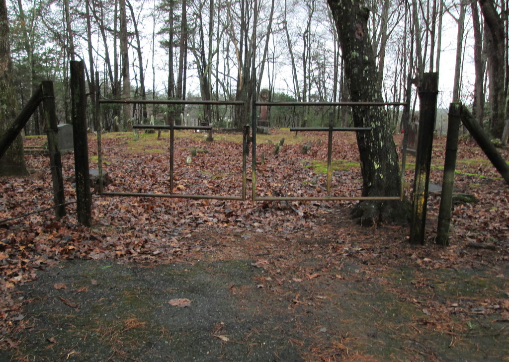
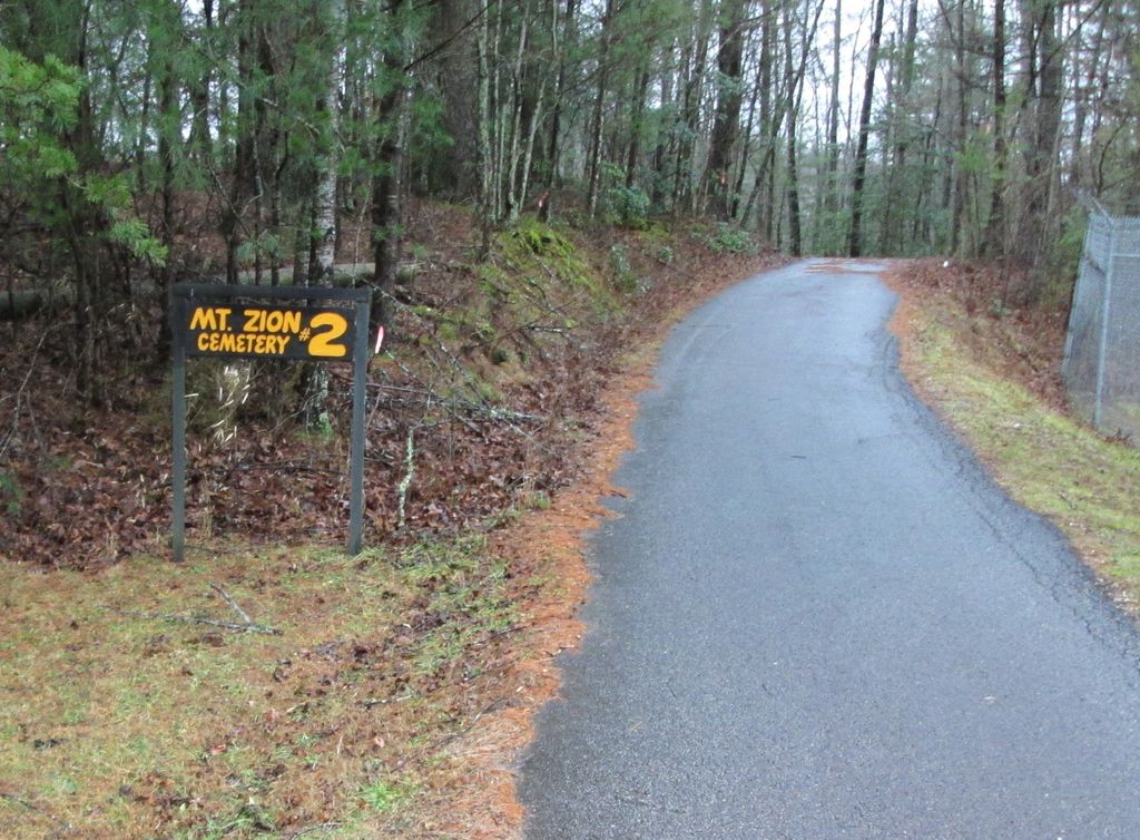
| Description | : | From Dahlonega Public Square drive east on East Main Street.Turn left at the 1st stoplight (Grove Street). Travel 2.2 miles before turning left on Camp Wahsega Road. Follow it 8.5 miles where it ends at Ranger Camp Frank D. Merrill. To the left is Mount Zion Baptist Church #1 and Cemetery #1. Mount Zion Baptist Church #1 Cemetery #2 is within Camp Merrill, a government military installation. Ask for permission at the entrance guard post. |
frequently asked questions (FAQ):
-
Where is Mount Zion Baptist Church #1 Cemetery #2?
Mount Zion Baptist Church #1 Cemetery #2 is located at Lumpkin County ,Georgia ,USA.
-
Mount Zion Baptist Church #1 Cemetery #2 cemetery's updated grave count on graveviews.com?
0 memorials
-
Where are the coordinates of the Mount Zion Baptist Church #1 Cemetery #2?
Latitude: 34.6288560
Longitude: -84.1039650
Nearby Cemetories:
1. Mount Zion Baptist Church #1 Cemetery #1
Lumpkin County, USA
Coordinate: 34.6275150, -84.1007990
2. Shady Grove Cemetery
Dahlonega, Lumpkin County, USA
Coordinate: 34.6226230, -84.0859340
3. Turners Creek Cemetery
Dahlonega, Lumpkin County, USA
Coordinate: 34.6102400, -84.1247600
4. Healan Family Cemetery
Dahlonega, Lumpkin County, USA
Coordinate: 34.6291030, -84.0701530
5. Pierce Family Cemetery
Dahlonega, Lumpkin County, USA
Coordinate: 34.5986630, -84.0864960
6. Pleasant Hill Baptist Cemetery
Dahlonega, Lumpkin County, USA
Coordinate: 34.6069460, -84.0653750
7. Hightower Baptist Church Cemetery
Dahlonega, Lumpkin County, USA
Coordinate: 34.5778000, -84.0701400
8. Hickory Flatts Cemetery
Fannin County, USA
Coordinate: 34.6673900, -84.1624700
9. Cane Creek Baptist Church Cemetery
Dahlonega, Lumpkin County, USA
Coordinate: 34.6089950, -84.0219390
10. Nimblewill Methodist Church Cemetery
Dahlonega, Lumpkin County, USA
Coordinate: 34.5731660, -84.1589500
11. Nimblewill Baptist Church Cemetery
Nimblewill, Lumpkin County, USA
Coordinate: 34.5636890, -84.1407490
12. Edwards Family Cemetery
Lumpkin County, USA
Coordinate: 34.5551190, -84.0412540
13. Oak Grove Baptist Church Cemetery
Dahlonega, Lumpkin County, USA
Coordinate: 34.5570300, -84.0373400
14. Salem Baptist Church Cemetery
Dahlonega, Lumpkin County, USA
Coordinate: 34.5831080, -84.0057100
15. Woody Family Cemetery
Dahlonega, Lumpkin County, USA
Coordinate: 34.6511870, -83.9919680
16. Bethlehem Baptist Church Cemetery
Dahlonega, Lumpkin County, USA
Coordinate: 34.5715320, -84.0116390
17. Rock Creek Cemetery
Blue Ridge, Fannin County, USA
Coordinate: 34.7144012, -84.1575012
18. McDonald Family Cemetery
Dahlonega, Lumpkin County, USA
Coordinate: 34.5337600, -84.0749300
19. Yahoola Baptist Church Cemetery
Dahlonega, Lumpkin County, USA
Coordinate: 34.6141500, -83.9832880
20. Davis Chapel Cemetery
Lumpkin County, USA
Coordinate: 34.5285988, -84.0591965
21. Davis Family Cemetery
Dahlonega, Lumpkin County, USA
Coordinate: 34.5286120, -84.0563180
22. Wesley Chapel United Methodist Church Cemetery
Dahlonega, Lumpkin County, USA
Coordinate: 34.5406620, -84.1845390
23. Siloam Baptist Church Cemetery
Dahlonega, Lumpkin County, USA
Coordinate: 34.5293440, -84.0423010
24. Coopers Creek Baptist Church Cemetery
Fannin County, USA
Coordinate: 34.7421060, -84.1269390