| Memorials | : | 0 |
| Location | : | Benton County, USA |
| Coordinate | : | 34.8125000, -89.2822037 |
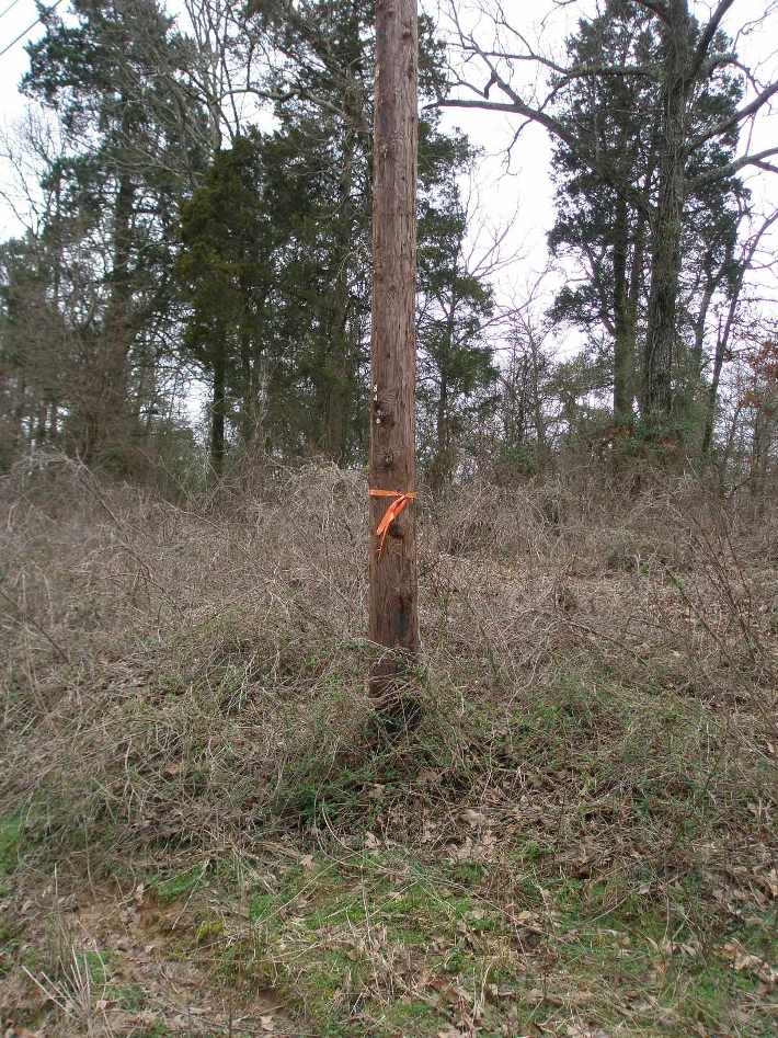
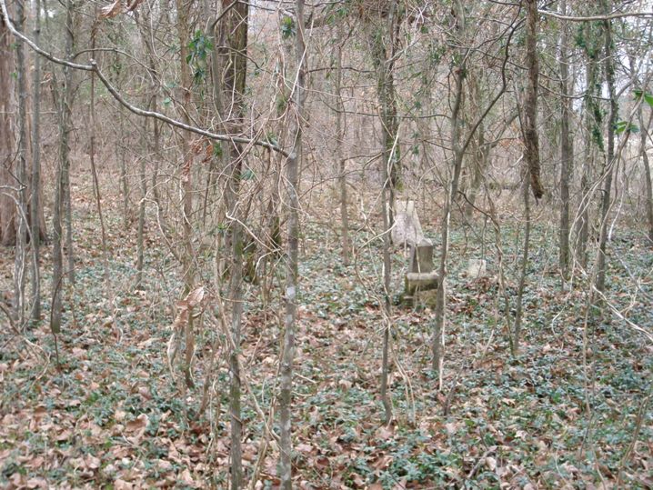
| Description | : | This cemetery is west of Ashland and is about twelve miles east of Holly Springs on the south side of Highway 4 just over the line in Benton County, is an old, old cemetery, long since abandoned as a burial ground. The cemetery is overgrown with trees and undergrowth, but there are signs of other graves that indicate the cemetery was an extensive one. |
frequently asked questions (FAQ):
-
Where is Mount Zion Cemetery?
Mount Zion Cemetery is located at Highway 4 Benton County ,Mississippi ,USA.
-
Mount Zion Cemetery cemetery's updated grave count on graveviews.com?
0 memorials
-
Where are the coordinates of the Mount Zion Cemetery?
Latitude: 34.8125000
Longitude: -89.2822037
Nearby Cemetories:
1. Mitchell Cemetery
Benton County, USA
Coordinate: 34.8147011, -89.2817001
2. Mount Zion CME Cemetery
Benton County, USA
Coordinate: 34.7994003, -89.2735977
3. Harris Chapel Missionary Baptist Church Cemetery
Ashland, Benton County, USA
Coordinate: 34.8355400, -89.2727570
4. Bogard Cemetery
Benton County, USA
Coordinate: 34.8041992, -89.2466965
5. Mitchell Cemetery
Marshall County, USA
Coordinate: 34.8167000, -89.3233032
6. Governor Matthews Cemetery
Benton County, USA
Coordinate: 34.8418999, -89.2602997
7. Powell Chapel M.B. Church Cemetery
Holly Springs, Marshall County, USA
Coordinate: 34.8153730, -89.3301000
8. Shawnee Cemetery
Benton County, USA
Coordinate: 34.7705994, -89.2874985
9. Mount Hope Cemetery
Holly Springs, Marshall County, USA
Coordinate: 34.8108160, -89.3347360
10. Chestnut Grove Cemetery
Marshall County, USA
Coordinate: 34.7752991, -89.3122025
11. Liberty Cemetery
Ashland, Benton County, USA
Coordinate: 34.7881012, -89.2322006
12. Beck Cemetery
Benton County, USA
Coordinate: 34.8107400, -89.2215100
13. Old Salem Cemetery
Benton County, USA
Coordinate: 34.8367000, -89.2282000
14. Hamer Cemetery
Benton County, USA
Coordinate: 34.8541985, -89.2414017
15. Royston Chapel C. M. E. Church Cemetery
Ashland, Benton County, USA
Coordinate: 34.7508550, -89.2803370
16. Ayers-Ferrell Cemetery
Ashland, Benton County, USA
Coordinate: 34.8446000, -89.2166000
17. Williams Family Cemetery
Lamar, Benton County, USA
Coordinate: 34.8777810, -89.2834960
18. Greenwood Missionary Baptist Church Cemetery
Lamar, Benton County, USA
Coordinate: 34.8802986, -89.2889023
19. Harmony Cemetery
Ashland, Benton County, USA
Coordinate: 34.7424730, -89.2916150
20. Harmony Cemetery
Benton County, USA
Coordinate: 34.7421989, -89.2917023
21. South Ashland Church of Christ Cemetery
Ashland, Benton County, USA
Coordinate: 34.8145000, -89.1902100
22. John Long Cemetery
Holly Springs, Marshall County, USA
Coordinate: 34.8168039, -89.3760839
23. Old Country Church Cemetery
Benton County, USA
Coordinate: 34.8665314, -89.2115479
24. Asbury Cemetery
Ashland, Benton County, USA
Coordinate: 34.8278900, -89.1852400


