
| Memorials | : | 0 |
| Location | : | Little, Seminole County, USA |
| Coordinate | : | 35.3442001, -96.7055969 |
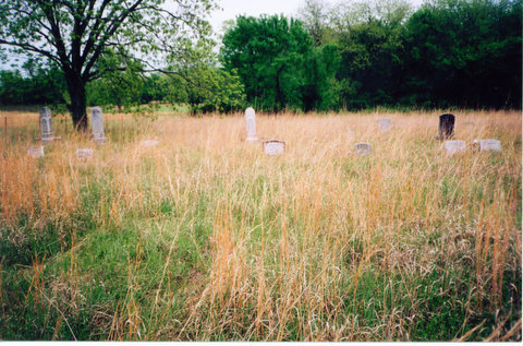
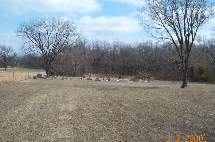
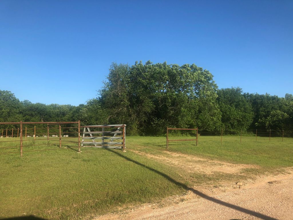
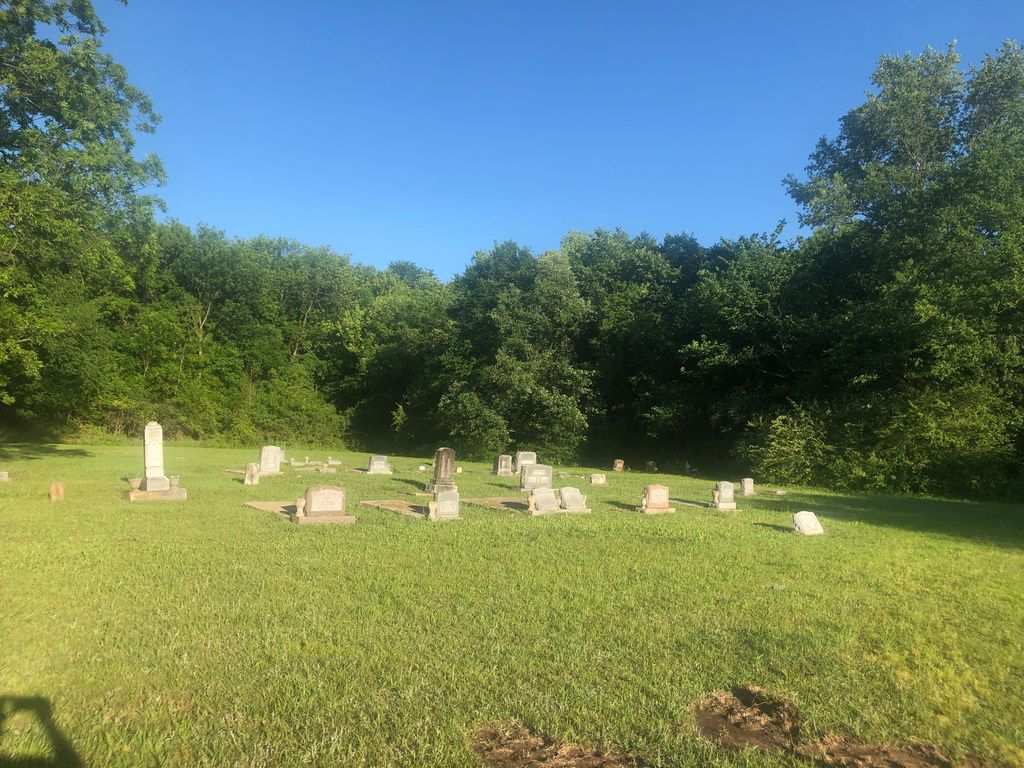
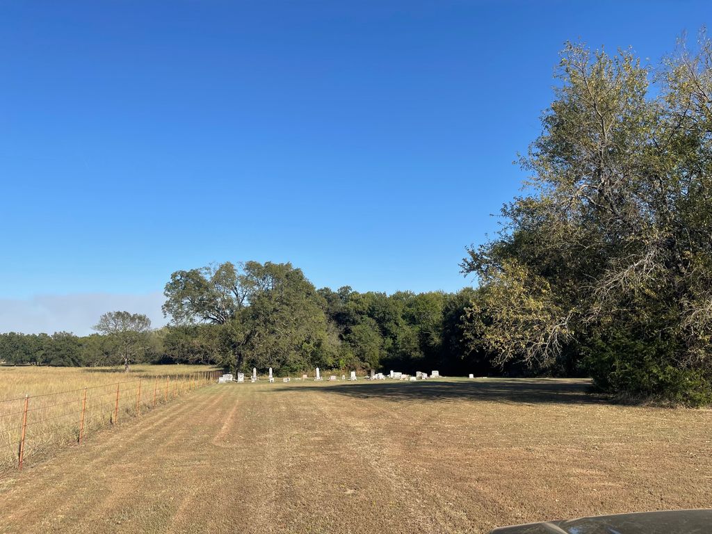
| Description | : | The Mt. Zion Cemetery, was originally the cemetery associated with the Mt. Zion Baptist Church, of Seminole County, OK. The church, at one time, was pastored by the Reverend Eucum Bruner. Rev. Bruner (of family relation), would marry, baptize, and bury many persons in the Afro/Black Seminole Native and African-American communities of Seminole County, OK, and the surrounding counties. Over the years, the cemetery would also become known as the Edwards/Bruner Cemetery. It is located near the community of what is now known as Little, OK (historically, the community therein, was known as the community of "Turkey Creek"). This... Read More |
frequently asked questions (FAQ):
-
Where is Mount Zion Cemetery?
Mount Zion Cemetery is located at Little, Seminole County ,Oklahoma ,USA.
-
Mount Zion Cemetery cemetery's updated grave count on graveviews.com?
0 memorials
-
Where are the coordinates of the Mount Zion Cemetery?
Latitude: 35.3442001
Longitude: -96.7055969
Nearby Cemetories:
1. Payne Cemetery
Seminole County, USA
Coordinate: 35.3553009, -96.7005997
2. Little Cemetery
Little, Seminole County, USA
Coordinate: 35.3472290, -96.6706772
3. Plenty Fay Family Cemetery
Seminole, Seminole County, USA
Coordinate: 35.3922005, -96.6656036
4. Neal Cemetery
Earlsboro, Pottawatomie County, USA
Coordinate: 35.3260994, -96.7885971
5. Snake Creek Indian Baptist Church Cemetery #2
Little, Seminole County, USA
Coordinate: 35.3403831, -96.6177108
6. Snake Creek Cemetery
Seminole County, USA
Coordinate: 35.3405000, -96.6177000
7. Keokuk Cemetery
Keokuk Falls, Pottawatomie County, USA
Coordinate: 35.4117012, -96.6380997
8. McKosato Cemetery
Pottawatomie County, USA
Coordinate: 35.4294014, -96.7300034
9. Garden Grove Cemetery
Pottawatomie County, USA
Coordinate: 35.4199000, -96.7715000
10. Harjo Cemetery
Seminole, Seminole County, USA
Coordinate: 35.2989800, -96.6011700
11. Hitchitee Church Cemetery
Seminole, Seminole County, USA
Coordinate: 35.3536800, -96.5826100
12. Earlsboro Cemetery
Earlsboro, Pottawatomie County, USA
Coordinate: 35.2832260, -96.8070000
13. McKosta Cemetery
Pottawatomie County, USA
Coordinate: 35.4225006, -96.7928009
14. Earlsboro Cemetery
Earlsboro, Pottawatomie County, USA
Coordinate: 35.2752000, -96.8056000
15. Dalton Family Cemetery
Centerview, Pottawatomie County, USA
Coordinate: 35.4476000, -96.6651000
16. Giles Cemetery
Pottawatomie County, USA
Coordinate: 35.4342003, -96.6303024
17. Maple Grove Cemetery
Seminole, Seminole County, USA
Coordinate: 35.2344017, -96.6856003
18. Barney C Coker Family Cemetery
Seminole, Seminole County, USA
Coordinate: 35.2336575, -96.6788507
19. Kernal Family Cemetery
Seminole, Seminole County, USA
Coordinate: 35.2313200, -96.7085300
20. Kinnelworth Cemetery
Seminole, Seminole County, USA
Coordinate: 35.2428017, -96.6418991
21. Joe Nadeau Family Cemetery
Earlsboro, Pottawatomie County, USA
Coordinate: 35.2463939, -96.7897261
22. Czech National Cemetery
Prague, Lincoln County, USA
Coordinate: 35.4631004, -96.6639023
23. Johnson Cemetery
Econtuchka, Pottawatomie County, USA
Coordinate: 35.4055000, -96.8428000
24. Sweutka Cemetery
Seminole County, USA
Coordinate: 35.2366982, -96.6172028