| Memorials | : | 6 |
| Location | : | Hicks, Washington County, USA |
| Coordinate | : | 35.9415320, -94.0467450 |
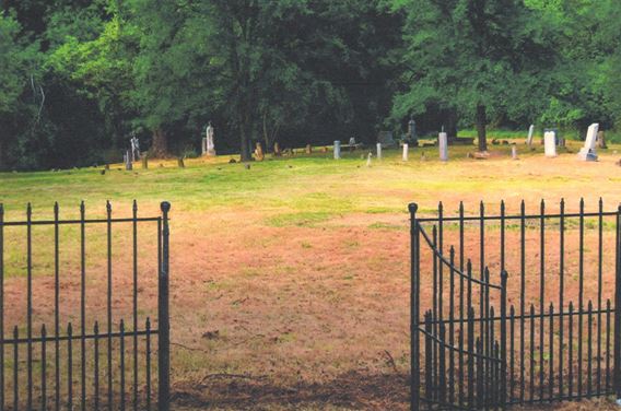
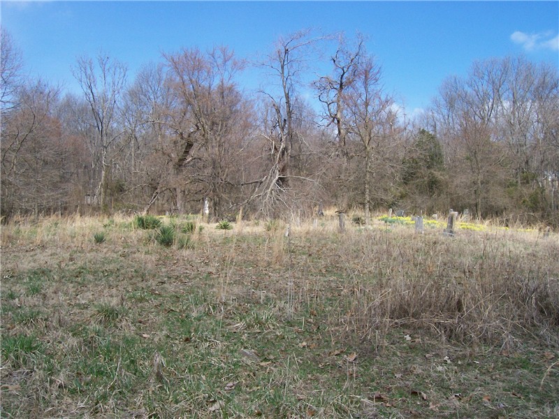
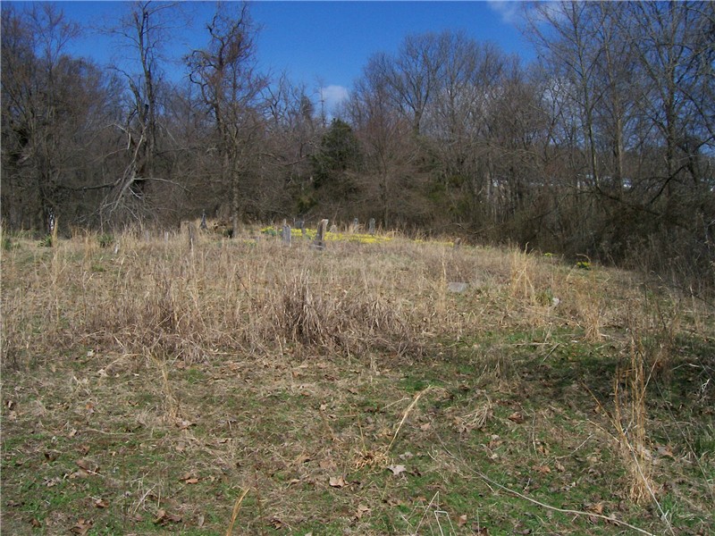
| Description | : | Mount Zion Cemetery is 1.6 miles south of Sulphur City and at the old community of Hicks (aka Carter or Carter's Store), on the north side of the McCord Road and County Road 74 intersection. The last reading of this cemetery was done 12 Nov 1980 by George and Bitsey Crabtree and Bertley and Dorothy Clutter. They noted 60 field stones in their reading, in addition to the named headstones. Washington County history reveals that the Jones family owned the property and had built a church at the cemetery location. This was likely the Rev Riley Jones and his... Read More |
frequently asked questions (FAQ):
-
Where is Mount Zion Cemetery?
Mount Zion Cemetery is located at Washington Co. Rd 74 & McCord Rd Hicks, Washington County ,Arkansas ,USA.
-
Mount Zion Cemetery cemetery's updated grave count on graveviews.com?
5 memorials
-
Where are the coordinates of the Mount Zion Cemetery?
Latitude: 35.9415320
Longitude: -94.0467450
Nearby Cemetories:
1. Reese Cemetery
Hicks, Washington County, USA
Coordinate: 35.9491997, -94.0558014
2. Roberson Cemetery
Sulphur City, Washington County, USA
Coordinate: 35.9179993, -94.0530014
3. Mount Salem Cemetery
Sulphur City, Washington County, USA
Coordinate: 35.9702960, -94.0274870
4. Whitehouse Cemetery
Arnett, Washington County, USA
Coordinate: 35.8967056, -94.0396423
5. McCord Cemetery
Elkins, Washington County, USA
Coordinate: 35.9689160, -94.0018230
6. Mason Cemetery
Washington County, USA
Coordinate: 35.9825210, -94.0739320
7. Boone Cemetery
Elkins, Washington County, USA
Coordinate: 35.9822700, -94.0040600
8. Malloy Cemetery
Durham, Washington County, USA
Coordinate: 35.9530300, -93.9802300
9. Lewis Family Cemetery
Elkins, Washington County, USA
Coordinate: 35.9895300, -94.0068700
10. Kings Cemetery
Washington County, USA
Coordinate: 35.9939003, -94.0777969
11. Thomas Cemetery
Elkins, Washington County, USA
Coordinate: 36.0014400, -94.0151200
12. Shumate Cemetery
Washington County, USA
Coordinate: 35.9300003, -93.9644012
13. Union Point Cemetery
Durham, Washington County, USA
Coordinate: 35.8930960, -93.9870280
14. Nickell Cemetery
Durham, Washington County, USA
Coordinate: 35.8900100, -93.9864700
15. Burkhead Cemetery
Washington County, USA
Coordinate: 36.0125008, -94.0391998
16. Mineral Springs Cemetery
West Fork, Washington County, USA
Coordinate: 35.9264980, -94.1349980
17. Harris Community Cemetery
Harris, Washington County, USA
Coordinate: 36.0164000, -94.0389000
18. Strain Cemetery
Strain, Washington County, USA
Coordinate: 36.0151030, -94.0658440
19. Stokenbury Cemetery
Elkins, Washington County, USA
Coordinate: 36.0144005, -94.0077972
20. Hazel Valley Cemetery
Hazel Valley, Washington County, USA
Coordinate: 35.8607930, -93.9926360
21. Alison Cemetery
Washington County, USA
Coordinate: 36.0302500, -94.0155400
22. Joseph Samuel Wilson Farm Cemetery
Washington County, USA
Coordinate: 35.9975470, -94.1403760
23. Baldwin Cemetery
Baldwin, Washington County, USA
Coordinate: 36.0340700, -94.0775900
24. Mount Olive Cemetery
Elkins, Washington County, USA
Coordinate: 35.9996370, -93.9516880


