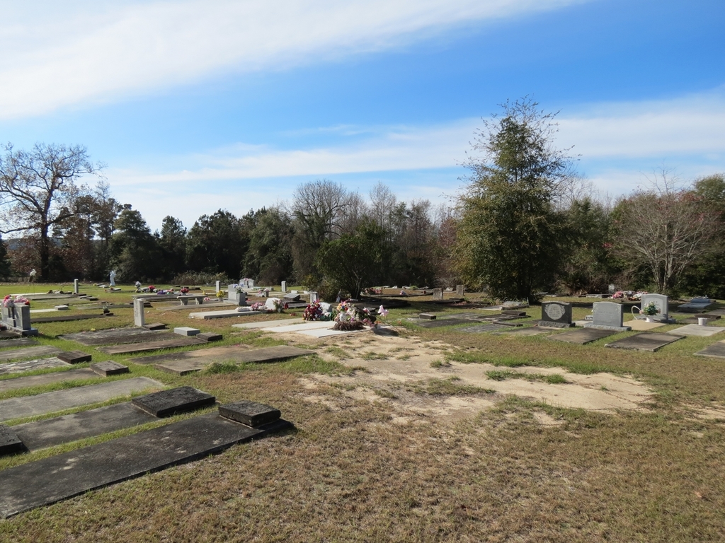
| Memorials | : | 0 |
| Location | : | Days Crossroads, Clay County, USA |
| Coordinate | : | 31.7553730, -85.0485560 |
| Description | : | Where Hatcher Road Dead Ends in Clay County. You will see house and the road is named after the church |
frequently asked questions (FAQ):
-
Where is Mount Zion Church Cemetery #2?
Mount Zion Church Cemetery #2 is located at Days Crossroads, Clay County ,Georgia ,USA.
-
Mount Zion Church Cemetery #2 cemetery's updated grave count on graveviews.com?
0 memorials
-
Where are the coordinates of the Mount Zion Church Cemetery #2?
Latitude: 31.7553730
Longitude: -85.0485560
Nearby Cemetories:
1. Midway Cemetery
Clay County, USA
Coordinate: 31.7618999, -85.0744019
2. New Hope Church Cemetery
Fort Gaines, Clay County, USA
Coordinate: 31.7468640, -85.0795520
3. Emanuel AME Church Cemetery
Fort Gaines, Clay County, USA
Coordinate: 31.7203160, -85.0468890
4. New Lowell Cemetery
Clay County, USA
Coordinate: 31.7297001, -85.0916977
5. Saint James Cemetery
Clay County, USA
Coordinate: 31.7786007, -85.1035995
6. Macedonia Baptist Church Cemetery
Fort Gaines, Clay County, USA
Coordinate: 31.6978470, -85.0878530
7. Shiloh Cemetery
Clay County, USA
Coordinate: 31.7294006, -84.9661026
8. Mount Gilead Cemetery
Clay County, USA
Coordinate: 31.6777992, -85.0083008
9. Free Gift A.M.E. Church Cemetery
Screamer, Henry County, USA
Coordinate: 31.7192810, -85.1493640
10. Campground Cemetery
Clay County, USA
Coordinate: 31.6557999, -85.0242004
11. Old Judson Cemetery
Henry County, USA
Coordinate: 31.6842003, -85.1402969
12. Mount Olive Missionary Baptist Church Cemetery
Henry County, USA
Coordinate: 31.7336006, -85.1722031
13. Bethel Church Cemetery #2
Clay County, USA
Coordinate: 31.6797860, -84.9584260
14. Sardis Cemetery
Terese, Barbour County, USA
Coordinate: 31.8006001, -85.1669006
15. United Methodist Church Cemetery
Eufaula, Barbour County, USA
Coordinate: 31.7800007, -85.1772003
16. Liberty Cemetery
Otho, Henry County, USA
Coordinate: 31.6928005, -85.1594009
17. Griffin Family Cemetery
Eufaula, Barbour County, USA
Coordinate: 31.7887300, -85.1792900
18. Lakeside Christian Fellowship Church Cemetery
Screamer, Henry County, USA
Coordinate: 31.6528150, -85.1130210
19. Chester Chapel Cemetery
Screamer, Henry County, USA
Coordinate: 31.7189007, -85.1791992
20. Singletary Cemetery
Clay County, USA
Coordinate: 31.6583004, -84.9682999
21. Sandville Missionary Baptist Church Cemetery
Eufaula, Barbour County, USA
Coordinate: 31.7688430, -85.1908620
22. Pecan Cemetery
Clay County, USA
Coordinate: 31.6403008, -84.9882965
23. Rose Hill Cemetery
Fort Gaines, Clay County, USA
Coordinate: 31.6107998, -85.0449982
24. Hunter-Merrill Family Cemetery
Eufaula, Barbour County, USA
Coordinate: 31.8801280, -85.1359970

