
| Memorials | : | 20 |
| Location | : | Knottsville, Daviess County, USA |
| Coordinate | : | 37.8006600, -86.9469600 |
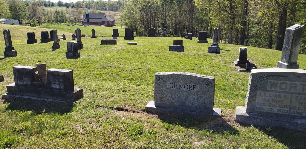
| Description | : | In two sections, both visible from the church. Not to be confused with Winkler Cemetery, 100 yards away |
frequently asked questions (FAQ):
-
Where is Mount Zion Presbyterian Church Cemetery?
Mount Zion Presbyterian Church Cemetery is located at Knottsville, Daviess County ,Kentucky ,USA.
-
Mount Zion Presbyterian Church Cemetery cemetery's updated grave count on graveviews.com?
20 memorials
-
Where are the coordinates of the Mount Zion Presbyterian Church Cemetery?
Latitude: 37.8006600
Longitude: -86.9469600
Nearby Cemetories:
1. Winkler Cemetery
Knottsville, Daviess County, USA
Coordinate: 37.7989006, -86.9452972
2. Bell Cemetery
Spice Knob, Daviess County, USA
Coordinate: 37.8067017, -86.9578018
3. Shouse Family Cemetery
Spice Knob, Daviess County, USA
Coordinate: 37.8198800, -86.9602600
4. Bethlehem United Methodist Church Cemetery
Daviess County, USA
Coordinate: 37.8274600, -86.9352000
5. Pleasant Valley Christian Church Cemetery
Knottsville, Daviess County, USA
Coordinate: 37.7682991, -86.9546967
6. Saint William Cemetery
Knottsville, Daviess County, USA
Coordinate: 37.7749050, -86.9086010
7. South Hampton Church Cemetery
Owensboro, Daviess County, USA
Coordinate: 37.7813000, -86.9927300
8. Hawes-Taylor Cemetery
Yelvington, Daviess County, USA
Coordinate: 37.8466988, -86.9700012
9. Glover Cemetery
Yelvington, Daviess County, USA
Coordinate: 37.8493996, -86.9610977
10. Thruston Cemetery
Thruston, Daviess County, USA
Coordinate: 37.7991100, -87.0221200
11. Yelvington Cemetery
Yelvington, Daviess County, USA
Coordinate: 37.8578970, -86.9690020
12. Roberts Cemetery
Knottsville, Daviess County, USA
Coordinate: 37.8231010, -86.8764038
13. Webber Cemetery
Yelvington, Daviess County, USA
Coordinate: 37.8588982, -86.9257965
14. Gabbert Family Plot
Philpot, Daviess County, USA
Coordinate: 37.7406080, -86.9639350
15. Green Chapel Baptist Cemetery
Yelvington, Daviess County, USA
Coordinate: 37.8600800, -86.9710300
16. Higdon Farm Cemetery
Knottsville, Daviess County, USA
Coordinate: 37.7846100, -86.8651900
17. Bryant Cemetery
Yelvington, Daviess County, USA
Coordinate: 37.8656006, -86.9225006
18. Pleasant Grove United Methodist Church Cemetery
Philpot, Daviess County, USA
Coordinate: 37.7457800, -86.9984500
19. Adcock-Pursell-Simpson Cemetery
Philpot, Daviess County, USA
Coordinate: 37.7323390, -86.9503300
20. Saint Lawrence Cemetery
Knottsville, Daviess County, USA
Coordinate: 37.7638700, -86.8716000
21. Cooper-Puckett Cemetery
Lewisport, Hancock County, USA
Coordinate: 37.8370132, -86.8701319
22. Gatewood Cemetery
Daviess County, USA
Coordinate: 37.8331000, -86.8659800
23. Providence United Methodist Cemetery
Philpot, Daviess County, USA
Coordinate: 37.7320800, -86.9198200
24. Iron Ore Hill Cemetery
Maceo, Daviess County, USA
Coordinate: 37.8736687, -86.9373016