
| Memorials | : | 112 |
| Location | : | Roxand Township, Eaton County, USA |
| Coordinate | : | 42.6919160, -84.8958020 |
frequently asked questions (FAQ):
-
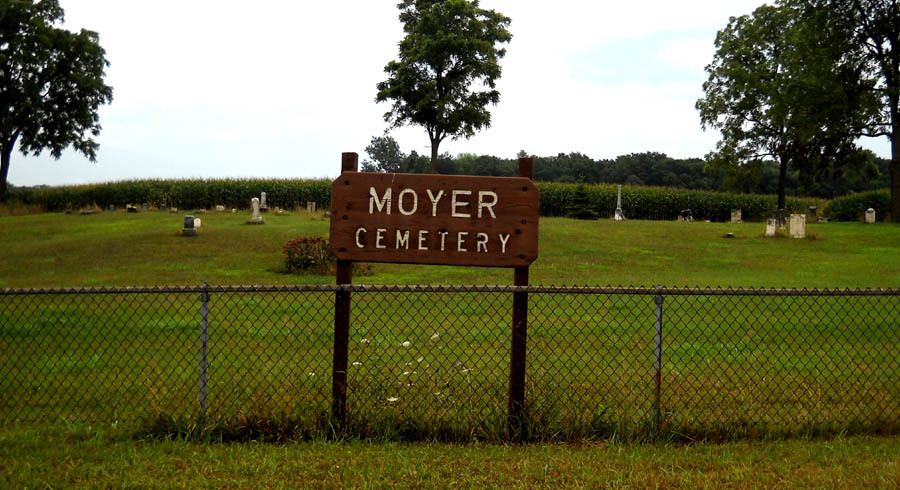
Where is Moyer Cemetery?
Moyer Cemetery is located at 8600 Mulliken Road Roxand Township, Eaton County ,Michigan , 48861USA.
-
Moyer Cemetery cemetery's updated grave count on graveviews.com?
112 memorials
-
Where are the coordinates of the Moyer Cemetery?
Latitude: 42.6919160
Longitude: -84.8958020
Nearby Cemetories:
1. Needmore Cemetery
Needmore, Eaton County, USA
Coordinate: 42.6829010, -84.8430130
2. Meadowbrook Cemetery
Mulliken, Eaton County, USA
Coordinate: 42.7550011, -84.9028015
3. Gresham Cemetery
Chester Township, Eaton County, USA
Coordinate: 42.6278000, -84.8938980
4. Welch Cemetery
Sunfield, Eaton County, USA
Coordinate: 42.7174988, -84.9766998
5. Freemire Cemetery
Sunfield, Eaton County, USA
Coordinate: 42.6852989, -84.9961014
6. Ames Cemetery
Vermontville, Eaton County, USA
Coordinate: 42.6411018, -84.9741974
7. Sunfield Cemetery
Sunfield, Eaton County, USA
Coordinate: 42.7277985, -84.9907990
8. Rest Haven Cemetery
Charlotte, Eaton County, USA
Coordinate: 42.6217420, -84.9563380
9. Strange Cemetery
Grand Ledge, Eaton County, USA
Coordinate: 42.6952800, -84.7783300
10. Pinch Cemetery
Benton Township, Eaton County, USA
Coordinate: 42.6552770, -84.7877770
11. Union Cemetery
Grand Ledge, Eaton County, USA
Coordinate: 42.7670050, -84.8187450
12. Patterson Cemetery
Vermontville, Eaton County, USA
Coordinate: 42.6652985, -85.0327988
13. Danby Cemetery
Danby Township, Ionia County, USA
Coordinate: 42.7989006, -84.8983002
14. Ingalls Gravesite
Sebewa Corners, Ionia County, USA
Coordinate: 42.7925000, -84.9574500
15. Shimnecon Cemetery
Portland, Ionia County, USA
Coordinate: 42.8055220, -84.9070270
16. Pioneer Cemetery
Grand Ledge, Eaton County, USA
Coordinate: 42.7043991, -84.7414017
17. Millerburg Cemetery
Carmel Township, Eaton County, USA
Coordinate: 42.5783348, -84.8752213
18. Benton Township Cemetery
Potterville, Eaton County, USA
Coordinate: 42.6263885, -84.7638855
19. Cogsdill Cemetery
Kalamo, Eaton County, USA
Coordinate: 42.5817470, -84.9747850
20. Maple Hill Cemetery
Charlotte, Eaton County, USA
Coordinate: 42.5797005, -84.8218994
21. Immanuel Lutheran Memorial Garden
Grand Ledge, Eaton County, USA
Coordinate: 42.7436580, -84.7388540
22. Hager Cemetery
Kalamo, Eaton County, USA
Coordinate: 42.6844440, -85.0683330
23. Vermontville Pioneer Cemetery
Vermontville, Eaton County, USA
Coordinate: 42.5980000, -84.7760000
24. Woodlawn Cemetery
Vermontville, Eaton County, USA
Coordinate: 42.6363983, -85.0547028