| Memorials | : | 1 |
| Location | : | Jordan Run, Grant County, USA |
| Coordinate | : | 39.1161900, -79.1678100 |
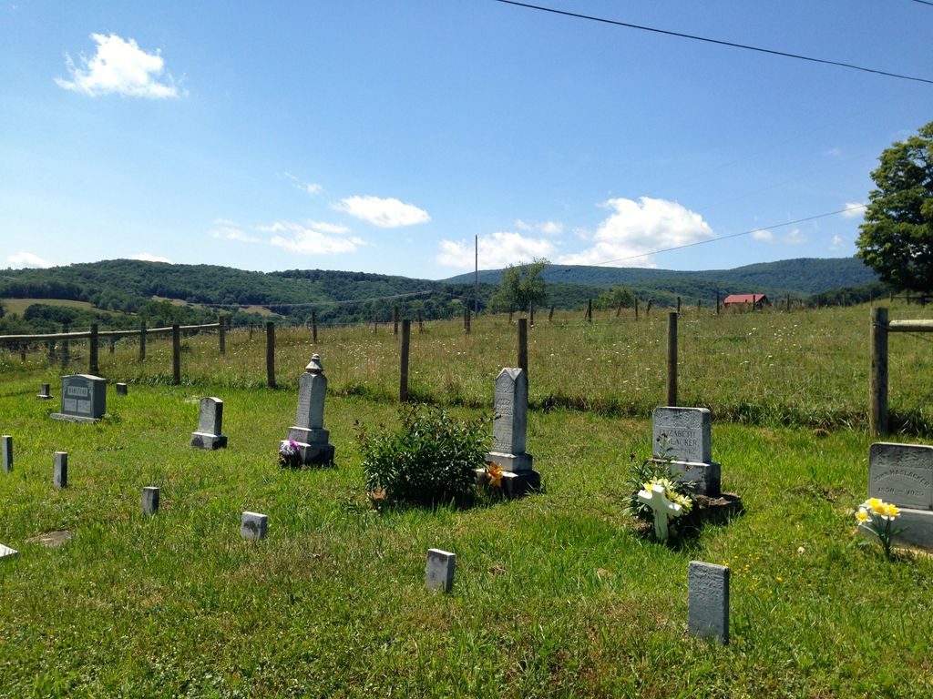
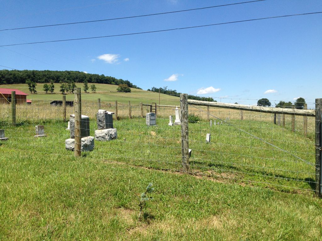
| Description | : | Muntzing Cemetery Enter Jordan Run Road from Rt 42 and travel 2 mile. turn right on the Dutch Hill/Stoney River Dam Road. The cemetery is on the right side of the road in front of the former Rohrbaugh home. This info came from Ruth & Twila Hesse. This site was probably chosen by the children of Caspar Hamstead who possibly was the first person to be buried here. This was the farm he and his wife Magdalene came to and bought after coming to America from Germany in 1841. Their graves are located between those of Mary Muntzing... Read More |
frequently asked questions (FAQ):
-
Where is Muntzing Cemetery?
Muntzing Cemetery is located at Stoney River Dam Road Jordan Run, Grant County ,West Virginia ,USA.
-
Muntzing Cemetery cemetery's updated grave count on graveviews.com?
1 memorials
-
Where are the coordinates of the Muntzing Cemetery?
Latitude: 39.1161900
Longitude: -79.1678100
Nearby Cemetories:
1. Evans Family Cemetery
Maysville, Grant County, USA
Coordinate: 39.1161900, -79.1678100
2. May Cemetery
Maysville, Grant County, USA
Coordinate: 39.1161100, -79.1653130
3. Franz Cemetery
Maysville, Grant County, USA
Coordinate: 39.1182500, -79.1664300
4. Maysville Cemetery
Maysville, Grant County, USA
Coordinate: 39.1131400, -79.1671900
5. Groves Family Cemetery
Maysville, Grant County, USA
Coordinate: 39.1189670, -79.1521790
6. Mountain Top Cemetery
Maysville, Grant County, USA
Coordinate: 39.0988670, -79.1981410
7. Keplinger Cemetery
Maysville, Grant County, USA
Coordinate: 39.1291430, -79.1284920
8. Simon P. Idleman Cemetery
Maysville, Grant County, USA
Coordinate: 39.1374260, -79.2031220
9. Smith Cemetery
Jordan Run, Grant County, USA
Coordinate: 39.1253480, -79.2160060
10. Hawk Family Cemetery
Scherr, Grant County, USA
Coordinate: 39.1529830, -79.2032690
11. Keplinger Cemetery
Kline Gap, Grant County, USA
Coordinate: 39.0795060, -79.2052770
12. Whetzel Family Cemetery
Grant County, USA
Coordinate: 39.0962490, -79.1060470
13. Tucker Family Cemetery
Falls, Grant County, USA
Coordinate: 39.1622110, -79.1246510
14. Mount Carmel United Methodist Church Cemetery
Arthur, Grant County, USA
Coordinate: 39.0810900, -79.1100900
15. Burgess-Hedrick Cemetery
Maysville, Grant County, USA
Coordinate: 39.0815470, -79.2293900
16. Lahmansville Cemetery
Lahmansville, Grant County, USA
Coordinate: 39.1309300, -79.0802900
17. Markwood Cemetery
Scherr, Grant County, USA
Coordinate: 39.1897960, -79.1598150
18. Idleman Cemetery
Scherr, Grant County, USA
Coordinate: 39.1911840, -79.1769200
19. Mount Hebron Cemetery
Maysville, Grant County, USA
Coordinate: 39.0402985, -79.1727982
20. George Sanford Leatherman Cemetery
Tucker County, USA
Coordinate: 39.0400000, -79.2300000
21. Geisert Cemetery
Scherr, Grant County, USA
Coordinate: 39.2056313, -79.2037201
22. Goldizen Family Cemetery 2
Jordan Run, Grant County, USA
Coordinate: 39.0489750, -79.2530100
23. Sions Cemetery
Grant County, USA
Coordinate: 39.1339900, -79.0377100
24. Kitzmiller Cemetery
Bismarck, Grant County, USA
Coordinate: 39.2115990, -79.2252340


