
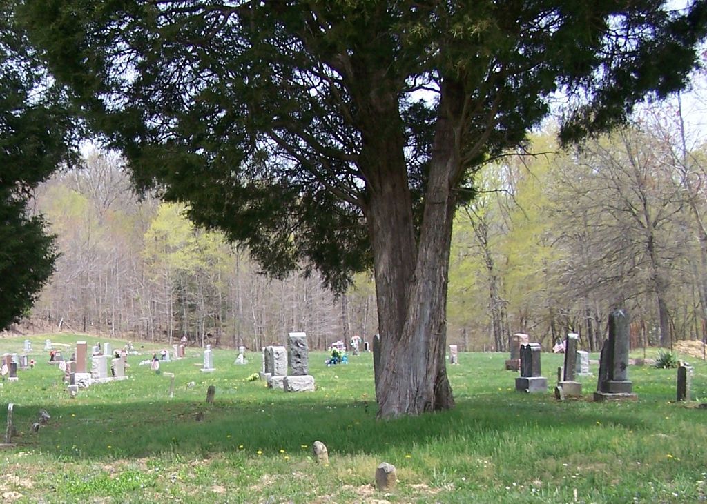
| Memorials | : | 10 |
| Location | : | Rarden, Scioto County, USA |
| Coordinate | : | 38.9564018, -83.2600021 |
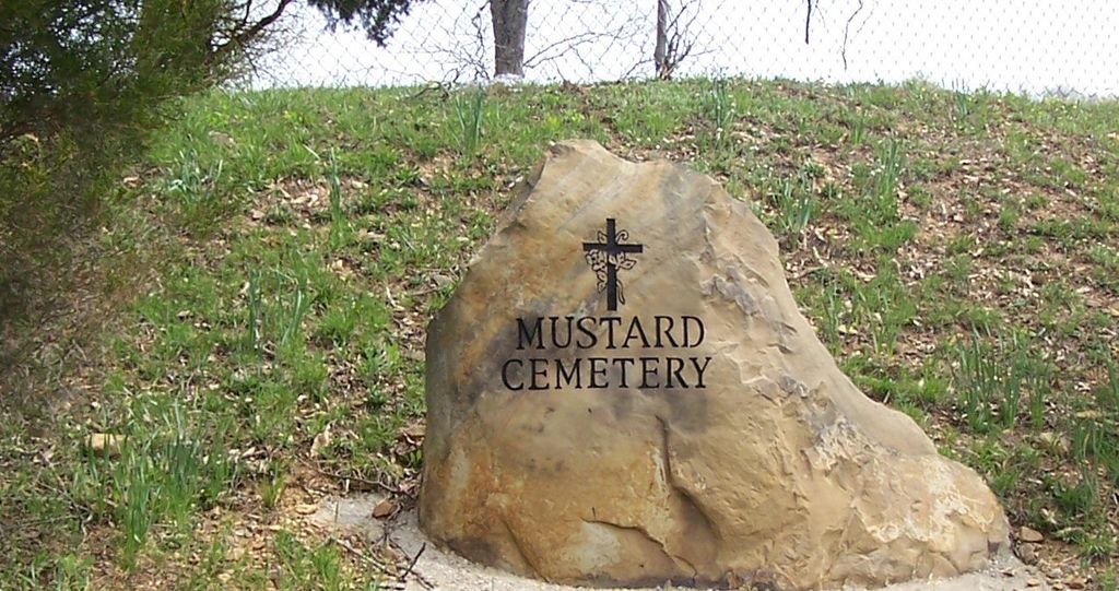
| Description | : | The cemetery is located on the north side of Rarden Creek Road (County Road 37) about 1.1 miles northwest of its intersection with Dry Fork Road (County Road 69). The cemetery is located in Rarden Township, Scioto County, Ohio, and is # 10985 (Mustard Cemetery) in “Ohio Cemeteries 1803-2003”, compiled by the Ohio Genealogical Society. The cemetery is registered with the Ohio Division of Real Estate and Professional Licensing (ODRE) as Mustard Cemetery with registration license number CGR.0000981341. The U.S. Geological Survey (USGS) Geographic Names Information System (GNIS) feature ID for the cemetery is 1043747 (Mustard Cemetery). |
frequently asked questions (FAQ):
-
Where is Mustard Cemetery?
Mustard Cemetery is located at 2590 Rarden Creek Road (County Road 37) Rarden, Scioto County ,Ohio , 45671USA.
-
Mustard Cemetery cemetery's updated grave count on graveviews.com?
9 memorials
-
Where are the coordinates of the Mustard Cemetery?
Latitude: 38.9564018
Longitude: -83.2600021


Nearby Cemetories:
1. Newman Cemetery
Peebles, Adams County, USA
Coordinate: 38.9333000, -83.2743988
2. Jaybird Cemetery
Franklin Township, Adams County, USA
Coordinate: 38.9392380, -83.3012977
3. Hackworth Hill Cemetery
Rarden Township, Scioto County, USA
Coordinate: 38.9362610, -83.2124440
4. Old Hackworth Cemetery
Rarden, Scioto County, USA
Coordinate: 38.9361000, -83.2121964
5. Mount Joy Christian Church Cemetery
Mount Joy, Scioto County, USA
Coordinate: 38.9502487, -83.2031174
6. Harr Family Cemetery
Rarden Township, Scioto County, USA
Coordinate: 38.9355600, -83.2090100
7. Harmon Cemetery
Rarden Township, Scioto County, USA
Coordinate: 38.9989400, -83.2351170
8. Townsend Family Cemetery
Otway, Scioto County, USA
Coordinate: 38.9291910, -83.2069162
9. Tener Cemetery
Locust Grove, Adams County, USA
Coordinate: 38.9871660, -83.3184166
10. Hackleshin Memorial Cemetery
Peebles, Adams County, USA
Coordinate: 38.9891830, -83.3186500
11. Mount Joy United Presbyterian Cemetery
Mount Joy, Scioto County, USA
Coordinate: 38.9500100, -83.1833200
12. Mount Olive Cemetery
Camp Creek Township, Pike County, USA
Coordinate: 38.9884000, -83.1862900
13. Old Hoffer Hill Cemetery
Rarden Township, Scioto County, USA
Coordinate: 38.8903500, -83.2363700
14. Cotties Corner Cemetery
Piketon, Pike County, USA
Coordinate: 39.0076400, -83.1985330
15. New Hoffer Hill Church Cemetery
Rarden, Scioto County, USA
Coordinate: 38.8864920, -83.2419590
16. Youngs Station Cemetery
Youngs, Scioto County, USA
Coordinate: 38.8972900, -83.2040700
17. Dry Run Cemetery
Youngs, Scioto County, USA
Coordinate: 38.8971540, -83.2042050
18. Aikens Cemetery
Meigs Township, Adams County, USA
Coordinate: 38.8899994, -83.3142014
19. Early Cemetery
Brush Creek Township, Scioto County, USA
Coordinate: 38.8899994, -83.2033005
20. Old Smith Hill Cemetery
Sunfish Township, Pike County, USA
Coordinate: 39.0096360, -83.1787490
21. Smith Hill Cemetery
Hatch, Pike County, USA
Coordinate: 39.0095200, -83.1740700
22. Kidder Cemetery
Camp Creek Township, Pike County, USA
Coordinate: 38.9780670, -83.1534330
23. Cedar Fork Cemetery
Peebles, Adams County, USA
Coordinate: 38.9234045, -83.3626885
24. Sizemore Family Cemetery
Bear Creek, Scioto County, USA
Coordinate: 38.9535100, -83.1449600