
| Memorials | : | 0 |
| Location | : | Montgomery County, USA |
| Coordinate | : | 38.0127300, -83.8208500 |
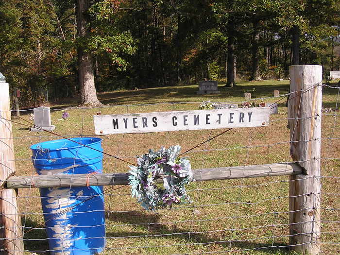
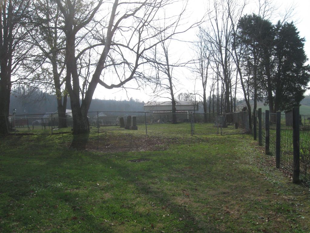
| Description | : | Located on land once owned by Henry & Hannah Miller Myers. They are both buried here. It is also called just the Prewitt Cemetery with the Prewitt and also the McFarlands been later owners of the property. At one time there were two cemeteries and they were seperated by a fence according to family history. Henry purchased the land about 1794 from James Downing. He built a two story red brick house on the property which was taken down around 1900. The Myers-Prewitt Cemetery is located as follows: FROM THE INTERSECTION OF US 460 AND KY 213 NORTH, TAKE 213... Read More |
frequently asked questions (FAQ):
-
Where is Myers Cemetery?
Myers Cemetery is located at Town Branch Road Montgomery County ,Kentucky ,USA.
-
Myers Cemetery cemetery's updated grave count on graveviews.com?
0 memorials
-
Where are the coordinates of the Myers Cemetery?
Latitude: 38.0127300
Longitude: -83.8208500
Nearby Cemetories:
1. Mann Cemetery
Jeffersonville, Montgomery County, USA
Coordinate: 38.0202780, -83.8255560
2. Antioch Christian Church Cemetery
Montgomery County, USA
Coordinate: 38.0222206, -83.8233337
3. Fortune Cemetery
Jeffersonville, Montgomery County, USA
Coordinate: 38.0242004, -83.8161011
4. Johnson-Chambers Cemetery
Montgomery County, USA
Coordinate: 38.0255560, -83.8175000
5. Hammock Cemetery
Jeffersonville, Montgomery County, USA
Coordinate: 37.9988570, -83.8341210
6. Howard Cemetery
Howards Mill, Montgomery County, USA
Coordinate: 38.0315380, -83.8132810
7. Anderson-Reffitt Cemetery
Jeffersonville, Montgomery County, USA
Coordinate: 37.9950000, -83.8058330
8. Hiler Cemetery
Montgomery County, USA
Coordinate: 37.9941670, -83.8427780
9. Gordon Cemetery
Montgomery County, USA
Coordinate: 38.0122220, -83.8558330
10. Sponcil Cemetery
Mount Sterling, Montgomery County, USA
Coordinate: 38.0016670, -83.7858330
11. Faulkner Cemetery
Montgomery County, USA
Coordinate: 38.0408330, -83.8333330
12. Oldfields Cemetery
Mount Sterling, Montgomery County, USA
Coordinate: 37.9850000, -83.8050000
13. Adams Cemetery
Jeffersonville, Montgomery County, USA
Coordinate: 37.9942520, -83.8533430
14. Gibbs Cemetery
Montgomery County, USA
Coordinate: 38.0150000, -83.8647220
15. Prater and Watkins Cemetery
Montgomery County, USA
Coordinate: 37.9983330, -83.8655560
16. Berry Cemetery
Howards Mill, Montgomery County, USA
Coordinate: 38.0483330, -83.8408330
17. Beatty Cemetery
Camargo, Montgomery County, USA
Coordinate: 38.0152780, -83.8708330
18. Chase Cemetery
Jeffersonville, Montgomery County, USA
Coordinate: 37.9867260, -83.8626770
19. Kirkpatrick Cemetery
Camargo, Montgomery County, USA
Coordinate: 38.0141670, -83.8741670
20. Flack Cemetery
Jeffersonville, Montgomery County, USA
Coordinate: 37.9747180, -83.7946560
21. White Cemetery
Howards Mill, Montgomery County, USA
Coordinate: 38.0572220, -83.8122220
22. Nelson Wills Gravesite
Jeffersonville, Montgomery County, USA
Coordinate: 37.9733330, -83.8491670
23. Greenwade Cemetery
Jeffersonville, Montgomery County, USA
Coordinate: 37.9762730, -83.8550440
24. Trimble and Cheatham Cemetery
Jeffersonville, Montgomery County, USA
Coordinate: 37.9865080, -83.8703750