
| Memorials | : | 0 |
| Location | : | German, Chenango County, USA |
| Coordinate | : | 42.4946000, -75.8046600 |
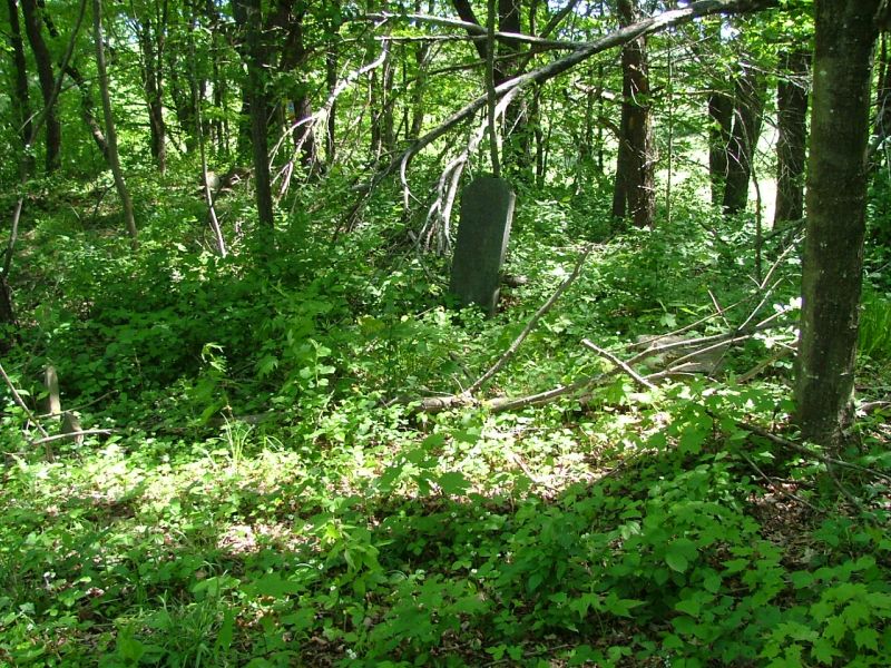
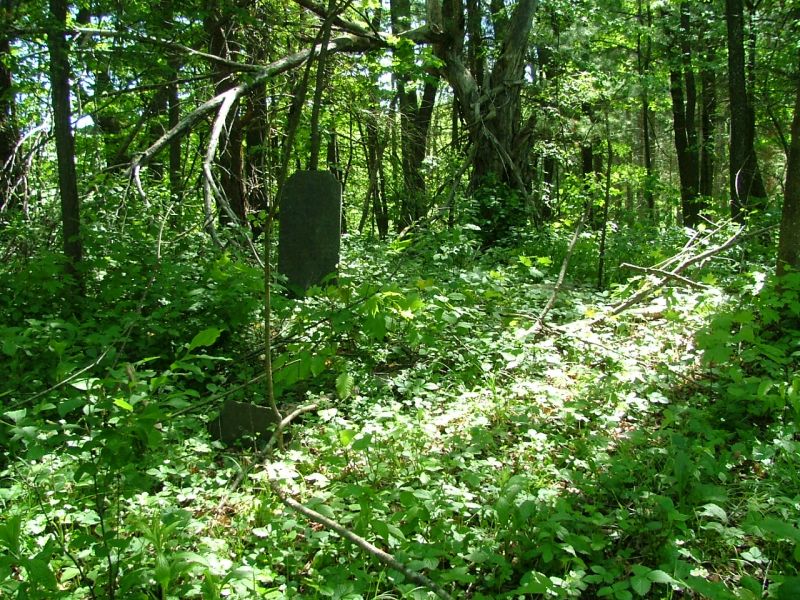
| Description | : | Also referred to as the Banks Farm Cemetery in some family histories, a later owner of the property. Located on a steep hill, on private property bordering state forest. |
frequently asked questions (FAQ):
-
Where is Nash Cemetery?
Nash Cemetery is located at German, Chenango County ,New York ,USA.
-
Nash Cemetery cemetery's updated grave count on graveviews.com?
0 memorials
-
Where are the coordinates of the Nash Cemetery?
Latitude: 42.4946000
Longitude: -75.8046600
Nearby Cemetories:
1. Ashcraft Cemetery
German, Chenango County, USA
Coordinate: 42.4791985, -75.8153000
2. McDonough Village Union Cemetery
McDonough, Chenango County, USA
Coordinate: 42.4996986, -75.7716980
3. Old Presbyterian Church Cemetery
McDonough, Chenango County, USA
Coordinate: 42.4996800, -75.7683500
4. McDonough-German Town Line Cemetery
German, Chenango County, USA
Coordinate: 42.4666680, -75.7926580
5. Westview Cemetery
German Four Corners, Chenango County, USA
Coordinate: 42.4915650, -75.8614970
6. Ford Cemetery
German, Chenango County, USA
Coordinate: 42.4616700, -75.8419800
7. Harvey Cemetery
Pitcher, Chenango County, USA
Coordinate: 42.5466460, -75.8176810
8. Eddy Cemetery
Smithville Flats, Chenango County, USA
Coordinate: 42.4529100, -75.7512000
9. Skillman Cemetery
Smithville Center, Chenango County, USA
Coordinate: 42.4410200, -75.7743200
10. Perkins Cemetery
Smithville Flats, Chenango County, USA
Coordinate: 42.4417600, -75.7598700
11. Twichell Family Farm Cemetery
East McDonough, Chenango County, USA
Coordinate: 42.5125000, -75.7236110
12. Brackel Church Cemetery
Pitcher, Chenango County, USA
Coordinate: 42.5552780, -75.8391670
13. Kenyon Cemetery
Pitcher, Chenango County, USA
Coordinate: 42.5608330, -75.8255560
14. Dingman Farm Cemetery
Smithville Center, Chenango County, USA
Coordinate: 42.4361110, -75.8527780
15. Lord Burial Plot
Pitcher, Chenango County, USA
Coordinate: 42.5674600, -75.8085800
16. Eaton Hill Plot
Willet, Cortland County, USA
Coordinate: 42.4418800, -75.8767910
17. Lower Cincinnatus Cemetery
Cincinnatus, Cortland County, USA
Coordinate: 42.5336110, -75.8952770
18. Brown Cemetery
Pharsalia, Chenango County, USA
Coordinate: 42.5630560, -75.7502780
19. Beardsley Cemetery
Willet, Cortland County, USA
Coordinate: 42.4510994, -75.8972015
20. Lord Cemetery
Pharsalia, Chenango County, USA
Coordinate: 42.5765100, -75.7873200
21. Burlingame Cemetery
Willet, Cortland County, USA
Coordinate: 42.4681400, -75.9117200
22. Wayside Rest Cemetery
Pharsalia, Chenango County, USA
Coordinate: 42.5779000, -75.7842000
23. Cincinnatus Cemetery
Cincinnatus, Cortland County, USA
Coordinate: 42.5452770, -75.8969440
24. Willet Cemetery
Willet, Cortland County, USA
Coordinate: 42.4686110, -75.9147220