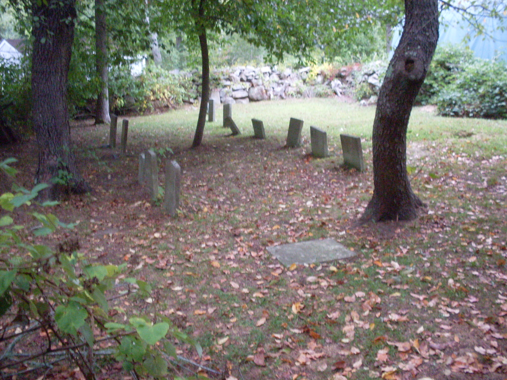
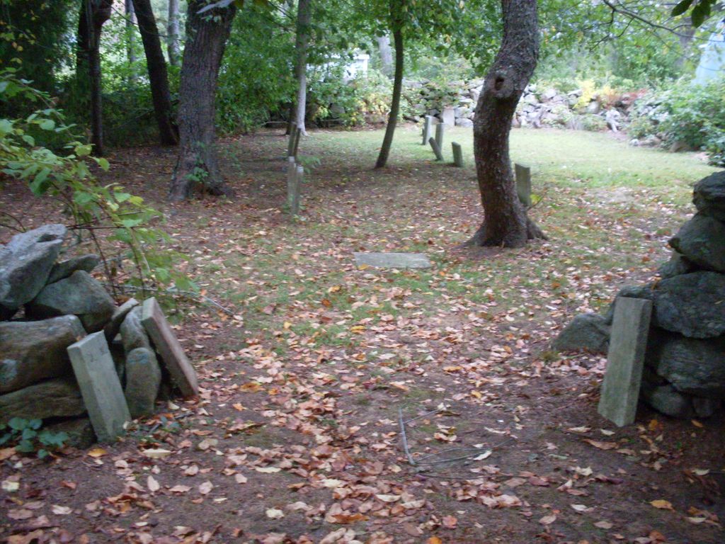
| Memorials | : | 16 |
| Location | : | Dartmouth, Bristol County, USA |
| Coordinate | : | 41.5783600, -70.9522800 |
| Description | : | This burial ground in located on private property. It was established in 1804. The Massachusetts Historical Commission refers to this cemetery in MACRIS as DAR821. This burial place is referenced to in the book "Burials and Burial Places in the town of Dartmouth Massachusetts" by Judith Navas Lund as "Chapter 821 - Nathaniel Howland Cemetery". This burial place is referenced to in the book "Vital Records of Dartmouth, Massachusetts to 1850" Published by: New England Historic Genealogical Society as G.R.18, Nathaniel Howland Family Burying Ground, South Dartmouth. |
frequently asked questions (FAQ):
-
Where is Nathaniel Howland Cemetery?
Nathaniel Howland Cemetery is located at Betw. 3 and 5 Salt Creek Road Dartmouth, Bristol County ,Massachusetts ,USA.
-
Nathaniel Howland Cemetery cemetery's updated grave count on graveviews.com?
16 memorials
-
Where are the coordinates of the Nathaniel Howland Cemetery?
Latitude: 41.5783600
Longitude: -70.9522800
Nearby Cemetories:
1. Akin Cemetery
Dartmouth, Bristol County, USA
Coordinate: 41.5912800, -70.9410100
2. South Dartmouth Cemetery
Dartmouth, Bristol County, USA
Coordinate: 41.5936400, -70.9485200
3. Smith Neck Friends Burial Ground
Dartmouth, Bristol County, USA
Coordinate: 41.5613200, -70.9560200
4. Weeks Family Cemetery
Dartmouth, Bristol County, USA
Coordinate: 41.5733300, -70.9760000
5. Sherman Family Cemetery
Dartmouth, Bristol County, USA
Coordinate: 41.5686100, -70.9761200
6. Crapo Family Cemetery
Dartmouth, Bristol County, USA
Coordinate: 41.5674800, -70.9766100
7. Earl Family Cemetery
Dartmouth, Bristol County, USA
Coordinate: 41.5994200, -70.9644700
8. Methodist Church Cemetery
Dartmouth, Bristol County, USA
Coordinate: 41.6003400, -70.9622700
9. Almy-Briggs-Sanford Family Cemetery
Dartmouth, Bristol County, USA
Coordinate: 41.5984900, -70.9680900
10. Pierce-Lewis Family Cemetery
Dartmouth, Bristol County, USA
Coordinate: 41.5652900, -70.9873100
11. Apponagansett Friends Cemetery
Dartmouth, Bristol County, USA
Coordinate: 41.5846000, -70.9922900
12. Smith Family Cemetery
Dartmouth, Bristol County, USA
Coordinate: 41.5606900, -70.9910300
13. Sambo Slocum Cemetery
Dartmouth, Bristol County, USA
Coordinate: 41.5568700, -70.9931400
14. Clarks Point Cemetery
New Bedford, Bristol County, USA
Coordinate: 41.5983500, -70.9097400
15. Saint Aidans Chapel Memorial Garden
Dartmouth, Bristol County, USA
Coordinate: 41.5393600, -70.9520700
16. Alderbrook Farm Cemetery
Dartmouth, Bristol County, USA
Coordinate: 41.5746769, -71.0060907
17. Great Rock Cemetery
Dartmouth, Bristol County, USA
Coordinate: 41.5727200, -71.0068700
18. Smith Family Cemetery
Dartmouth, Bristol County, USA
Coordinate: 41.5380700, -70.9650400
19. Smith Family Cemetery
Dartmouth, Bristol County, USA
Coordinate: 41.5363600, -70.9509000
20. Baker Family Cemetery
Dartmouth, Bristol County, USA
Coordinate: 41.5635200, -71.0060800
21. Saint Johns Cemetery
New Bedford, Bristol County, USA
Coordinate: 41.6226273, -70.9497070
22. Friends Burying Ground
New Bedford, Bristol County, USA
Coordinate: 41.6215800, -70.9366800
23. DAR855 Cemetery
Dartmouth, Bristol County, USA
Coordinate: 41.5643900, -71.0099400
24. Rural Cemetery
New Bedford, Bristol County, USA
Coordinate: 41.6236229, -70.9397964


