
| Memorials | : | 0 |
| Location | : | Clarendon County, USA |
| Coordinate | : | 33.7220000, -80.0520000 |
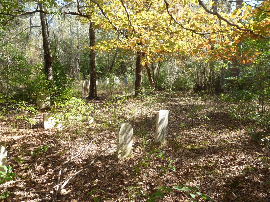
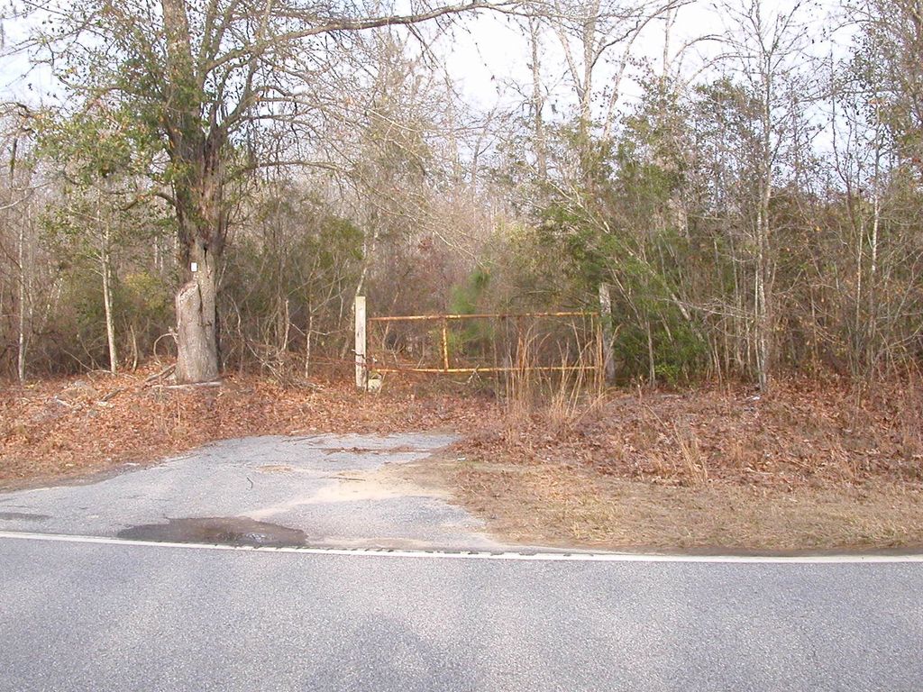
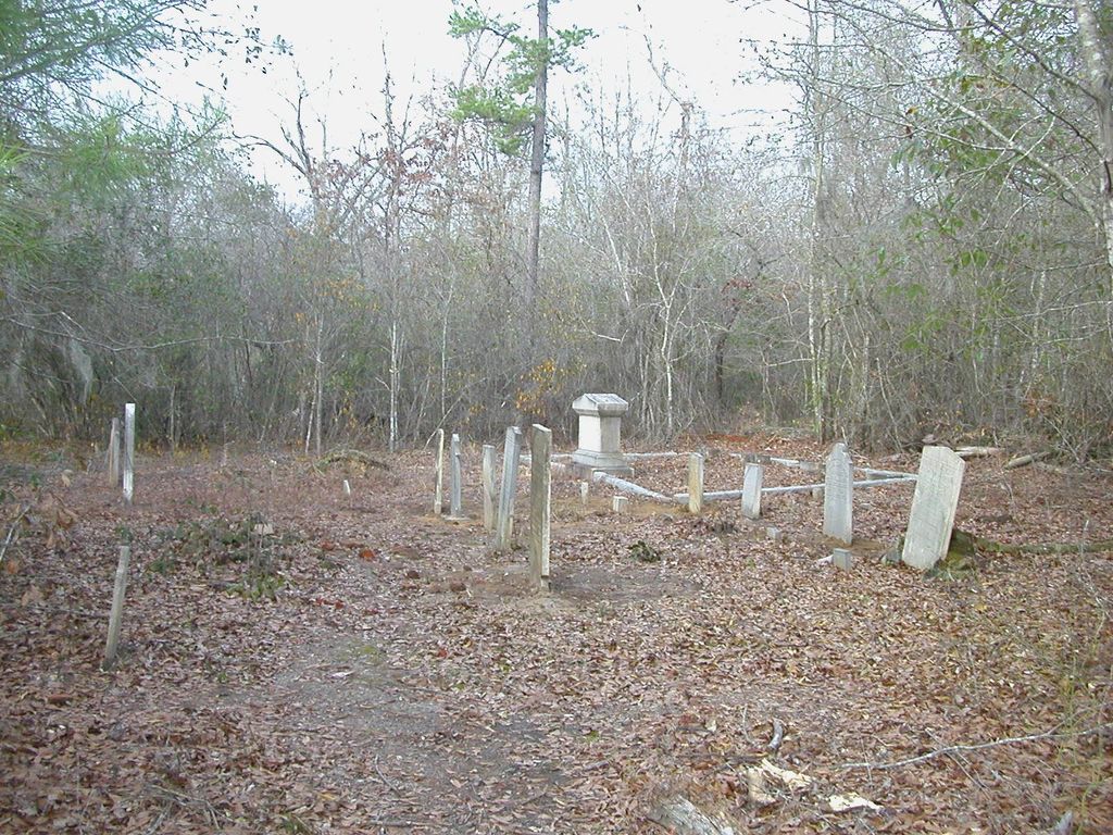
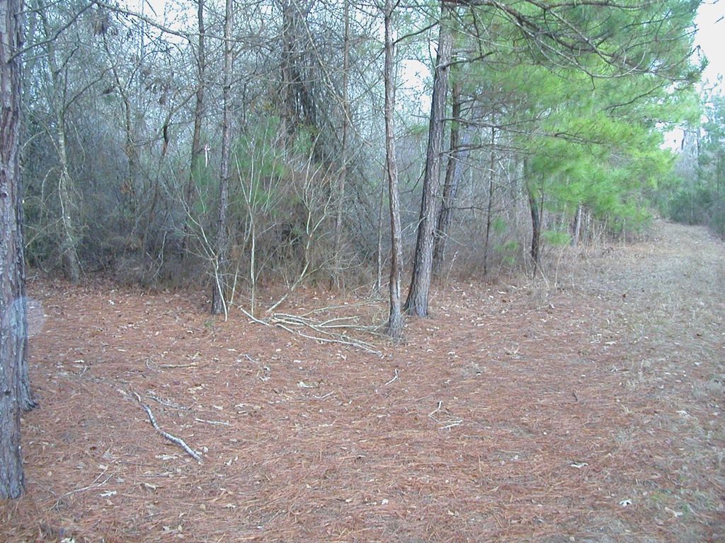
| Description | : | Nelson-Plowden-Haynesworth Cemetery is 1.4 miles north of Brewington Church off N. Brewington Road, in the woods. |
frequently asked questions (FAQ):
-
Where is Nelson-Plowden-Haynsworth Cemetery?
Nelson-Plowden-Haynsworth Cemetery is located at Clarendon County ,South Carolina ,USA.
-
Nelson-Plowden-Haynsworth Cemetery cemetery's updated grave count on graveviews.com?
0 memorials
-
Where are the coordinates of the Nelson-Plowden-Haynsworth Cemetery?
Latitude: 33.7220000
Longitude: -80.0520000

Nearby Cemetories:
1. Brewington Presbyterian Church Cemetery
Clarendon County, USA
Coordinate: 33.7016983, -80.0522003
2. Cypress Fork Freewill Baptist Church Cemetery
Manning, Clarendon County, USA
Coordinate: 33.7423260, -80.0702780
3. Cypress Fork AME Church Cemetery
Alcolu, Clarendon County, USA
Coordinate: 33.7478270, -80.0748960
4. Whack Cemetery
Manning, Clarendon County, USA
Coordinate: 33.6886410, -80.0505980
5. Oliver-Bagnal Cemetery
Manning, Clarendon County, USA
Coordinate: 33.6876690, -80.0528440
6. Live Oak Cemetery
Clarendon County, USA
Coordinate: 33.6869550, -80.0571690
7. Biggers AME Church Cemetery
Clarendon County, USA
Coordinate: 33.6910190, -80.0738840
8. Lodabar AME Church
New Zion, Clarendon County, USA
Coordinate: 33.7536300, -80.0257410
9. Wheeler Family Cemetery
Manning, Clarendon County, USA
Coordinate: 33.6926960, -80.0872080
10. Friendship Presbyterian Church Cemetery
Clarendon County, USA
Coordinate: 33.7604270, -80.0311970
11. Cedar Lane Cemetery
Clarendon County, USA
Coordinate: 33.6885530, -80.0126600
12. Midway Presbyterian Church Cemetery
New Zion, Clarendon County, USA
Coordinate: 33.7671120, -80.0363390
13. Redden Cemetery
Clarendon County, USA
Coordinate: 33.7186940, -79.9948610
14. Muldrow Cemetery
Manning, Clarendon County, USA
Coordinate: 33.6883330, -80.1163490
15. Saint John The Baptist Church Cemetery
Greeleyville, Williamsburg County, USA
Coordinate: 33.6957874, -79.9821820
16. Little Star Pentecostel Holiness Church
Alcolu, Clarendon County, USA
Coordinate: 33.7170770, -80.1343110
17. Lees Cemetery
Clarendon County, USA
Coordinate: 33.7127991, -80.1421967
18. Hodge Cemetery
Manning, Clarendon County, USA
Coordinate: 33.7867012, -80.1006012
19. Union United Methodist Church Cemetery
Manning, Clarendon County, USA
Coordinate: 33.6638840, -80.1185460
20. Mount Vernon United Methodist Church Cemetery
Greeleyville, Williamsburg County, USA
Coordinate: 33.7047005, -79.9561005
21. Saint John AME Church Cemetery
Kingstree, Williamsburg County, USA
Coordinate: 33.7567370, -79.9602970
22. Saint Mark AME Church Cemetery
Alcolu, Clarendon County, USA
Coordinate: 33.7435860, -80.1504090
23. Howard Chapel AME Church Cemetery
New Zion, Clarendon County, USA
Coordinate: 33.8074210, -80.0262700
24. William Chapel Christian Church
Manning, Clarendon County, USA
Coordinate: 33.6741530, -80.1428600