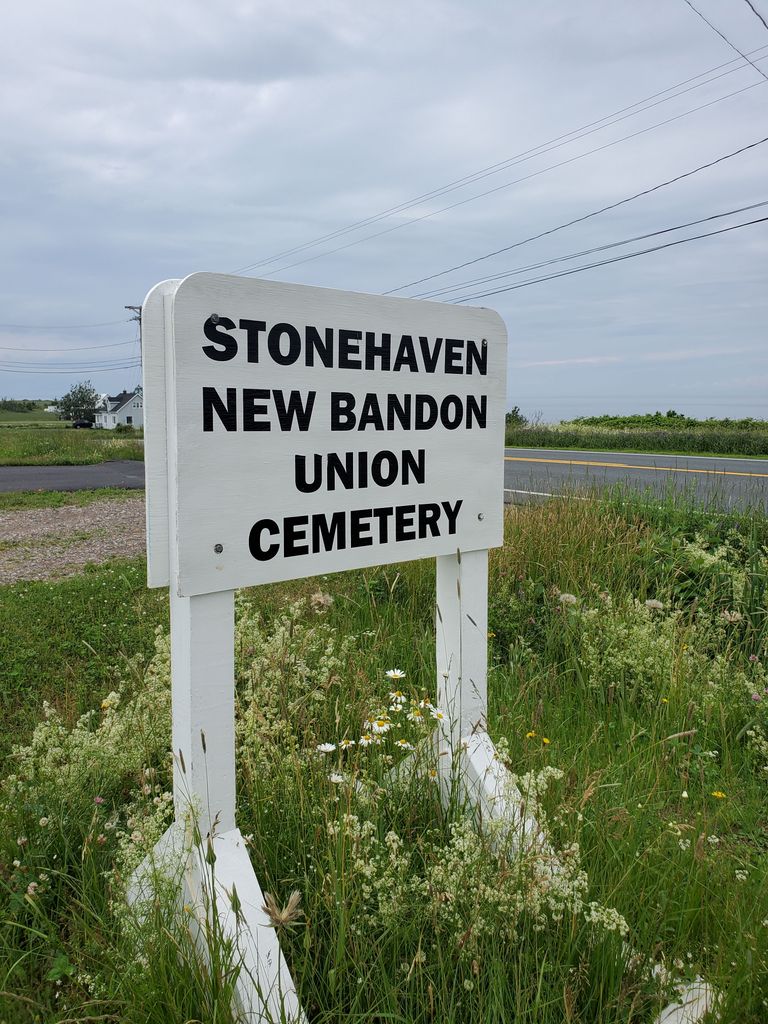
| Memorials | : | 113 |
| Location | : | New Bandon, Gloucester County, Canada |
| Coordinate | : | 47.7560000, -65.3281000 |
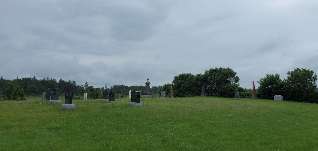
| Description | : | New Bandon Cemetery South side of Highway 11 between Pokeshaw and Stonehaven, N.B. Access is by a gravel lane passing right beside a farm house, past a yard with outbuildings and through a field to a small plateau dotted with grave stones. |
frequently asked questions (FAQ):
-
Where is New Bandon Cemetery?
New Bandon Cemetery is located at Route 11 New Bandon, Gloucester County ,New Brunswick ,Canada.
-
New Bandon Cemetery cemetery's updated grave count on graveviews.com?
113 memorials
-
Where are the coordinates of the New Bandon Cemetery?
Latitude: 47.7560000
Longitude: -65.3281000
Nearby Cemetories:
1. Stonehaven Cemetery
Stonehaven, Gloucester County, Canada
Coordinate: 47.7522400, -65.3507800
2. Christ Church Cemetery
Clifton, Gloucester County, Canada
Coordinate: 47.7302000, -65.3877900
3. Cimetière Sainte-Marguerite-Bourgeoys
Saint-Léolin, Gloucester County, Canada
Coordinate: 47.7644000, -65.1814300
4. Saint Simon et Saint Jude
Grande-Anse, Gloucester County, Canada
Coordinate: 47.8151420, -65.1747540
5. Cimetière Notre-Dame-Auxiliatrice
Notre-Dame-des-Érables, Gloucester County, Canada
Coordinate: 47.6332560, -65.2678050
6. Cimetière Saint-Joachim
Bertrand, Gloucester County, Canada
Coordinate: 47.7486560, -65.0778140
7. Cimetière Saint-Augustin
Paquetville, Gloucester County, Canada
Coordinate: 47.6676590, -65.1066270
8. Cimetière du Bocage
Caraquet, Gloucester County, Canada
Coordinate: 47.7743340, -65.0103260
9. Saint-Theophile Roman Catholic Cemetery
Maisonnette, Gloucester County, Canada
Coordinate: 47.8185500, -65.0114900
10. Spruce Grove Union Cemetery
Bathurst, Gloucester County, Canada
Coordinate: 47.6324200, -65.6068500
11. Saint Albans Cemetery
Bathurst, Gloucester County, Canada
Coordinate: 47.6322800, -65.6069600
12. Highlandview Cemetery
Bathurst, Gloucester County, Canada
Coordinate: 47.6320000, -65.6072200
13. Cimetière Sainte-Bernadette-Soubirous
Saint-Sauveur, Gloucester County, Canada
Coordinate: 47.5254810, -65.2928340
14. United Church Cemetery
Bathurst, Gloucester County, Canada
Coordinate: 47.6183800, -65.6253800
15. Saint Mary's Cemetery
Bathurst, Gloucester County, Canada
Coordinate: 47.6183000, -65.6257000
16. Cimetière Saint-Pierre-aux-Liens
Caraquet, Gloucester County, Canada
Coordinate: 47.7897840, -64.9678210
17. Saint Mary's Cemetery
East Bathurst, Gloucester County, Canada
Coordinate: 47.6079400, -65.6219400
18. Cimetière Thomas-Cooke
Caraquet, Gloucester County, Canada
Coordinate: 47.7890530, -64.9636060
19. Cimetière Gospel Hall Brethern (New Carlisle)
New Carlisle, Gaspesie-Iles-de-la-Madeleine Region, Canada
Coordinate: 48.0051820, -65.3373770
20. Cimetière Knox Presbyterian (New-Carlisle)
New Carlisle, Gaspesie-Iles-de-la-Madeleine Region, Canada
Coordinate: 48.0099770, -65.3287120
21. Knox Presbyterian Church Cemetery
New Carlisle, Gaspesie-Iles-de-la-Madeleine Region, Canada
Coordinate: 48.0101450, -65.3280600
22. Old Saint George's Cemetery
Bathurst, Gloucester County, Canada
Coordinate: 47.6196670, -65.6559720
23. New Carlisle Cemetery East
Bonaventure, Gaspesie-Iles-de-la-Madeleine Region, Canada
Coordinate: 48.0154720, -65.3078950
24. Cimetière St-Étienne (New-Carlisle)
New Carlisle, Gaspesie-Iles-de-la-Madeleine Region, Canada
Coordinate: 48.0158460, -65.3342310


