
| Memorials | : | 0 |
| Location | : | Teals Crossroads, Barbour County, USA |
| Coordinate | : | 31.6509980, -85.5691520 |
frequently asked questions (FAQ):
-
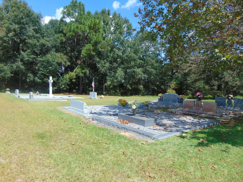
Where is New Hope Congregational Christian Church Cemetery?
New Hope Congregational Christian Church Cemetery is located at Teals Crossroads, Barbour County ,Alabama ,USA.
-
New Hope Congregational Christian Church Cemetery cemetery's updated grave count on graveviews.com?
0 memorials
-
Where are the coordinates of the New Hope Congregational Christian Church Cemetery?
Latitude: 31.6509980
Longitude: -85.5691520


Nearby Cemetories:
1. Concord Congregational Methodist Cemetery
Clio, Barbour County, USA
Coordinate: 31.6212240, -85.5620380
2. Calvary Assembly of God Cemetery
Barbour County, USA
Coordinate: 31.6641388, -85.6091156
3. Salem Baptist Church Cemetery
Ariton, Dale County, USA
Coordinate: 31.6146107, -85.5618820
4. Antioch Cemetery
Clio, Barbour County, USA
Coordinate: 31.6642857, -85.6103363
5. Blue Springs Word of Truth Cemetery
Clio, Barbour County, USA
Coordinate: 31.6801968, -85.5394363
6. Glad Tidings Assembly of God Church Cemetery
Clio, Barbour County, USA
Coordinate: 31.6515900, -85.5229000
7. Sykes Creek Baptist Church Cemetery
Barbour County, USA
Coordinate: 31.6886005, -85.5552979
8. Blue Springs Church Cemetery
Blue Springs, Barbour County, USA
Coordinate: 31.6799776, -85.5231057
9. Clio First Missionary Baptist Church Cemetery
Clio, Barbour County, USA
Coordinate: 31.7021490, -85.6123200
10. Saint Peter AME Church Cemetery
Clio, Barbour County, USA
Coordinate: 31.7073740, -85.6033780
11. Evergreen Freewill Baptist Church Cemetery
Ozark, Dale County, USA
Coordinate: 31.6063995, -85.6307983
12. Pine Level Church Cemetery
Barbour County, USA
Coordinate: 31.7104530, -85.5258408
13. Magnolia United Methodist Church Cemetery
Barbour County, USA
Coordinate: 31.6275005, -85.4899979
14. Bethel Primitive Baptist Church Cemetery
Barbour County, USA
Coordinate: 31.6450005, -85.4841995
15. Peniel Baptist Church Cemetery
Dale County, USA
Coordinate: 31.6117001, -85.4974976
16. Helms Cemetery
Barbour County, USA
Coordinate: 31.6891994, -85.4950027
17. Anderson Baptist Church Cemetery
Barbour County, USA
Coordinate: 31.6770992, -85.4850006
18. Pleasant Ridge Cemetery
Arguta, Dale County, USA
Coordinate: 31.5767002, -85.5978012
19. Joshua's Garden
Skipperville, Dale County, USA
Coordinate: 31.5990400, -85.4954900
20. Magnolia Cemetery
Dale County, USA
Coordinate: 31.5988998, -85.4955978
21. Saint Louis Baptist Church Cemetery
Elamville, Barbour County, USA
Coordinate: 31.6712860, -85.6621640
22. Saint Rose Cemetery
Skipperville, Dale County, USA
Coordinate: 31.5720050, -85.5422880
23. Sweet Hope A.M.E. Church Cemetery
Dale County, USA
Coordinate: 31.6648380, -85.6663204
24. Zion Chapel Baptist Church Cemetery
Louisville, Barbour County, USA
Coordinate: 31.7332170, -85.5459260