
| Memorials | : | 0 |
| Location | : | McCormick, Pope County, USA |
| Coordinate | : | 37.5308970, -88.7006110 |
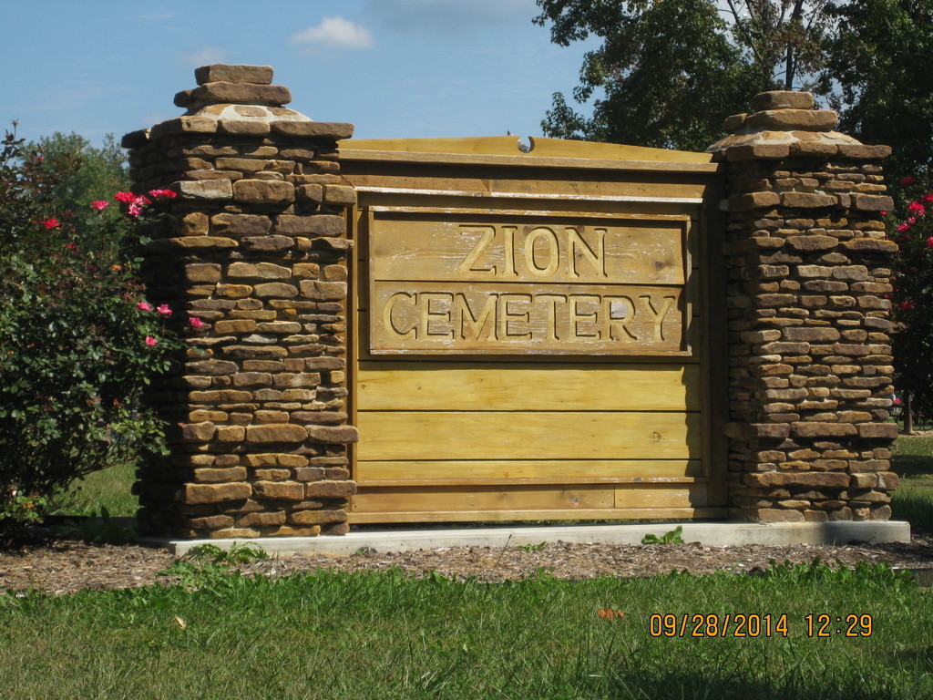
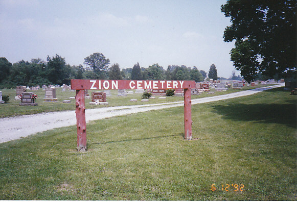
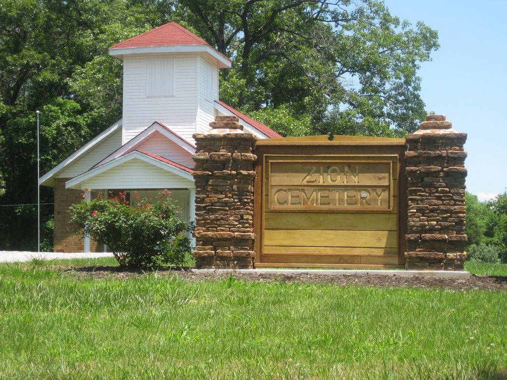
| Description | : | Approximately 7 miles northeast of Simpson, Illinois on Trigg Tower Road and Ozark Road in Pope County, Illinois. T11S, R5E, Section 30 N37* 31.860* W088* 41.980. It is across the street from Old Zion Cemetery and is located next to the New Zion Methodist Church. People often refer to the cemetery as being located in Ozark which is a nearby town located in Johnson County, IL close to the Pope County cemetery. |
frequently asked questions (FAQ):
-
Where is New Zion Cemetery?
New Zion Cemetery is located at McCormick, Pope County ,Illinois ,USA.
-
New Zion Cemetery cemetery's updated grave count on graveviews.com?
0 memorials
-
Where are the coordinates of the New Zion Cemetery?
Latitude: 37.5308970
Longitude: -88.7006110
Nearby Cemetories:
1. Old Zion Cemetery
Pope County, USA
Coordinate: 37.5299100, -88.7022470
2. Rushing Cemetery
Ozark, Johnson County, USA
Coordinate: 37.5400009, -88.7367020
3. Griffin Cemetery
Pope County, USA
Coordinate: 37.5293999, -88.6472015
4. Beames Cemetery
Pope County, USA
Coordinate: 37.5433006, -88.6399994
5. Cedar Grove Cemetery
Eddyville, Pope County, USA
Coordinate: 37.5016340, -88.6385350
6. Rolston-Hazel Cemetery
Robbs, Pope County, USA
Coordinate: 37.4735450, -88.6900520
7. Wise-Robinson Cemetery
Ozark, Johnson County, USA
Coordinate: 37.5561000, -88.7728000
8. Reynoldsburg Cemetery
Reynoldsburg, Johnson County, USA
Coordinate: 37.5183700, -88.7788000
9. Bozarth Cemetery
Pope County, USA
Coordinate: 37.5952988, -88.6860962
10. Cedar Creek Cemetery
Johnson County, USA
Coordinate: 37.5125008, -88.7846985
11. Saint Francis De Sales Cemetery
New Burnside, Johnson County, USA
Coordinate: 37.5702700, -88.7777900
12. Miller Grove Cemetery
Robbs, Pope County, USA
Coordinate: 37.4827333, -88.6313667
13. Joyner Cemetery
Saline County, USA
Coordinate: 37.6049995, -88.6994019
14. Gilead Cemetery
Simpson, Johnson County, USA
Coordinate: 37.4830300, -88.7721900
15. Rock Spring Primitive Baptist Church Cemetery
Simpson, Johnson County, USA
Coordinate: 37.4589130, -88.7288160
16. Boulden Cemetery
Pope County, USA
Coordinate: 37.5233420, -88.6053840
17. Little Saline Cemetery
Stonefort, Saline County, USA
Coordinate: 37.6064160, -88.6778270
18. New Burnside Cemetery
New Burnside, Johnson County, USA
Coordinate: 37.5789500, -88.7813900
19. Blackman Cemetery
Stonefort, Saline County, USA
Coordinate: 37.6107740, -88.6754530
20. Glendale Cemetery
Glendale, Pope County, USA
Coordinate: 37.4522740, -88.6690660
21. Woodside Cemetery
Johnson County, USA
Coordinate: 37.5443993, -88.8043976
22. Bolton-Trammell Cemetery
Stonefort, Williamson County, USA
Coordinate: 37.6147003, -88.7217026
23. Crossroads Cemetery
Simpson, Johnson County, USA
Coordinate: 37.4669400, -88.7744500
24. Fern Cemetery
Johnson County, USA
Coordinate: 37.4972000, -88.8016968