
| Memorials | : | 0 |
| Location | : | Clarksville, Montgomery County, USA |
| Coordinate | : | 36.5019530, -87.1339040 |
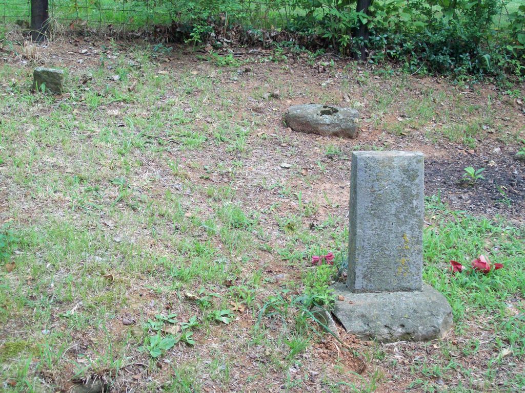
| Description | : | This is a small family cemetery located between houses # 5101 & 5111 Through Springs Rd (and those addresses and zip code are in the Adams community of Clarksville). To get there from downtown Clarksville: 1 ~ Take Hwy 76 East and turn Right onto Sango Rd. 2 ~ Take Sango Rd to Through Springs Rd and turn Left. 3 ~ Take Through Springs Rd 6 miles to # 5101 & 5111 (about half way between Nichols Ln & Nichols Rd), as the cemetery is on the left (North) side between the two houses. |
frequently asked questions (FAQ):
-
Where is Nichols Cemetery?
Nichols Cemetery is located at 5101 - 5111 Through Springs Road, Clarksville, Montgomery County ,Tennessee , 37010USA.
-
Nichols Cemetery cemetery's updated grave count on graveviews.com?
0 memorials
-
Where are the coordinates of the Nichols Cemetery?
Latitude: 36.5019530
Longitude: -87.1339040
Nearby Cemetories:
1. Head Cemetery
Clarksville, Montgomery County, USA
Coordinate: 36.4789800, -87.1253100
2. Mount Carmel Cemetery
Montgomery County, USA
Coordinate: 36.4689217, -87.1498184
3. Farmer Cemetery
Adams, Robertson County, USA
Coordinate: 36.5092420, -87.1786780
4. Connell Cemetery
Robertson County, USA
Coordinate: 36.5121994, -87.0858002
5. Fort Family Cemetery
Clarksville, Montgomery County, USA
Coordinate: 36.4612000, -87.1460900
6. Darden Cemetery
Robertson County, USA
Coordinate: 36.4803009, -87.0868988
7. Moody-Cage Cemetery
Clarksville, Montgomery County, USA
Coordinate: 36.4583240, -87.1244320
8. Darden Cemetery
Robertson County, USA
Coordinate: 36.4688988, -87.0960999
9. Benevolent Lodge Cemetery
Montgomery County, USA
Coordinate: 36.5504820, -87.1541050
10. Brewers Chapel Cemetery
Cheatham County, USA
Coordinate: 36.4435997, -87.1241989
11. Stack
Pleasant View, Cheatham County, USA
Coordinate: 36.4408936, -87.1352534
12. Stack-Baggett Cemetery
Pleasant View, Cheatham County, USA
Coordinate: 36.4407997, -87.1342010
13. Little Hope Cemetery
Clarksville, Montgomery County, USA
Coordinate: 36.5284120, -87.2075730
14. Hogan Cemetery
Montgomery County, USA
Coordinate: 36.4585320, -87.1941410
15. Bethel Memorial Cemetery
Clarksville, Montgomery County, USA
Coordinate: 36.5066719, -87.2181015
16. Albright Cemetery
Montgomery County, USA
Coordinate: 36.4636002, -87.2042007
17. Dunn
Robertson County, USA
Coordinate: 36.5355924, -87.0590114
18. Antioch Baptist Church Cemetery
Cedar Hill, Robertson County, USA
Coordinate: 36.4851420, -87.0503640
19. Alley Cemetery
Robertson County, USA
Coordinate: 36.4972000, -87.0472031
20. Shearon Cemetery
Cheatham County, USA
Coordinate: 36.4291992, -87.1461029
21. Dunn Cemetery
Adams, Robertson County, USA
Coordinate: 36.5696983, -87.0963974
22. Baxter Cemetery
Robertson County, USA
Coordinate: 36.4928017, -87.0421982
23. Nevell Chapel Cemetery
Clarksville, Montgomery County, USA
Coordinate: 36.5241810, -87.2252040
24. Power Cemetery 1837
Clarksville, Montgomery County, USA
Coordinate: 36.5771980, -87.1549454