
| Memorials | : | 0 |
| Location | : | Nieuwolda, Oldambt Municipality, Netherlands |
| Coordinate | : | 53.2438100, 6.9732300 |
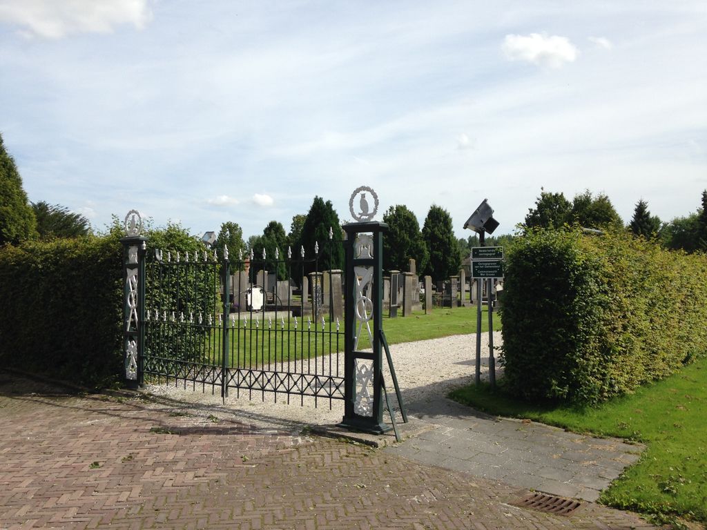
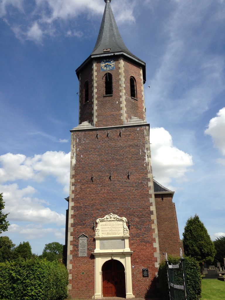
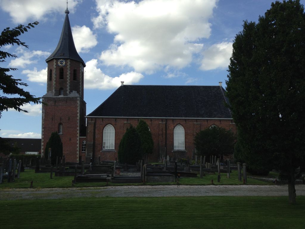
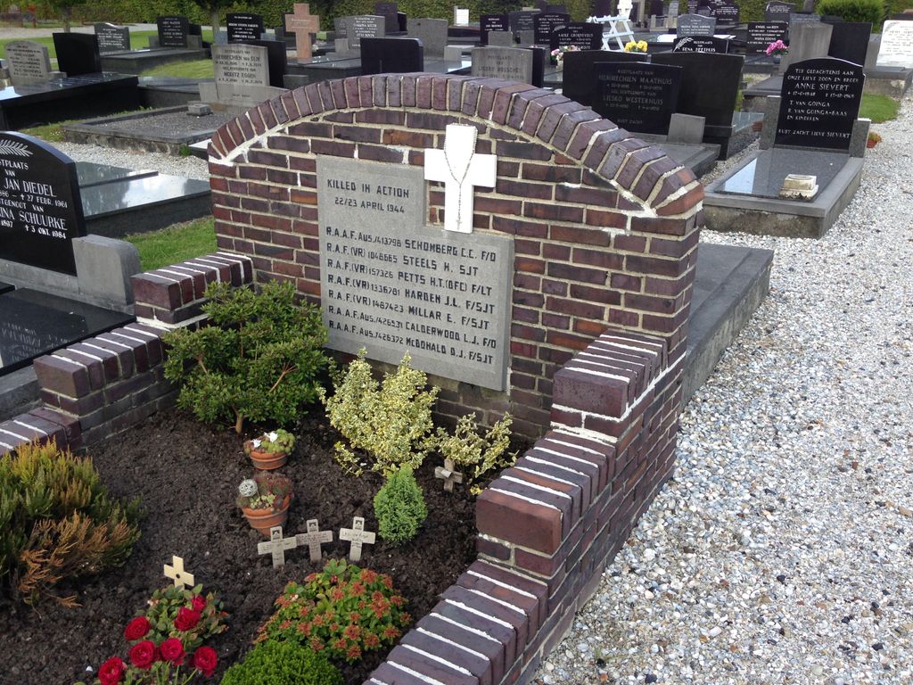
| Description | : | Nieuwolda is 37 kilometres east of Groningen and 8 kilometres north of the main Groningen-Nieuwe-Schans road. The General Cemetery is on the south side of the Protestant church, which is in the centre of Nieuwolda. It is entered through the Protestant churchyard. |
frequently asked questions (FAQ):
-
Where is Nieuwolda General Cemetery?
Nieuwolda General Cemetery is located at Nieuwolda, Oldambt Municipality ,Groningen ,Netherlands.
-
Nieuwolda General Cemetery cemetery's updated grave count on graveviews.com?
0 memorials
-
Where are the coordinates of the Nieuwolda General Cemetery?
Latitude: 53.2438100
Longitude: 6.9732300
Nearby Cemetories:
1. Wagenborgen Algemene Begraafplaats
Wagenborgen, Delfzijl Municipality, Netherlands
Coordinate: 53.2537100, 6.9268900
2. Nieuw-Scheemda Protestant Churchyard
Nieuw Scheemda, Oldambt Municipality, Netherlands
Coordinate: 53.2100700, 6.9425500
3. Woldendorp begraafplaats
Woldendorp, Delfzijl Municipality, Netherlands
Coordinate: 53.2718900, 7.0278800
4. Peter's Church & Cemetery
Woldendorp, Delfzijl Municipality, Netherlands
Coordinate: 53.2738890, 7.0269440
5. Midwolda General Cemetery
Midwolda, Oldambt Municipality, Netherlands
Coordinate: 53.1942500, 7.0108800
6. Meedhuizen algemene begraafplaats
Meedhuizen, Delfzijl Municipality, Netherlands
Coordinate: 53.2874500, 6.9133500
7. Oostwold Nederlands Hervormd Kerkhof
Oostwold, Oldambt Municipality, Netherlands
Coordinate: 53.2035300, 7.0417900
8. Oostwold Algemene Begraafplaats
Oostwold, Oldambt Municipality, Netherlands
Coordinate: 53.2016200, 7.0441900
9. Scheemda Hoflaan Begraafplaats
Scheemda, Oldambt Municipality, Netherlands
Coordinate: 53.1810200, 6.9687900
10. Scheemda Protestant Church Cemetery
Scheemda, Oldambt Municipality, Netherlands
Coordinate: 53.1747842, 6.9623618
11. Eexter Begraafplaats
Scheemda, Oldambt Municipality, Netherlands
Coordinate: 53.1746100, 6.9629500
12. Joodse Begraafplaats
Farmsum, Delfzijl Municipality, Netherlands
Coordinate: 53.3174400, 6.9299400
13. Finsterwolde Begraafplaats
Finsterwolde, Oldambt Municipality, Netherlands
Coordinate: 53.1967910, 7.1034440
14. Schildwolde Begraafplaats
Schildwolde, Slochteren Municipality, Netherlands
Coordinate: 53.2313400, 6.8188100
15. Delfzijl General Cemetery
Delfzijl, Delfzijl Municipality, Netherlands
Coordinate: 53.3321200, 6.9213700
16. Joodse Begraafplaats
Zuidbroek, Menterwolde Municipality, Netherlands
Coordinate: 53.1786750, 6.8508180
17. Beerta Cemetery
Beerta, Oldambt Municipality, Netherlands
Coordinate: 53.1756500, 7.0958400
18. Westerlee Churchyard
Westerlee, Oldambt Municipality, Netherlands
Coordinate: 53.1423510, 6.9815000
19. Winschoten Oude Begraafplaats
Winschoten, Oldambt Municipality, Netherlands
Coordinate: 53.1450200, 7.0246400
20. Oude Joodse Begraafplaats
Sint Vitusholt, Oldambt Municipality, Netherlands
Coordinate: 53.1437480, 7.0231610
21. Joodse Begraafplaats
Appingedam, Appingedam Municipality, Netherlands
Coordinate: 53.3238400, 6.8562700
22. Meeden algemene begraafplaats
Meeden, Menterwolde Municipality, Netherlands
Coordinate: 53.1402300, 6.9321200
23. Appingedam Rusthof Begraafplaats
Appingedam, Appingedam Municipality, Netherlands
Coordinate: 53.3237400, 6.8500800
24. Linger hill
Oling, Appingedam Municipality, Netherlands
Coordinate: 53.3166656, 6.8333335