
| Memorials | : | 1 |
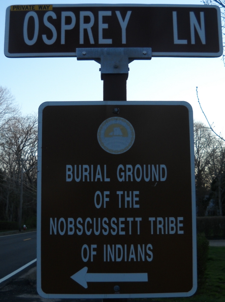
| Location | : | Dennis, Barnstable County, USA |
| Coordinate | : | 41.7451330, -70.1830350 |
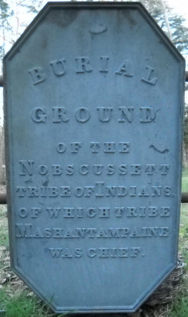
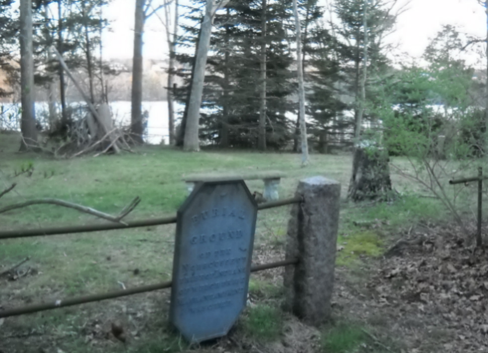
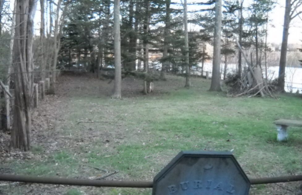
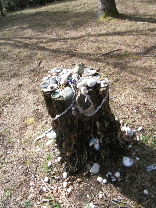
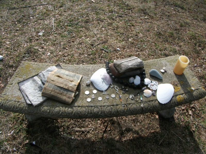
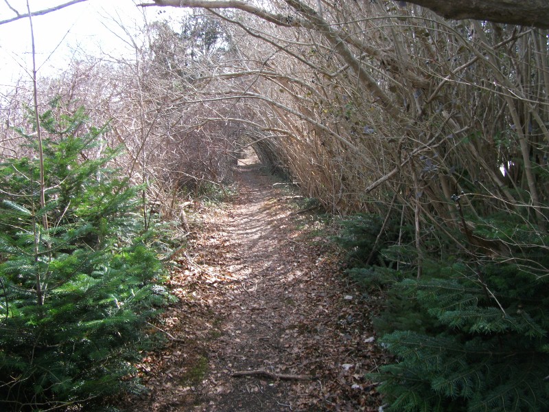
| Description | : | The people of the area today known as Cape Cod were engaged in beaver skin trade with both England and France. In 1614, English Captain Thomas Hunt captured over 20 Nausett (the Nobscussett Indians were part of the Nausett confederation) and Patuxet Indians, brought them to Spain, and sold as many as he could into slavery. The captures outraged the Indians and they stopped the trading. In 1618/19, a plague killed most of the Nobscussett. Possibly, the buring of the dead from this plague marks the origin of this Burial Ground. The Nobscussett was the first tribe to meet the Mayflower... Read More |
frequently asked questions (FAQ):
-
Where is Nobscusset Indian Burial Ground?
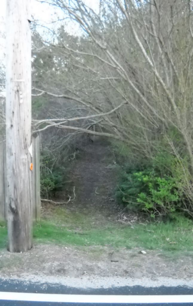
Nobscusset Indian Burial Ground is located at off Osprey Lane Dennis, Barnstable County ,Massachusetts ,USA.
-
Nobscusset Indian Burial Ground cemetery's updated grave count on graveviews.com?
1 memorials
-
Where are the coordinates of the Nobscusset Indian Burial Ground?
Latitude: 41.7451330
Longitude: -70.1830350
Nearby Cemetories:
1. Corporation Beach Memorial Park
Dennis, Barnstable County, USA
Coordinate: 41.7507000, -70.1875000
2. Paddock Cemetery
East Dennis, Barnstable County, USA
Coordinate: 41.7430992, -70.1735992
3. Hall Cemetery
Dennis, Barnstable County, USA
Coordinate: 41.7435989, -70.1943970
4. Dennis Village Cemetery
Dennis, Barnstable County, USA
Coordinate: 41.7373466, -70.1924286
5. Howes Family Cemetery
Dennis, Barnstable County, USA
Coordinate: 41.7344017, -70.2014008
6. Worden Cemetery
East Dennis, Barnstable County, USA
Coordinate: 41.7425003, -70.1517029
7. Sears Cemetery
West Brewster, Barnstable County, USA
Coordinate: 41.7442017, -70.1457977
8. Quivet Neck Cemetery
East Dennis, Barnstable County, USA
Coordinate: 41.7500000, -70.1417007
9. Red Top Cemetery
Brewster, Barnstable County, USA
Coordinate: 41.7433014, -70.1342010
10. Oak Ridge Cemetery
South Dennis, Barnstable County, USA
Coordinate: 41.7111015, -70.1556015
11. Quaker Cemetery
Dennis, Barnstable County, USA
Coordinate: 41.7043991, -70.1713028
12. Bass Hole Memorial Garden
Yarmouth Port, Barnstable County, USA
Coordinate: 41.7228810, -70.2355470
13. Dillingham Cemetery
Brewster, Barnstable County, USA
Coordinate: 41.7444000, -70.1183014
14. Ancient Cemetery
Yarmouth Port, Barnstable County, USA
Coordinate: 41.7111015, -70.2332993
15. Thacher Property Burial Ground
Yarmouth Port, Barnstable County, USA
Coordinate: 41.7084800, -70.2438500
16. Ancient Cemetery
South Dennis, Barnstable County, USA
Coordinate: 41.6892014, -70.1568985
17. Woodside Cemetery
Yarmouth Port, Barnstable County, USA
Coordinate: 41.7000008, -70.2472000
18. Brewster Cemetery
Brewster, Barnstable County, USA
Coordinate: 41.7618200, -70.0973300
19. North Harwich Cemetery
North Harwich, Barnstable County, USA
Coordinate: 41.6956700, -70.1221700
20. Memorial Park
South Yarmouth, Barnstable County, USA
Coordinate: 41.6776350, -70.1925520
21. Georgetown Cemetery
South Yarmouth, Barnstable County, USA
Coordinate: 41.6731415, -70.1818695
22. South Dennis Cemetery
South Dennis, Barnstable County, USA
Coordinate: 41.6761017, -70.1556015
23. Indian Memorial Cemetery
South Yarmouth, Barnstable County, USA
Coordinate: 41.6704400, -70.1913900
24. Quaker Meeting House Cemetery
South Yarmouth, Barnstable County, USA
Coordinate: 41.6689987, -70.1846008