
| Memorials | : | 20 |
| Location | : | Noel, McDonald County, USA |
| Coordinate | : | 36.5507900, -94.4738000 |
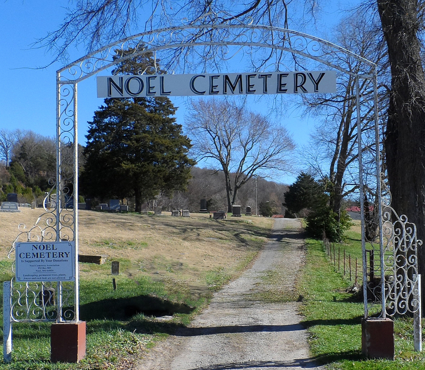
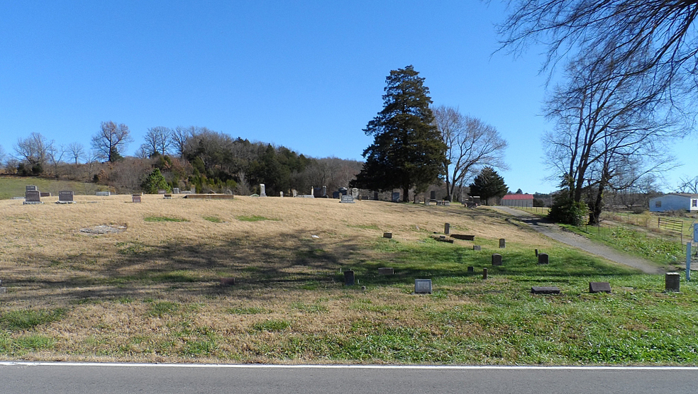
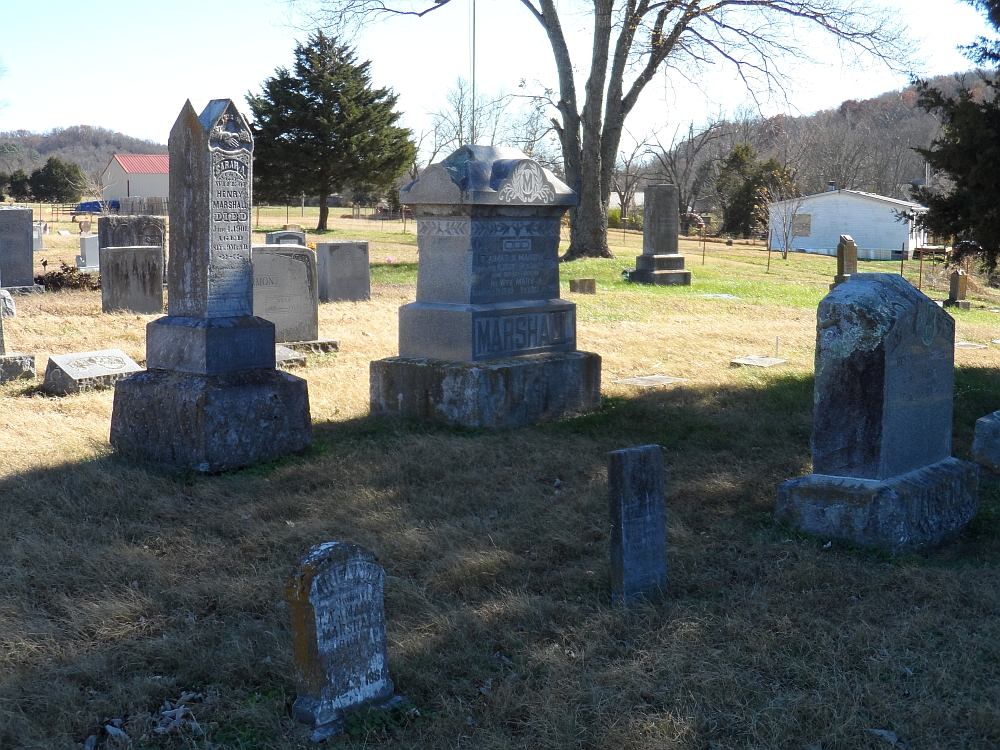
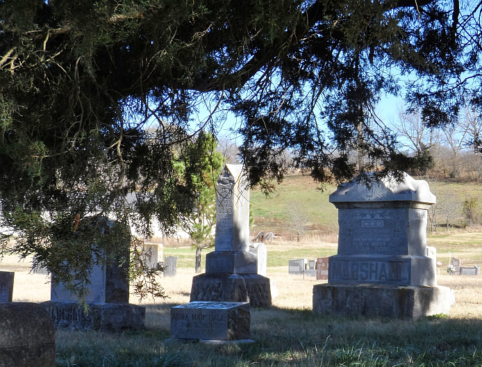
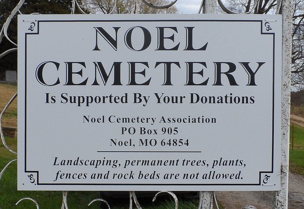
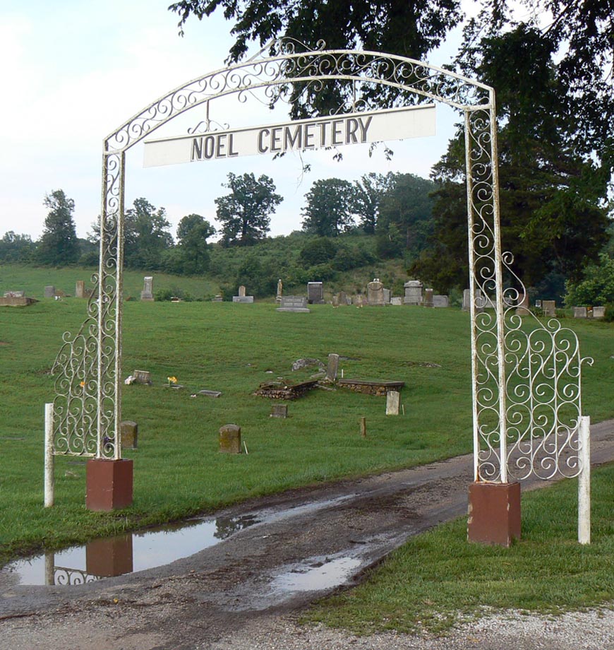
| Description | : | Noel Cemetery - Located in Section 14, Township 21 North, Range 33 West, on Highway H, on the East side of Noel. Noel Cemetery is located on land originally owned by Clark WALLACE, and later owned by Thomas A. MARSHALL, who established a store and the Noel Post Office. Mr. Marshall named the town in honor of Willis Bridges NOEL, original owner of the land the town was established on. The cemetery, originally known as the Marshall Cemetery, is the old front section, located directly to the left as you enter the gate to the Noel Cemetery. It is... Read More |
frequently asked questions (FAQ):
-
Where is Noel Cemetery?
Noel Cemetery is located at From Main Street in Noel: 1-1/2 miles Northeast on Highway H Noel, McDonald County ,Missouri , 64854USA.
-
Noel Cemetery cemetery's updated grave count on graveviews.com?
17 memorials
-
Where are the coordinates of the Noel Cemetery?
Latitude: 36.5507900
Longitude: -94.4738000
Nearby Cemetories:
1. Butler-Browning Cemetery
Noel, McDonald County, USA
Coordinate: 36.5293500, -94.4861600
2. Petty Cemetery
Noel, McDonald County, USA
Coordinate: 36.5279200, -94.4618900
3. Stone Cemetery
Noel, McDonald County, USA
Coordinate: 36.5780983, -94.5139008
4. Butler Creek Cemetery
Sulphur Springs, Benton County, USA
Coordinate: 36.4958000, -94.4800034
5. Shelt Noel Cemetery
Noel, McDonald County, USA
Coordinate: 36.5726600, -94.4097200
6. Lanagan Cemetery
Lanagan, McDonald County, USA
Coordinate: 36.6054690, -94.4498490
7. GAR Cemetery
Sulphur Springs, Benton County, USA
Coordinate: 36.4914017, -94.4431000
8. Heavens Gate Cemetery
Anderson, McDonald County, USA
Coordinate: 36.6192778, -94.5005000
9. Pineville Cemetery
Pineville, McDonald County, USA
Coordinate: 36.5894600, -94.3898800
10. Lee Cemetery
Gravette, Benton County, USA
Coordinate: 36.4780998, -94.5235977
11. Saratoga Springs Cemetery
Saratoga Springs, McDonald County, USA
Coordinate: 36.5505981, -94.5830994
12. Beavers Cemetery
Bella Vista, Benton County, USA
Coordinate: 36.4982986, -94.3799973
13. Lawhorn Cemetery
Anderson, McDonald County, USA
Coordinate: 36.6426100, -94.4942000
14. Meador-Chandler Cemetery
Anderson, McDonald County, USA
Coordinate: 36.6362100, -94.4261500
15. Manning Cemetery
McDonald County, USA
Coordinate: 36.5957985, -94.5766983
16. Elliff Cemetery
Anderson, McDonald County, USA
Coordinate: 36.6455100, -94.4268000
17. Mount Zion Cemetery
McDonald County, USA
Coordinate: 36.6430700, -94.4183800
18. Brush Creek Cemetery
Jane, McDonald County, USA
Coordinate: 36.5387430, -94.3460370
19. Wann Cemetery
Sulphur Springs, Benton County, USA
Coordinate: 36.4818993, -94.5725021
20. County Poor Farm Cemetery
Anderson, McDonald County, USA
Coordinate: 36.6475100, -94.4150610
21. Anderson Cemetery
Anderson, McDonald County, USA
Coordinate: 36.6563911, -94.4425354
22. Langley Cemetery
McDonald County, USA
Coordinate: 36.6246986, -94.5730972
23. Beaty Cemetery
Gravette, Benton County, USA
Coordinate: 36.4456500, -94.5268000
24. Highlands United Methodist Church Columbarium
Bella Vista, Benton County, USA
Coordinate: 36.4800980, -94.3601860