| Memorials | : | 0 |
| Location | : | Laurel, Jones County, USA |
| Coordinate | : | 31.7206001, -89.0894012 |
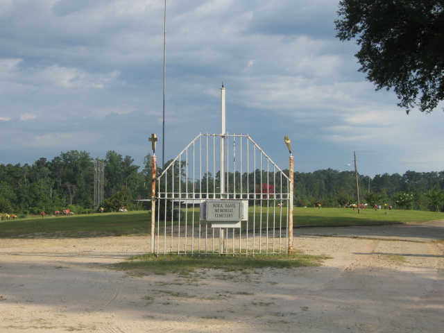
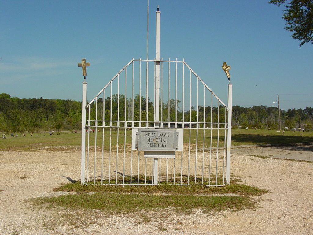
| Description | : | Nora Davis Memorial Cemetery is an African American cemetery located northeast of Laurel Mississippi between Smith Chapel Road and Keller Road. The cemetery appears to be maintained and burials continue to be made in the cemetery. Directions to the cemetery: From the Interstate 59, Exit 99 (Highway 11), go north for 1.2 miles. Turn right on Eastview Drive. Go 1.2 miles on Eastview to the cemetery. The entrance to the cemetery is on the South side road surrounded by a rod iron fence with two white pillars into the entrance. |
frequently asked questions (FAQ):
-
Where is Nora Davis Memorial Cemetery?
Nora Davis Memorial Cemetery is located at 1635 Eastview Drive Laurel, Jones County ,Mississippi ,USA.
-
Nora Davis Memorial Cemetery cemetery's updated grave count on graveviews.com?
0 memorials
-
Where are the coordinates of the Nora Davis Memorial Cemetery?
Latitude: 31.7206001
Longitude: -89.0894012
Nearby Cemetories:
1. East Pleasant Grove Church Cemetery
Laurel, Jones County, USA
Coordinate: 31.7221970, -89.0874170
2. East View Baptist Church Cemetery
Jones County, USA
Coordinate: 31.6961100, -89.0958300
3. Lawn Haven Church Cemetery
Laurel, Jones County, USA
Coordinate: 31.7012500, -89.0535000
4. Cooley Cemetery
Mount Olive, Jones County, USA
Coordinate: 31.7432407, -89.0541871
5. Mount Olive Cemetery
Laurel, Jones County, USA
Coordinate: 31.7434550, -89.0541130
6. Rushton Cemetery
Laurel, Jones County, USA
Coordinate: 31.7197200, -89.0429500
7. Memorial Gardens
Laurel, Jones County, USA
Coordinate: 31.6977800, -89.0505600
8. Memorial Park Cemetery
Jones County, USA
Coordinate: 31.6966991, -89.0505981
9. Lake Park Cemetery
Laurel, Jones County, USA
Coordinate: 31.7054700, -89.1411300
10. Crestview Memorial Cemetery
Laurel, Jones County, USA
Coordinate: 31.7043400, -89.1416000
11. Hayes Chapel Cemetery
Laurel, Jones County, USA
Coordinate: 31.7440190, -89.1391850
12. Palestine Cemetery
Laurel, Jones County, USA
Coordinate: 31.7371998, -89.1430969
13. Windham Cemetery
Laurel, Jones County, USA
Coordinate: 31.6839008, -89.1268997
14. Hickory Grove Cemetery
Laurel, Jones County, USA
Coordinate: 31.7066994, -89.1442032
15. Erata Cemetery
Errata, Jones County, USA
Coordinate: 31.7616997, -89.0586014
16. Mount Moriah Baptist Church Cemetery
Sharon, Jones County, USA
Coordinate: 31.7668896, -89.1086121
17. Fall Cemetery
Jones County, USA
Coordinate: 31.7374992, -89.0350037
18. Gore-Patterson Cemetery
Cleo, Jones County, USA
Coordinate: 31.7037630, -89.0349630
19. Faith Bible Church Cemetery
Laurel, Jones County, USA
Coordinate: 31.6749230, -89.1117610
20. Bethlehem Baptist Church Cemetery
Laurel, Jones County, USA
Coordinate: 31.6970615, -89.0373230
21. Herrington
Jones County, USA
Coordinate: 31.7349560, -89.0320010
22. Goodwill Baptist Church Cemetery
Laurel, Jones County, USA
Coordinate: 31.6721900, -89.0689810
23. Sun Light Baptist Church Cemetery
Laurel, Jones County, USA
Coordinate: 31.7616640, -89.1378400
24. Mount Vernon Cemetery
Glade, Jones County, USA
Coordinate: 31.6646996, -89.1097031


