
| Memorials | : | 3 |
| Location | : | Nestor Falls, Kenora District, Canada |
| Coordinate | : | 49.1343810, -93.9210630 |
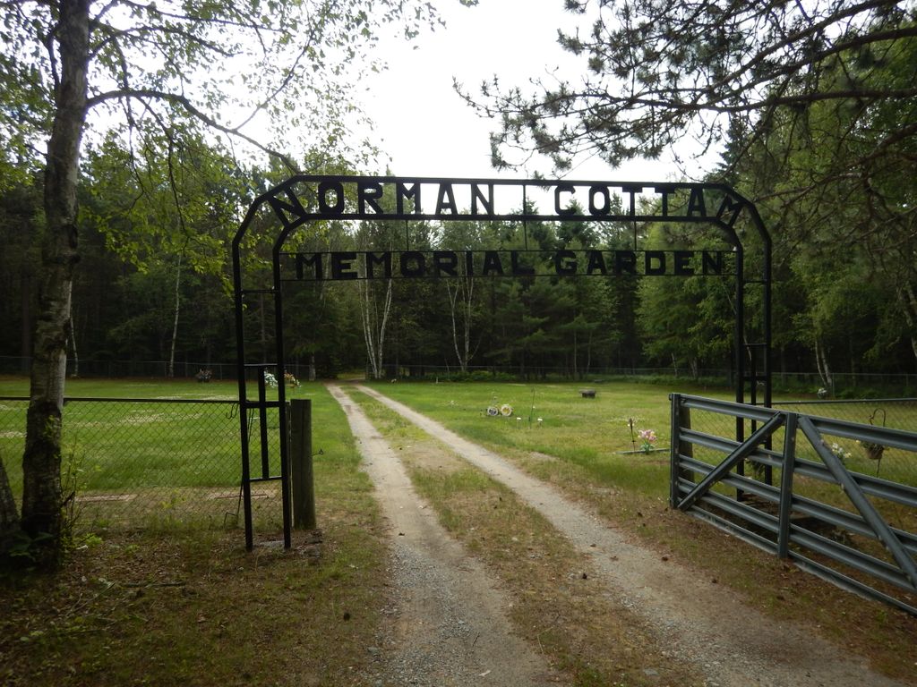
| Description | : | Norman Cottam Memorial Gardens Cemetery Nestor Falls, Township of Sioux Narrows - Nestor Falls Kenora District *****Directions***** Proceed 93 kms south from the junction of Hwys 17 and 71, turn left (east) on Airport Road next to the Sunset Place Mall. Proceed .2 kms to Fire Road #21 and head down the road for .15 kms to the cemetery. NORMAN COTTAM MEMORIAL GARDEN CEMETERY NORMAN COTTAM MEMORIAL GARDEN BOX 23 NESTOR FALLS P0X 1K0 807-484-2403 LOT EB 2294, CONC. R 1910 EB 2294 PLAN KR 1910 ACTIVE 49.08.03.67N-93.55.15.13W Elevation: 1201 Feet |
frequently asked questions (FAQ):
-
Where is Norman Cottam Memorial Gardens?
Norman Cottam Memorial Gardens is located at Nestor Falls, Kenora District ,Ontario ,Canada.
-
Norman Cottam Memorial Gardens cemetery's updated grave count on graveviews.com?
2 memorials
-
Where are the coordinates of the Norman Cottam Memorial Gardens?
Latitude: 49.1343810
Longitude: -93.9210630
Nearby Cemetories:
1. Pineridge Cemetery
Sioux Narrows, Kenora District, Canada
Coordinate: 49.3975171, -94.0623584
2. Shenston Presbyterian Cemetery
Shenston, Rainy River District, Canada
Coordinate: 48.7222730, -94.0851720
3. Chapple Cemetery
Barwick, Rainy River District, Canada
Coordinate: 48.6862320, -93.9848570
4. Pineview Conservative Mennonite Church Cemetery
Barwick, Rainy River District, Canada
Coordinate: 48.6632100, -94.0060700
5. Pineview Cemetery
Chapple, Rainy River District, Canada
Coordinate: 48.6629260, -94.0060510
6. Burriss Municipal Cemetery
Burriss, Rainy River District, Canada
Coordinate: 48.6780400, -93.6887900
7. Immaculate Conception Roman Catholic Church
Stratton, Rainy River District, Canada
Coordinate: 48.6776996, -94.1629629
8. Riverdale Cemetery
Border, Koochiching County, USA
Coordinate: 48.6996994, -94.2818985
9. Emo Municipal Cemetery
Emo, Rainy River District, Canada
Coordinate: 48.6425790, -93.8286800
10. Indus Cemetery
Indus, Koochiching County, USA
Coordinate: 48.6253610, -93.8428090
11. Birchdale Cemetery
Koochiching County, USA
Coordinate: 48.6268997, -94.1224976
12. Clementson Community Cemetery
Lake of the Woods County, USA
Coordinate: 48.6850014, -94.4338989
13. Silver Creek Cemetery
Lake of the Woods County, USA
Coordinate: 48.6883011, -94.4852982
14. Forest Lawn Cemetery
Rainy River, Rainy River District, Canada
Coordinate: 48.7220100, -94.5491000
15. Spooner Townsite Cemetery
Baudette, Lake of the Woods County, USA
Coordinate: 48.7129300, -94.5629900
16. Box Alder Cemetery
Devlin, Rainy River District, Canada
Coordinate: 48.5538090, -93.6734040
17. Old Town Cemetery
Baudette, Lake of the Woods County, USA
Coordinate: 48.7172220, -94.5930550
18. Riverside Cemetery
Loman, Koochiching County, USA
Coordinate: 48.5217018, -93.8118973
19. Elm Park Cemetery
Baudette, Lake of the Woods County, USA
Coordinate: 48.7010994, -94.5939026
20. Wabanica Lutheran Church Cemetery
Baudette, Lake of the Woods County, USA
Coordinate: 48.7774400, -94.6948800
21. Fort Frances Cemetery
Fort Frances, Rainy River District, Canada
Coordinate: 48.6114100, -93.4090200
22. Holy Cross Cemetery
Fort Frances, Rainy River District, Canada
Coordinate: 48.5998800, -93.4373500
23. Saint Mary's Cemetery
Fort Frances, Rainy River District, Canada
Coordinate: 48.6113380, -93.4089920
24. Riverview Cemetery
Fort Frances, Rainy River District, Canada
Coordinate: 48.5993500, -93.4370000