
| Memorials | : | 5 |
| Location | : | Bristol, Bristol County, USA |
| Coordinate | : | 41.6883011, -71.2818985 |
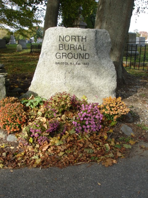
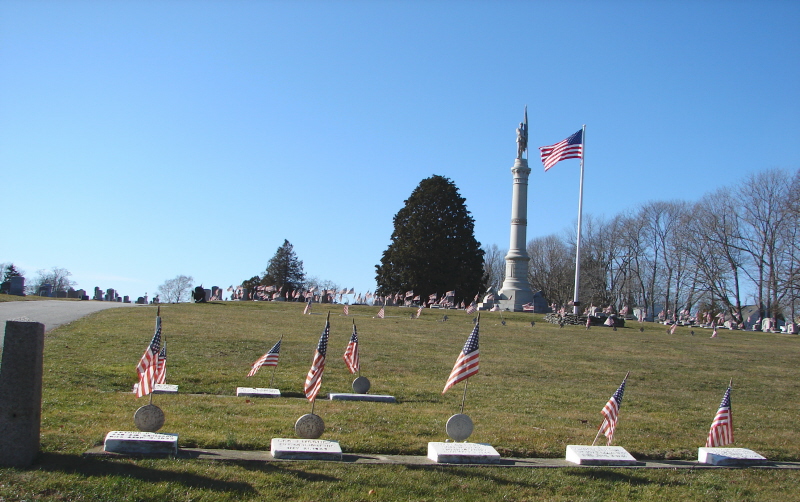
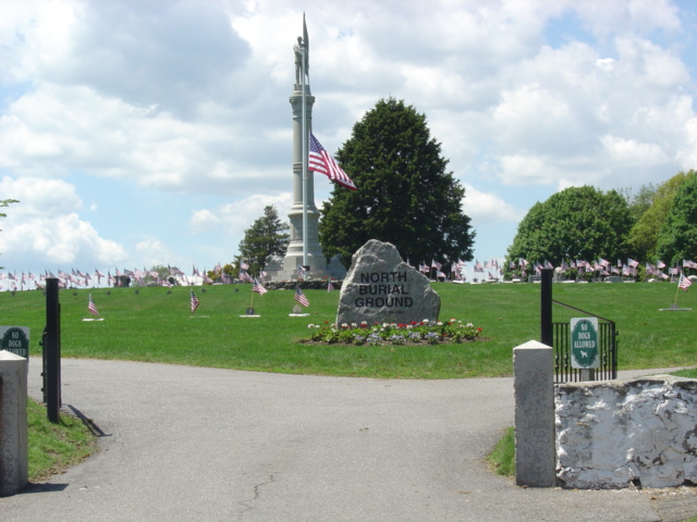
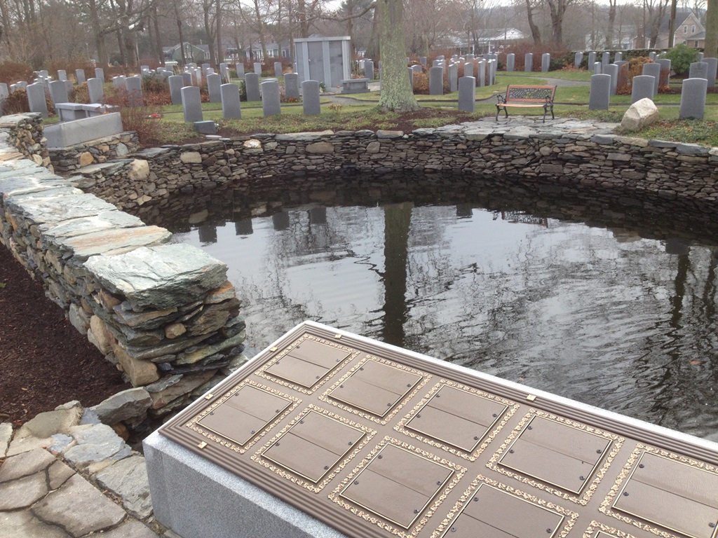
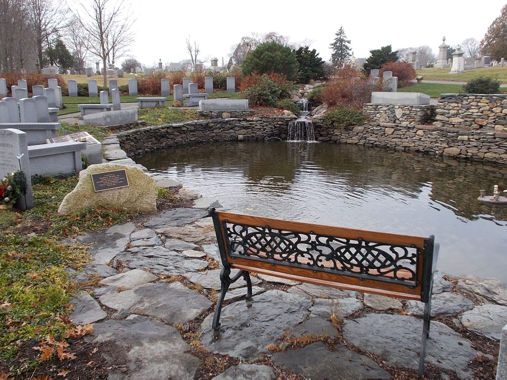
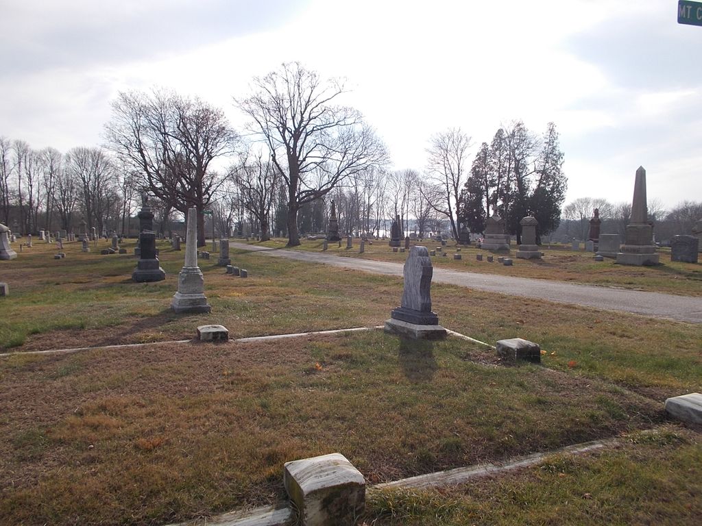
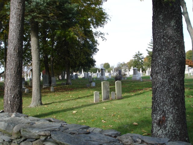
| Description | : | Located 15 feet west of Hope Street (Route 114) at Asylum Road, ajunct to entrance to Colt State Park. 9000 burials. In 1822 the town purchased a tract of land on the Neck for the purpose of erecting a "House of Industry" (poorhouse). At the town meeting on April 17, 1822 it was voted "A part of said town land be set apart for a ground, the same to be well enclosed this cemetery covers 30.8 acres. 18.9 is now being used and 11.9 acres at the west end is for expansion. |
frequently asked questions (FAQ):
-
Where is North Burial Ground?
North Burial Ground is located at Hope Street Bristol, Bristol County ,Rhode Island ,USA.
-
North Burial Ground cemetery's updated grave count on graveviews.com?
5 memorials
-
Where are the coordinates of the North Burial Ground?
Latitude: 41.6883011
Longitude: -71.2818985
Nearby Cemetories:
1. Saint Mary's Cemetery
Bristol, Bristol County, USA
Coordinate: 41.6864700, -71.2727280
2. Juniper Hill Cemetery
Bristol, Bristol County, USA
Coordinate: 41.6798058, -71.2684784
3. Byfield Lot
Bristol, Bristol County, USA
Coordinate: 41.6732860, -71.2923800
4. Congregational Churchyard
Bristol, Bristol County, USA
Coordinate: 41.6721992, -71.2739716
5. Saint Michaels Churchyard
Bristol, Bristol County, USA
Coordinate: 41.6690483, -71.2763367
6. Saint Michaels Memorial Garden
Bristol, Bristol County, USA
Coordinate: 41.6689644, -71.2758255
7. East Burial Ground
Bristol, Bristol County, USA
Coordinate: 41.6704025, -71.2699280
8. West Lot
Bristol, Bristol County, USA
Coordinate: 41.6695500, -71.2712170
9. Mary Monro Gravestone Site
Bristol, Bristol County, USA
Coordinate: 41.6648420, -71.2727200
10. Walker Lot
Bristol, Bristol County, USA
Coordinate: 41.6625420, -71.2703970
11. James DeWolf Lot
Bristol, Bristol County, USA
Coordinate: 41.6651800, -71.2587590
12. Captain David Read Lot
Barrington, Bristol County, USA
Coordinate: 41.7172780, -71.2996110
13. The Miery Swamp
Bristol, Bristol County, USA
Coordinate: 41.6721200, -71.2445040
14. Quinn Family Estate
Bristol, Bristol County, USA
Coordinate: 41.6590420, -71.3011090
15. Saint Mary of the Bay Cemetery
Warren, Bristol County, USA
Coordinate: 41.7217407, -71.2754593
16. Saint John the Baptist Cemetery
Warren, Bristol County, USA
Coordinate: 41.7216415, -71.2734833
17. Burr’s Hill Pokanoket Royal Burial Ground
Warren, Bristol County, USA
Coordinate: 41.7229480, -71.2835160
18. Saint Alexander Cemetery
Warren, Bristol County, USA
Coordinate: 41.7231178, -71.2727280
19. South Burial Ground
Warren, Bristol County, USA
Coordinate: 41.7238426, -71.2787399
20. Later Handy Lot
Warren, Bristol County, USA
Coordinate: 41.7232000, -71.2661720
21. Barton Lot
Warren, Bristol County, USA
Coordinate: 41.7173700, -71.2464800
22. Benjamin Barton Lot
Warren, Bristol County, USA
Coordinate: 41.7224410, -71.2458010
23. Forest Chapel Cemetery
Barrington, Bristol County, USA
Coordinate: 41.7276840, -71.3109360
24. Cole Cemetery
Warren, Bristol County, USA
Coordinate: 41.7293000, -71.2559700