
| Memorials | : | 14 |
| Location | : | Bible Grove, Scotland County, USA |
| Coordinate | : | 40.3465700, -92.2024400 |
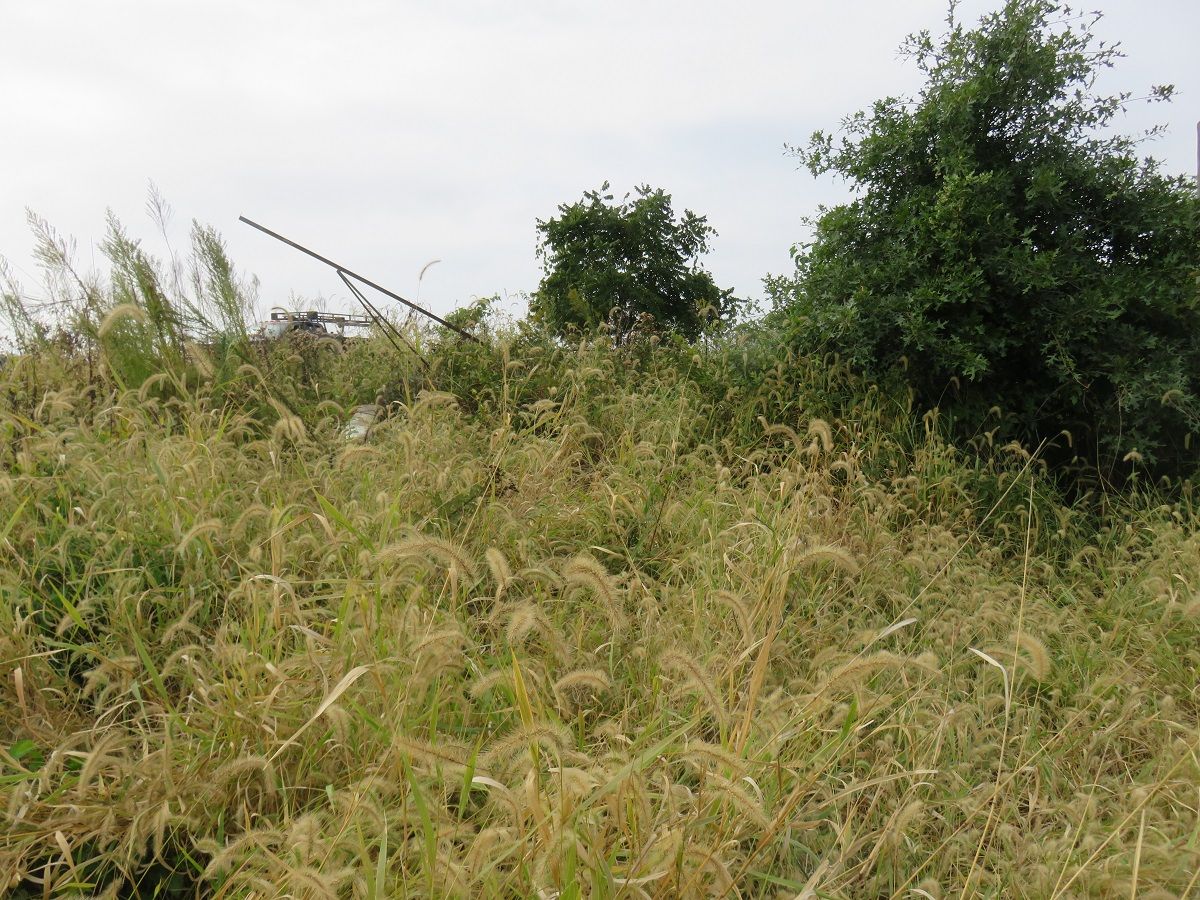
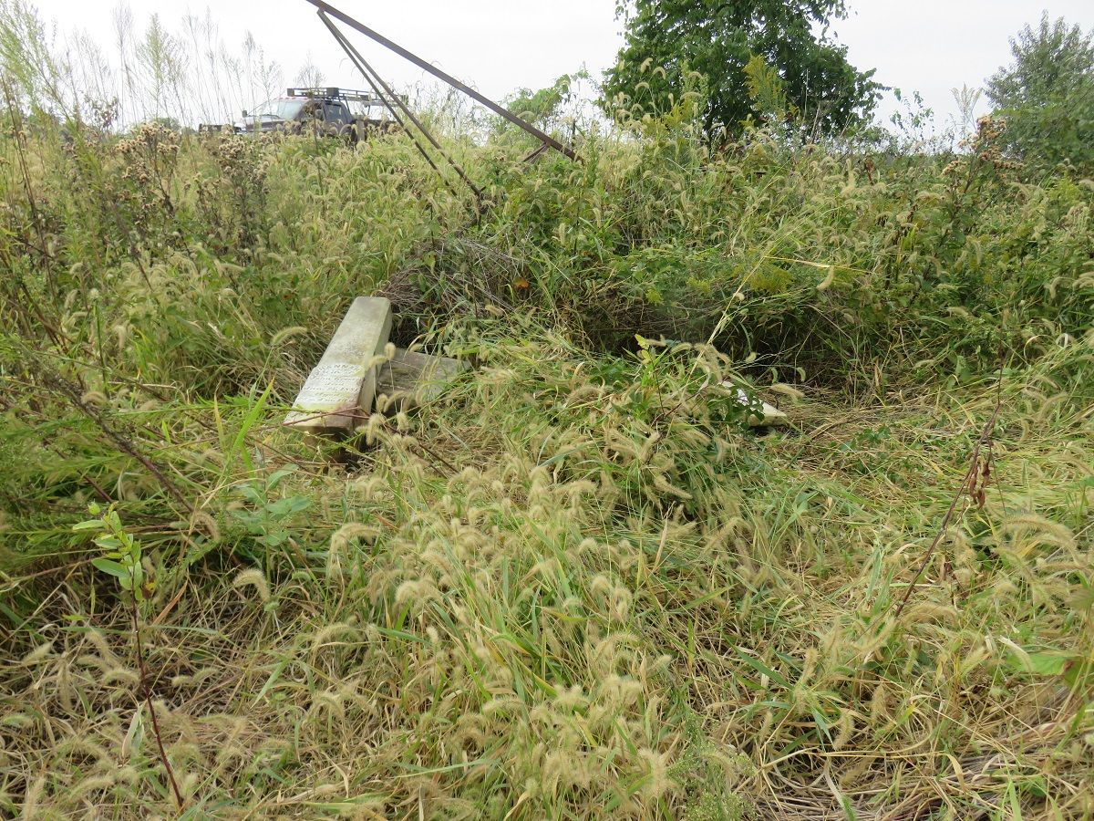
| Description | : | In about 1867 10 miles southwest of Memphis, Scotland County, Missouri, Oak Chapel Southern Methodist Episcopal Church was organized. In the early 1970's Eugene Dodge went around to all the cemeteries in Scotland County that he could find and listed all the stones that he found there. He said about 1 mile east of Fort Donaldson Cemetery on a high ridge in a pasture, owned by Dennis Small, that he found a cemetery with no name. No stones were standing, several bases were found, but only a few stones. The location he gave is where Oak Chapel Cemetery would likely... Read More |
frequently asked questions (FAQ):
-
Where is Oak Chapel Cemetery?
Oak Chapel Cemetery is located at Bible Grove, Scotland County ,Missouri ,USA.
-
Oak Chapel Cemetery cemetery's updated grave count on graveviews.com?
14 memorials
-
Where are the coordinates of the Oak Chapel Cemetery?
Latitude: 40.3465700
Longitude: -92.2024400
Nearby Cemetories:
1. Hicks Cemetery
Tobin Township, Scotland County, USA
Coordinate: 40.3466500, -92.2025590
2. Donaldson Cemetery
Scotland County, USA
Coordinate: 40.3474998, -92.2110977
3. Fort Donaldson Cemetery
Scotland County, USA
Coordinate: 40.3464012, -92.2177963
4. Forrester Cemetery
Scotland County, USA
Coordinate: 40.3361015, -92.1949997
5. Edinburg Baptist Church Cemetery
Edinburg, Scotland County, USA
Coordinate: 40.3736110, -92.1920130
6. Frogge Cemetery
Scotland County, USA
Coordinate: 40.3205986, -92.2225037
7. Pleasant Retreat Cemetery
Memphis, Scotland County, USA
Coordinate: 40.3804400, -92.2088500
8. Thomas Loe Cemetery
Mount Pleasant Township, Scotland County, USA
Coordinate: 40.3668617, -92.2478394
9. Spilman Cemetery
Scotland County, USA
Coordinate: 40.3311930, -92.1501190
10. Greensburg Cemetery
Greensburg, Knox County, USA
Coordinate: 40.2966800, -92.2127600
11. South Bethel Cemetery
Sand Hill, Scotland County, USA
Coordinate: 40.3468710, -92.1361430
12. Matlick Cemetery
Sand Hill, Scotland County, USA
Coordinate: 40.3307690, -92.1308330
13. Antioch Cemetery
Scotland County, USA
Coordinate: 40.3970700, -92.2369400
14. Concord Cemetery
Scotland County, USA
Coordinate: 40.3941994, -92.1496964
15. McAdow Cemetery
Scotland County, USA
Coordinate: 40.4048100, -92.2441800
16. Sand Hill Cemetery
Sand Hill, Scotland County, USA
Coordinate: 40.3130989, -92.1250000
17. Indian Creek Mennonite Cemetery
Scotland County, USA
Coordinate: 40.4191500, -92.1939400
18. Cunningham Cemetery
Benton Township, Knox County, USA
Coordinate: 40.2888985, -92.1393967
19. Bible Grove Christian Church Cemetery
Bible Grove, Scotland County, USA
Coordinate: 40.3528000, -92.3010300
20. Bible Grove Church of Christ Cemetery
Bible Grove, Scotland County, USA
Coordinate: 40.3526900, -92.3055800
21. Dancing Rabbit
Rutledge, Scotland County, USA
Coordinate: 40.3324900, -92.0962100
22. Slocum Cemetery
Greensburg, Knox County, USA
Coordinate: 40.2950000, -92.2980000
23. Pauline Cemetery
Rutledge, Scotland County, USA
Coordinate: 40.3093987, -92.0892029
24. Indian Creek Cemetery
Sand Hill Township, Scotland County, USA
Coordinate: 40.3539009, -92.0781021